 |
GISytems,
GIScience, GIStudies,
and GIServices
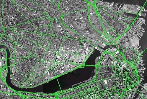
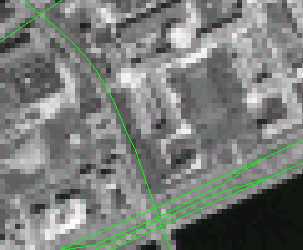
- GISystems A computerized tool that helps solve geographic problems.
- GIScience – The development of data models, algorithms, and methods for representing geography and spatial relationships in order to support spatial analysis and location-based computing
- GIA - Geographic Information and Analysis
- GIStudies the systematic study of societys use of geographic information, including institutional, organizational and procedural issues.
- GIServices The business of providing GIS data and analysis tools to GIS users (often by chaining interoperable components in lego-block fashion).