Evacuating the Departments
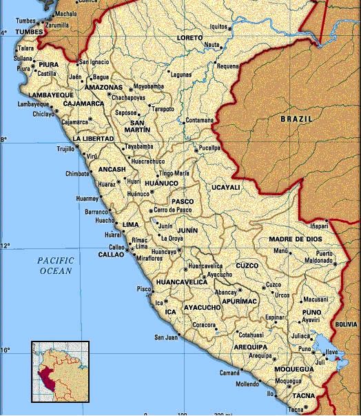
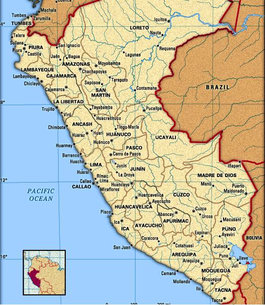
Peru is divided into first departments and then subdivided into provinces, each of which has several cities. Out of the 25 total departments, we are evacuating the 11 that border the coastline of Peru. These are the departments we are evacuating:
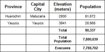
The Evacuees
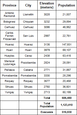
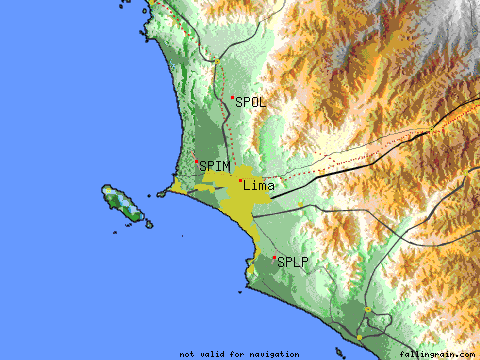
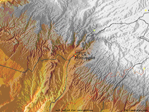
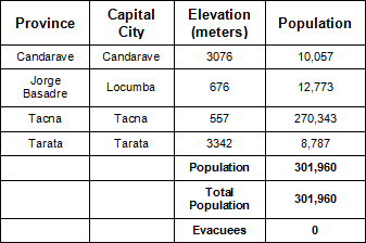
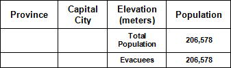
Using data from Falling Rain Genomics (source), which has information about elevations and estimated populations for 7 km radii, and GeoHive Global Statistics (source), which gives 2003 population estimates based on census information from 1993 (for Peru) and population growth rates, we evaluated each of the 11 departments to determine how many people we had to evacuate from each region. We did this by taking the entire department's population and subtracting the population of provinces that were deemed to be safe within that department. The cutoff for a city's safety was determined to be around 500-600 meters because the average elevation given on Falling Rain Genomics was for only a 7 km radius of the city, and cities tend to spread over a larger radius, so a considerable population of the city would live at a lower elevation than the estimate given. Now yes, this does make for a very large estimate because many cities are around 200 meters where presumably by a less conservative estimate, they would be safe. However, the highest tsunami ever recorded reached a height of 520 meters (source). Therefore, 500-600 meters elevation is pretty reasonable, and limits the amount of data to be considered. Also, we only looked at provinces with populations larger than 20,000 thousand people to limit the amount of data to be considered and to provide a more conservative estimate.
Ancash
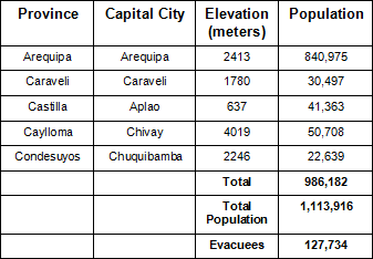
Arequipa
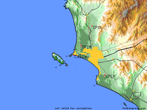
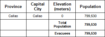
Callao
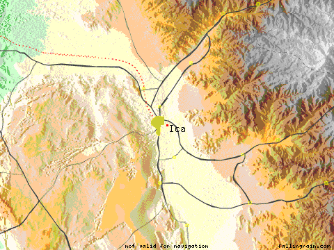
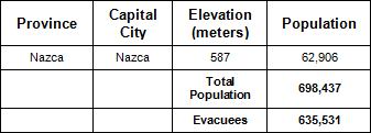
Ica
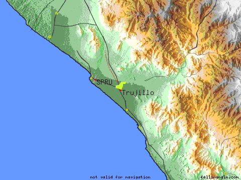
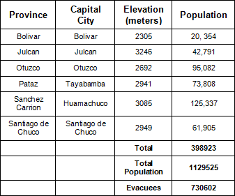
La Libertad
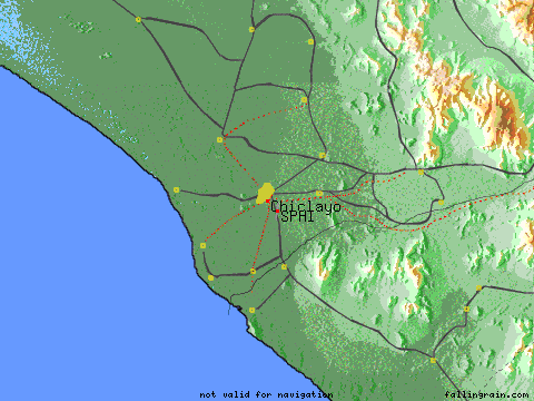
Lambayeque
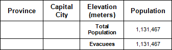
Lima
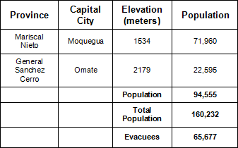
Moquegua
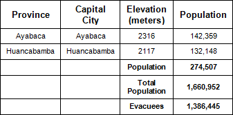
Piura
Tacna
Tumbes