12.114/12.115 Field Geology |
|
12.114/12.115 Field Geology |
|
Fall term: Class preparation
for 4 week intensive field mapping project in Nevada and California during
January IAP. The Fall course consists primarily of an introduction the
field area and its geological context. Introduction to digital mapping
techniques also takes place with sessions devoted to GIS training. A few
daytrips to local areas complement classroom instruction.
The bulk of the course takes
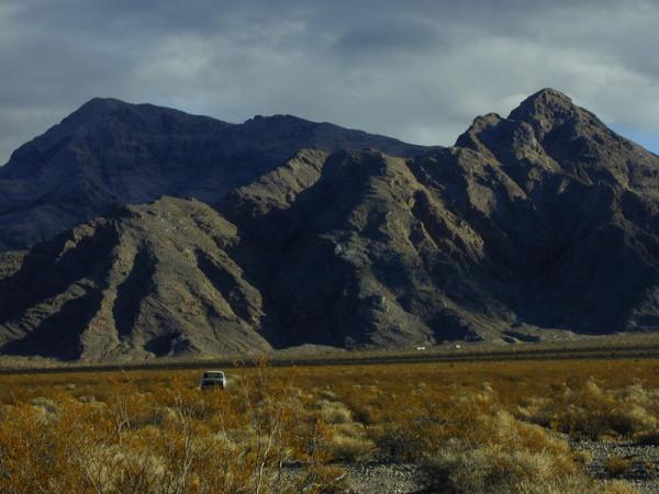
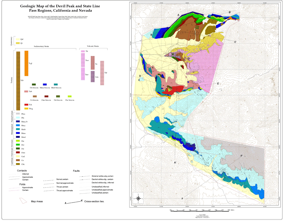
place during IAP term in January. There, a month-long intensive field session
is taught in the southwestern desert. The focus changes from year to year
with the choice of field areas (in general, the class addresses the "white
spots" on maps rather than re-visiting known and perhaps more straightforward
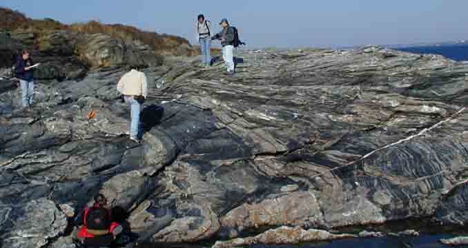
areas). Students are introduced to geological and geomorphological mapping
techniques in a wide variety of bedrock and surficial environments using
both traditional (topographic and photographic base maps, eg.) and modern,
digital data collection techniques.
The Spring term involves the
production of maps, cross-sections and reports. This course counts as a
MIT "phase II" writing requirement, so a heavy emphasis is placed on acquiring
the skills to write clear, precise scientific prose. Weekly drafts are
submitted multiple times and subject to intense scrutiny.
|
 |
INSTRUCTORS: B. Clark Burchfiel Kip V. Hodges
TAs:
Last updated May 15,2002.