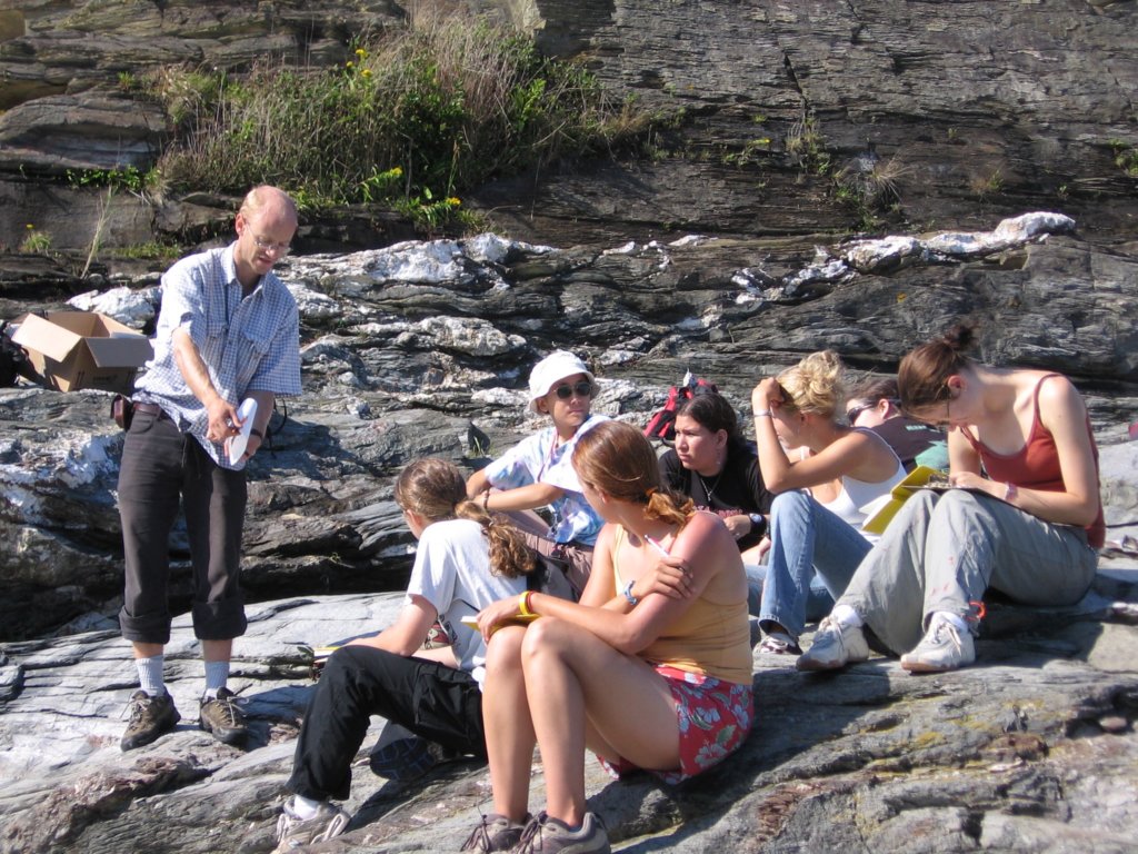

Some Final Considerations: (Lectured with out slides)----------There are no weather reports where we will be. We deal with the weather we are given.-------We use digital mapping tools to expedite the map making process. Many maps have been made in the past, but the process of getting those maps to publishable form is to cumbersome, so many maps are never completed for others to see. We hope to overcome that with these digital tools. The map we make will be in publication-ready form at the end of the semester. Using digital tools in the field also allows us to have multiple datasets available to us at the outcrop including Landsat and other remotely sensed data.--------At the end of each day, we will be digitizing our mapping results, adding both our point data and our line data into the GIS. This way, each morning, we can print out a fresh map, summarizing all the other groupís work which helps us find holes and focus areas on the map.------------The course layout: Dr. Burchfield will lecture the first half of the course about the geology of the southwest US. In the latter part of the semester, the lectures will focus on our specific field region. We will work mostly out of the GSA Decade of North American Geology (DNAG) which summarizes the tectonics of the western US.
Created with Web Album Generator