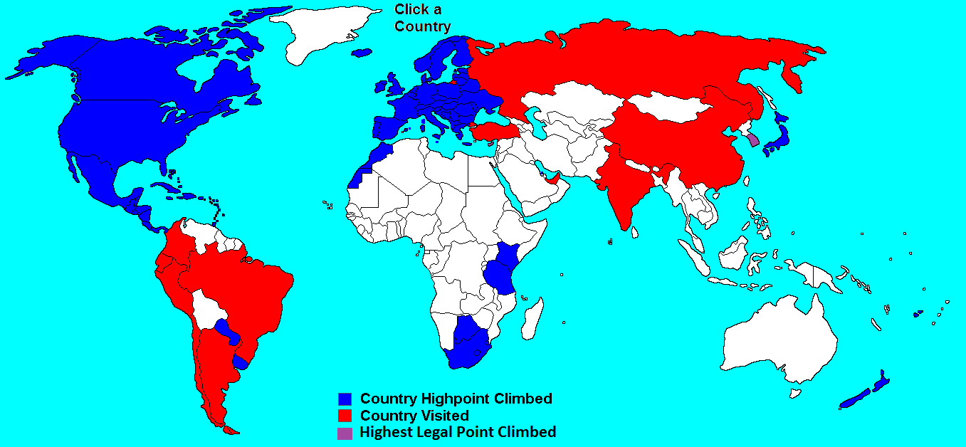
Germany
Zugspitze - 9,718ft
Eric and Matthew Gilbertson
Date: August 10, 2010
Germany - Zugspitze
Leg 10: Garmisch-Parterkirchen (“Garnish-Pickle”), Germany to Feldkirch, Austria
Including Zugspitze - Highest point in Germany
20 biking miles + 100 train miles
Germany’s Zugspitze (9718ft) was going to be our highest elevation of the summer. We still had a couple more days until we were going to meet Amanda and her mom in Zurich so we figured we could probably squeeze in the high points in Germany and Liechtenstein along the way. We didn’t know a whole lot about Zugspitze besides what we had read on the Wikipedia article, which said that the closest train station was in the town Garmisch-Parterkirchen. So we showed up to “Garnish-Pickle,” as we referred to it, and began trying to figure things out.
First I needed a new pair of shoes because a ~2 cubic inch chunk had broken off my old ones. Even though in the average full day of biking we don’t walk more than about 200ft, our shoes had taken a beating. I found a pair of 20-euro shoes that I figured would last through a couple of hikes. Next I looked at the GPS at the coordinates we had marked for the summit. It looked like a tiny little road that went in the direction of Reintal, which we heard was the “best way” to the summit. We heard that there’s even a cable car to the top, but that would be cheating. So we headed off onto the little road, hopeful that it would get us close to the base of the mountain.
As soon as we passed the Olympia Skistadion the little one-lane road shot like a rocket up the mountain. “Come on, you’ve got to be kidding me,” I complained. The grade was about 18%. We weren’t sure if bikes were allowed so we quickly started climbing before anyone could protest. The road was so steep that it was just marginally doable in our lowest gear. I chickened out and walked my bike a few times while Eric stayed on the seat like a cowboy at a rodeo. It was an excruciating grade, especially for a bike laden with 50lbs of gear. But pretty soon it leveled off.
After a little unnecessary tomfoolery in the form of some downhills we made it to the trailhead. It wasn’t clear if bikes were permitted but the rocky trail still looked doable so we kept pedaling. Pretty soon some bigger rocks began to show up and we called it quits for the biking. We didn’t see any NO CAMPING signs so we pitched the tent in a perfectly secluded area between the trail and the creek (47.42433,11.100942, for future reference). We made sure to minimize our headlamp usage so we would be even less visible.
In the morning we broke down camp and stashed the bikes and all the gear underneath the big green tarp. We stealthily snuck onto the trail and started hiking. Pretty soon we heard the rumble of an engine and a small motorcycle zipped by. An old Bavarian-looking dude with the green cap was in the front and behind him was a touristy-looking dude with a backpack. “Well if they let motorcycles on this trail then bikes are probably allowed too,” Eric said.
We crossed a bridge and came to a small tourist cabin, Bockhütte, similar to the huts in the Whites. It looked nice but it wasn’t our style. I wouldn’t pay for a hut when you can stealth-camp. The hut managers were clever because we noticed two small hydro turbines attached to the bridge that were being driven by the current. Some of the energy from the hut probably came from the turbines.
After a long flat approach we came to yet another cabin, Reintal, and began our ascent through a sheep pasture. We blasted by one hiker after another. I guess not everyone is used to biking 100 miles a day so we were in pretty good shape. A little above treeline we came to one more cabin. It was starting to seem ridiculous how many cabins there are on the mountain, but at least we could fill up water there for free.
Above that the trail turned completely to rock. We could finally start to see the outline of the mountain during a few breaks in the clouds. A massive wall towered 1500ft above us and at the top was a huge complex of buildings. Cables emanated from all directions and small cars were shuttling people to and from the top. It was a little disappointing to see so much development. We would have preferred to see it unspoiled.
Next the trail got a little tricky. It suddenly became very steep and there were all kinds of steel cables and ladder rungs anchored into the rock. It’s called “via ferrata” climbing (“iron road” in Italian). It would have been nice to have a harness and the ability to clip into the cables but we had mailed our gear home once we left Iceland so it was just going to be our bare hands on the mountain. The German trail engineers had been nice enough to blast out sections of trail to make it level. We cruised up the steep sections as fast as possible in order to minimize our chances of getting hit by falling rocks.
And then we found ourselves at the top—sort of. It was such a nice day that everybody and their grandmother had decided to take the cable car up. It was total chaos on the deck. There were so many people that you probably could have crowd-surfed your way from one end to the other. It made Mount Washington seem like a small unvisited lonely outpost. We squeezed our way through the crowd. “Man, this is pretty lame,” I said to Eric.
“Wait,” Eric said, “the real top is over there!” We saw a small rock outcrop protruding above the summit buildings and a magnificent gold cross stood atop it. “But how do we get there?” we wondered. We wandered around the summit buildings for five minutes before we finally located the route to the true summit. The building was surrounded by heavy-duty steel railings the whole way around but we found a small gate with an ominous sign that read “Warning: climb carefully, extreme danger beyond this point.” So we opened the gate and stepped onto a thin knife-edge ridge that led to the real summit.
We waited in line at the base of the ladder and nervously watched some shaky-looking hikers climbing down. Some people looked terrified. If you fell the wrong way it was probably a 1500ft drop. And then we were at the top. The roof of Deutschland. The top was so sketchy and precarious that there was only enough room for about five people at a time. We asked some other people who were clipped in to take our customary summit photos—except this time we chose to forego the jumping pictures.
It was a spectacular view. We could see way into Germany to the north and well into the Austrian Alps to our south. A big emerald-colored lake Eibsee shone brightly far below us in Germany. It turns out that Zugspitze is right on the German/Austrian border so we could add another country to our list. Austria’s high point, Großglockner, is actually a pretty legitimate high point so we planned to save it for another adventure.
People kept pouring in on the little summit and it looked like a disaster waiting to happen. “Let’s get outta here,” I said to Eric, “I don’t even wanna look.” The combination of precariousness and human chaos makes the top extremely dangerous. I hate to say it, but I bet that every year there’s at least a few accidents. We vacated the danger zone quickly and closed the gate behind us. Of course we grabbed a couple of summit rocks along the way.
The descent on the via ferrata was even a little trickier than the ascent, because we had to make sure not to dislodge any rocks on the people below us. As we descended the clouds rolled in, just in time, we thought.
Now we had to make a decision. If we could get to the Garnish-Pickle train station before 6pm we could buy a train ticket to get us to Liechtenstein the next day. Purchasing the ticket early would enhance our chances of getting a bike spot on the train. But at the same time I didn’t really want to hurry because I was hoping to go for a swim underneath a spectacular waterfall that we had spotted on the way up. I finally convinced Eric to take the plunge.
There wasn’t a trail to the waterfall so we had to do some bushwhacking. Pretty soon we found ourselves in the spray zone of a powerful 75ft tall waterfall. Just stepping close to it took your breath away because the spray was as powerful as standing in a raging shower. But unfortunately a deep gorge separated us from the falls so we figured it might not be worth the risk. A picture would suffice.
It looked like we might just have time to get down to the train station by 6pm after all. We started running. It always seems that the trail is way longer than you expect when you’re running with a big backpack on. But soon we made it to the bikes and quickly assembled all the gear and sped off. We spotted what looked like a small shortcut on the GPS and our crude map, but there was a half-mile section that looked questionable. We weren’t 100% sure it would connect with the rest of the valley. But we went for it anyhow. We didn’t want to head back over the same brutal hills that we had endured on the way up.
We got to the trail section in question and held our breaths. It kind of looked like the trail connected, but it was unclear because it plunged into a dark tunnel. Pretty soon we found ourselves walking the bikes underneath waterfalls and squeezing through one small tunnel after another. Oncoming hikers could just barely squeeze by us. It was ridiculous, but awesome. The trail map didn’t mention anything about it. We dragged the bikes through a full half-mile of tunnels and walkways in this narrow gorge and finally emerged on the other end. The time was 5:30, it seemed that we could still make it to the train station by 6.
But there was a complication. We saw a visitors center right around the corner and the only way out was to walk right by it. A nice hiker in the tunnel had told us that bikes weren’t allowed before 6pm and we would probably be fined when we emerged at the other side. But he added “just give it a try.” We didn’t have any other options. We hoped we wouldn’t end up in a German jail. So we went for it. We walked swiftly with the bikes and looked straight ahead. As we passed the visitors center we didn’t even glance inside or pause; we just acted like we were supposed to be there and looked confidently ahead. Nobody said anything. Once we were fifteen feet away we jumped on the bikes and raced out of there before anyone could stop us.
We blasted into the train station right on time, around 5:50pm and got the first ticket out in the morning that would take us to Feldkirch, Austria—within striking distance of Liechtenstein. The next little challenge was finding a place to stealth-camp that was close to town. We located a map of town and identified a green wooded-looking area a couple miles away. The GPS confirmed that we could bike there. So we gave it a try. When we got there we dashed into the woods and found the perfect spot.
As soon as we tried to get to sleep a loud concert began about a half a mile away. It was funny to hear the German singers singing American songs. But they did a pretty good job and we got a good sleep. We got up early the next morning and made it to the Garnish-Pickle train station with plenty of time to spare. We met a couple of American tourists who said that they had been on Zugspitze a few days ago. They asked us how we got up and I said “we hiked it fair and square and didn’t take no sissy cable car either way. What about you guys?” “Well we took the cable car,” they replied. D’oh! Too bad I couldn’t retract my words.
We hopped on the train to Feldkirch, Austria, and psyched ourselves up for our final high point: Liechtenstein’s Grauspitz. It would turn out to be one of our toughest.