Netherlands
Vaalserberg - 1,059ft (before October, 2010)
Mount Scenery, Saba Island - 2,877ft (after October 2010)
Eric and Matthew Gilbertson
Date: August 7, 2010 (Vaalserberg), December 29, 2012 (Mount Scenery)
Netherlands - Vaalserberg
Leg 7: Aachen, Germany to somewhere in rural Belgium
Including Vaalserberg - Highest point in the Netherlands
25 miles
The prospect of climbing the highest point in the Netherlands doesn’t exactly strike fear into too many people. Much of the country is below sea level and if you’ve just visited Amsterdam you might not expect the high point to be taller than a windmill. Surprisingly, though, Vaalserberg is actually 1000ft tall and actually seems like a mountain. The key is in the curvy Dutch border. A tiny portion of the southern border stretches out so that it can just barely capture Vaalserberg, whose summit is the farthest point in the country from Amsterdam.
To get there we had taken an all day train from Horsens, Denmark to Aachen, Germany. It had been a tough journey, especially because we couldn’t quite get the “ach” part of Aachen just right. We discovered that you’ve got to have an awful lot of saliva on your tongue in order to pronounce “Aachen” properly enough so that German people know what you’re talking about. But we made it to town just after sunset and immediately struck out for Vaalserberg, which the GPS indicated was a mere four miles out of town.
The plan was to ride to Luxembourg where we would pick up another train. We would ride over the high points in Netherlands, Belgium, and Luxembourg along the way. Conveniently, the way the country borders and the high point locations worked out, the three high points were collinear and almost as close as physically possible to each other. We should easily be able to hit all three in one day because they were only about 50 miles apart. And none required hiking—you could bike right over the top of all three of them. We had programmed into the GPS their coordinates which we obtained from Wikipedia.
We headed west from Aachen to the Dutch border. It turns out that Vaalserberg is situated at the Germany/Belgium/Netherlands tri-country border, so you could get a three-for-one deal in terms of countries per mountain. It was a little creepy riding through town late at night but nobody gave us any trouble. Crossing the Dutch border was no more difficult than walking into your kitchen.
Then the climb began. And it was steep. “The Netherlands are going to make us earn this one,” I told Eric. We got closer to the top and I said to Eric, “now wouldn’t it be awesome to camp *on* the Belgium/Netherlands border? How often do you get a chance to do that?” So we slowed up and looked for a campsite.
Unfortunately the border itself was a little gravel road so it might have been a little too conspicuous to camp in the middle of the road. We found an area with gigantic prehistoric ferns about 78 feet into Belgium and called it good enough. Over the whole trip people had been amazed when we told them that we were “stealth” camping every night. Every single one of the other cyclists we spoke with said they were staying in hostels or campgrounds every night. They had warned us that it would be impossible to stealth camp farther down in Europe because there are so many more people. But this place seemed stealthy enough to us, so we duct-taped some ferns to the tent for a little extra camouflage and rested peacefully.
We broke down camp quickly in the morning and decided to eat on the “summit.” It turns we had camped just a quarter-mile from the top. When we reached the crest of the mountain we were greeted by a ridiculous amount of tourist fluff. Since it is situated on the tri-country border, each country has its own little tourist building. Belgium built a giant 10-story observation tower, Netherlands has a big outdoor restaurant and a bar, and Germany has a bunch of other touristy buildings. And they’re all situated a hundred feet from each other, making it a sprawling tourist trap.
It was early in the morning so we ate our breakfast at one of the outdoor tables in peace. All kinds of cyclists began to show up. We took our requisite jumping and juggling pictures and collected a few rocks from the summit. Then we took off down the mountain into Belgium and all the signs immediately became French. We blindly followed the GPS through narrow village roads. Quick left, then quick right, then watch out for the cobblestones, then watch out because there’s another car coming and the road is too narrow, then be careful because someone’s front door opens into the street. It was a little more thrilling than passively biking through the wheatfields of Denmark.
It had been our easiest high point so far. We hoped that the highest point in Belgium, le Signal de Botrange, would also be a cakewalk.
Netherlands - Saba - Mt Scenery
Mt Scenery
Eric Gilbertson
December 29-30, 2012
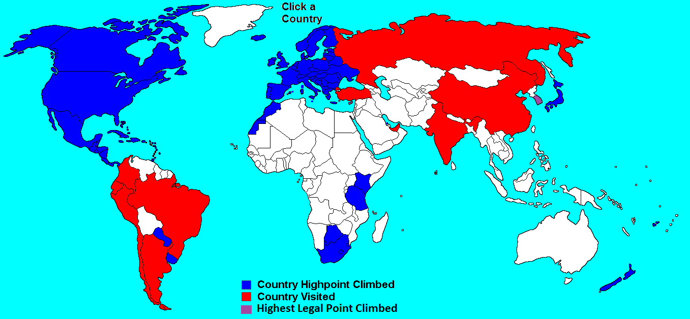
In August of 2010 Matthew and I biked up to a local maximum on the outskirts of Vaalserberg, Netherlands, snapped a few pictures, and patted ourselves on the back for ticking off another country highpoint. We thought we were done with the Netherlands, and could devote our future time to climbing bigger mountains. However a few months later back in the US I stumbled across a Wikipedia article claiming Mt Scenery on the Caribbean island of Saba (pronounced say-buh) was in fact the tallest point in the Netherlands, at nearly twice the elevation of the Vaalserberg hill.
I was certain we’d done our research thoroughly before our trip to Europe and we were certain Vaalserberg was the true highpoint of the Netherlands. Deeper down in the Wikipedia article I learned that on October 10, 2010, the dissolution of the Netherlands Antilles changed the status of Saba island to be officially part of the Netherlands proper. Thus, we had indeed climbed the correct Netherlands highpoint in August 2010, but that was no longer official. We’d have to make a trip to the Caribbean to check the Netherlands back off our country highpoint list.
The opportunity came in late 2012 when we were already planning to climb some other country highpoints in the Caribbean. Matthew needed to spend a few more days in the States while I headed down early December 28 on a free American Airlines flight compliments of signing up for a credit card. The only catch with a free flight is you have to endure a few inconvenient connections. I wanted to get from Louisville, Kentucky to the island of St Martin, and somehow ended up with a 12-hour night layover in New York City. I squeezed in a couple hours of sleep in the airport before boarding my flight Saturday morning, and arrived on St Martin at noon.
From St Martin Winnair runs a few short 12-minute flights a day to Saba, depending on demand. Saba is actually a very small island. By area it’s smaller than the city of Cambridge, Massachusetts, and it only has one major road, aptly named “The Road.” It is also extremely rugged, with only one small parcel of land on the northern coast even flat enough to land a plane on. The runway is actually the shortest commercial runway in the world at 400m long – not much longer than that of an aircraft carrier - and some people argue it’s one of the most dangerous because there are cliffs on each end dropping into the ocean.
At 4:45pm I boarded the small 15-passenger Twin Otter plane with my little backpack containing all my belongings. Eight other passengers joined me, most planning to go scuba diving off the island’s coast. A few passengers were veterans, having traveled to Saba each of the past 15 years to go diving.
“Don’t worry, the pilots usually make the landing,” they joked.
The propellers started spinning and we left St Martin heading south. After only 10 minutes or so we started descending toward Saba. Cliffs flanked the entire visible coastline except for one piece of land that looked like a solidified lava flow from the last eruption of Mt Scenery (some 400 years ago). The pilots flew straight for the cliffs, and then banked a hard left toward Juancho Yrausquin Airport. The second we touched down the pilots decelerated hard, trying not to roll over the cliff on the opposite end. We slowed to a stop about ¾ the way down the runway, then turned around and pulled up to the terminal building.
The tiny one-room airport bustled to life as nine new tourists lined up at the customs booth. When it came my turn the customs agent asked, “where are you staying in Saba?”
If I had been 100% truthful my response would have been, “I’m going to sneak into the woods where no policemen can find me and sleep right there.” However, this probably wouldn’t have gotten me an entry stamp on my passport, or the rights to stay on the Island.
“I’m staying at the Eco Lodge Hotel in Windward side,” I told him, trying to keep a straight face.
“Ok, welcome to Saba!” he said, stamping my passport and waiving me through.
I snapped a few pictures of the airport and quickly started walking up the first road I saw, which was also the only road I saw and must have been “The Road.” It was still light out and the top of Mt Scenery looked tantalizingly close and surprisingly free from any clouds. This must have indeed been a lucky day, because every picture and satellite image I had seen in my research had the summit in the clouds.
I hurried up the steep switchbacks through the small village of Hell’s Gate, before cutting East across the island at the Zion church. Now, “The Road” isn’t really the only road on the island – there are small side-roads leading into the villages – but indeed it is the biggest road and was very easy to follow. Past Zion Church I spotted a sign on the side of a house advertizing some sort of food shop. I had hoped to buy some food and water at the airport, but it was too small to provide either of these amenities. Inside the little shop the owners actually only sold beverages.
“Do you have any food I could buy?” I asked.
“No. Well, we do have some rice if you want to come to our kitchen and cook it,” the woman responded. “Are you from the Netherlands? Where are you staying in Saba?” she asked.
I didn’t have time to sit around watching rice cook, so just bought some bottles of water. I had a handful of granola bars in my pack that could suffice for food.
“No I’m from the US. Is the Eco Lodge a nice place to stay? I’m planning to hike up Mt Scenery tonight, have you been there?” I asked, not wanting to lie about my true intentions for sleeping location.
“Oh the Eco Lodge is no good – solar powered everything and just a bunch of hippies. No, I haven’t ever been up Mt Scenery. It’s almost dark now, you can’t hike up at night.”
“Oh ok, maybe I’ll hike up tomorrow morning then,” I replied, not wanting to draw out the conversation any longer. “Have a good night,” I said, walking out. I couldn’t fathom how someone could live their whole life on such a small island and never walk up to see the view from the mountain in the middle of the island. It would be like living in Cambridge your whole life, but never walking out to the banks of the Charles River to admire the Boston Skyline.
I continued up the road and turned off a side road I’d marked on my GPS. Ironically there was a sign at that turn pointing to “Eco Lodge,” and I was heading in that direction. I hadn’t actually looked where this Eco Lodge place was – I had just written down a name of a random hotel in Saba that I could tell the customs agent so he’d let me in. I followed that road for 10 minutes and, lo and behold, the Eco Lodge was right at the trailhead for Mt Scenery. If that customs guy had decided to follow me he would have certainly believed my story.
It was dark by this point, and I quickly hustled past the Eco Lodge and into the woods so nobody would see me. Safely out of site on the trail I turned on my headlamp and started hiking up. Amazingly the trail was covered in concrete and rock steps basically the entire way. I had heard there was a communications tower on the summit and that must be the reason such a nice trail existed.
After 40 minutes of steep hiking I reached the communications tower and the apparent summit of Mt Scenery. There were no markers or views, just jungle. I bushwacked around to find the highest spot and snapped a few victory pictures. But something didn’t feel right. Why would there be no marker or cairn at all?
I walked back to the cell tower and spied a big dark object through the trees to the northeast. There was a rough muddy path leading that way, so I headed into the woods. The path started climbing, until it hit some small cliffs with a rope hanging down. I scrambled up to the top and found myself, truly, on the summit of Mt Scenery. A cylindrical concrete block sat on the top of the rock, and I had a panoramic view around the island that confirmed nothing was taller. Luckily the skies were clear, otherwise it would have been hard to tell which was the true summit.
I saw the lights of Saint Martin in the distance to the north, and some faint lights way off the east that must have been on Saint Eustasius. I hung out for half an hour admiring the view, then went back into the jungle to find a place to sleep. I cleared out a few branches, laid out my tarp and liner on the ground, and promptly went to sleep at 8pm. It was actually pretty chilly at close to 3,000ft above sea level, despite being in the Caribbean.
Nevertheless, I got a solid nine hours of sleep or so, and was up at 5:30am ready to move. I walked carefully down the slippery trail, arriving at the trailhead just at dawn. I snapped some pictures of the trailhead sign and kept moving, still leery that someone from the Eco Lodge might see me and start asking questions.
I made it back to the airport at 7am – hoping to get on the earlier 8:30am flight instead of the 10:30am one I was booked on – but there were only two security guards sitting there killing time.
“Excuse me – do you know when the next flight is?” I asked.
“I don’t know mon, probably 9 or 10 or something,” they replied.
That wasn’t very helpful. I sat around until 8:30am and still didn’t see any other people. The early flight must have just been canceled. While I was waiting I saw two guys drive down to the field next to the airport in a truck, and one guy got out with a rifle in hand. There were about 20 wild goats roaming around the field, and the man simply walked up to a boulder, steadied his rifle, and shot one of the goats.
All the goats scrambled after the shot, but he followed after, taking down another two before he was satisfied. The other guy then walked out and loaded the goats into the truck, and they drove away. I’m not sure who owned those goats, or whether what they did was legal, but it was sure entertaining to watch.
Eventually at 9:30am other people started arriving at the airport, one of whom was the man in charge of check-ins. I successfully checked in and boarded my flight at 10:30am.
Taking off from the runway seemed almost riskier than landing there. The pilots drove the plane out as close to the end of the runway as they dared and then pulled a U-turn to face the opposite direction. I could see the right wheel out my window and it came within a few feet of the edge of the 100-ft cliff on the end of the runway. The main pilot then flipped a few switches, audibly took a deep breath, and said “Ok, let’s go”
He turned the plane up to full throttle and we barreled down the runway, getting airborne just before reaching the cliff on the other side.
Fifteen minutes later we were safely back on the ground in Saint Martin and I could begin the next leg of my journey – climbing Morne Diablatins, the roof of Dominica.