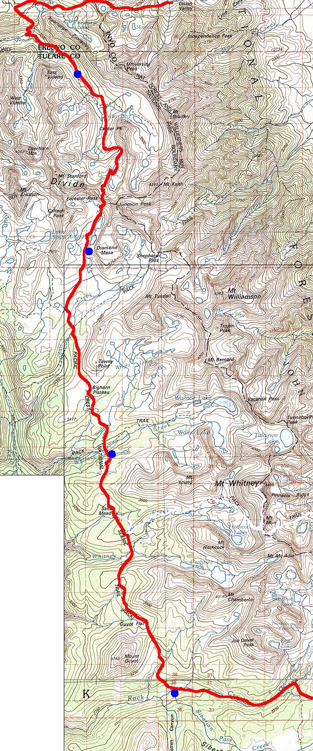
A trail map of our hike: our path is in red, our nightly campsites in blue.
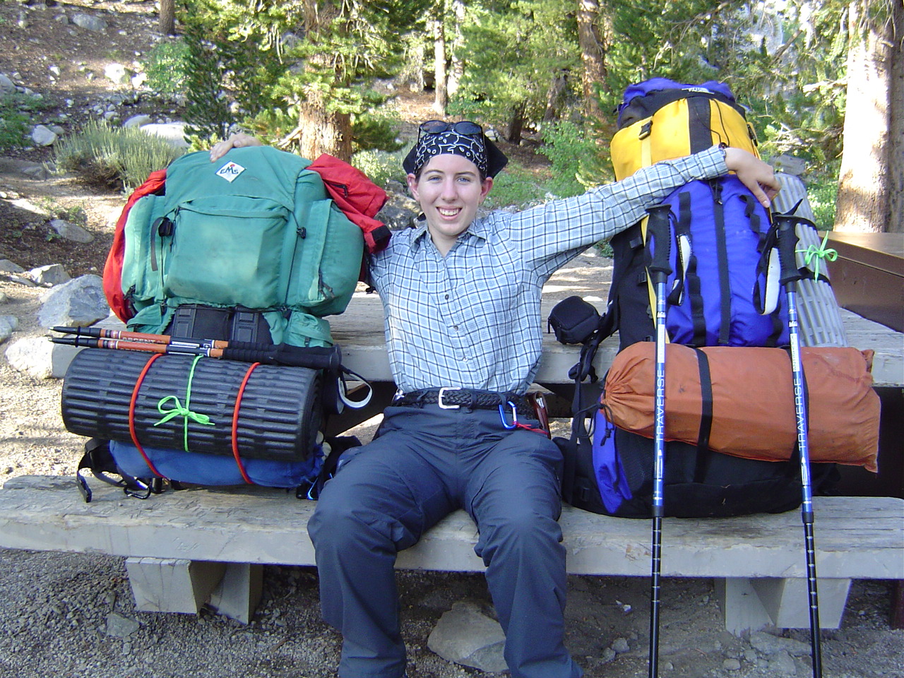
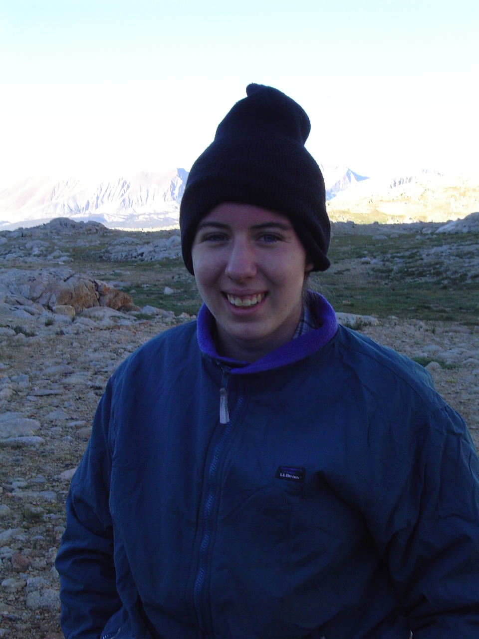
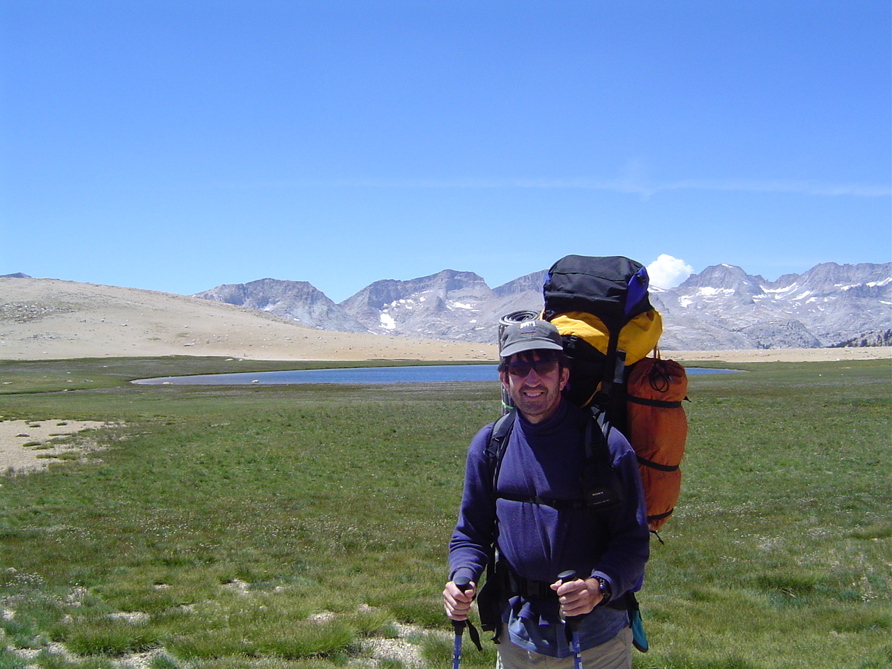
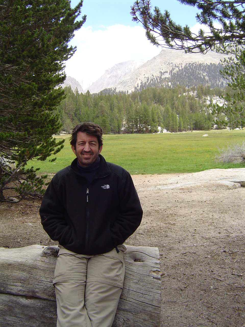
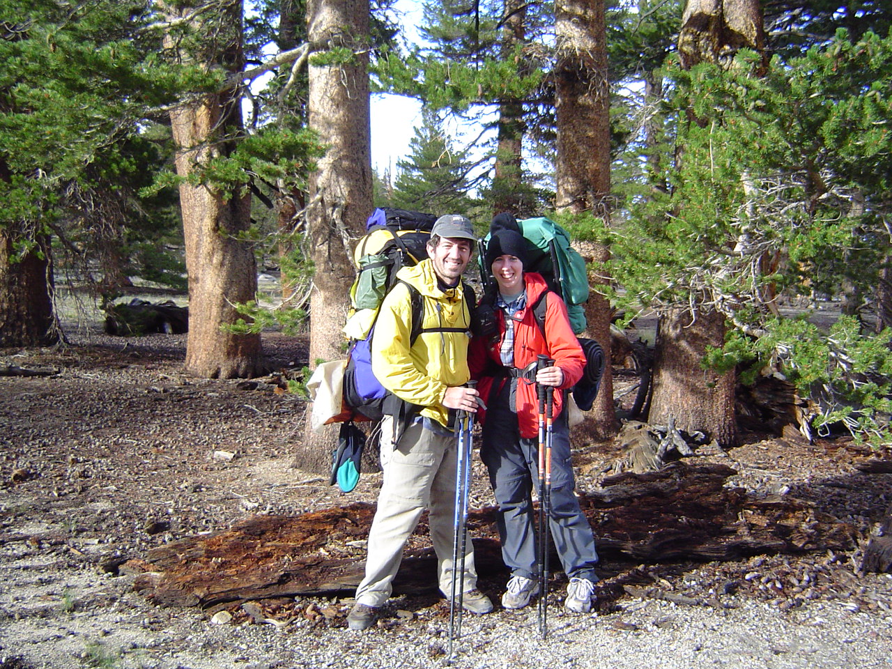
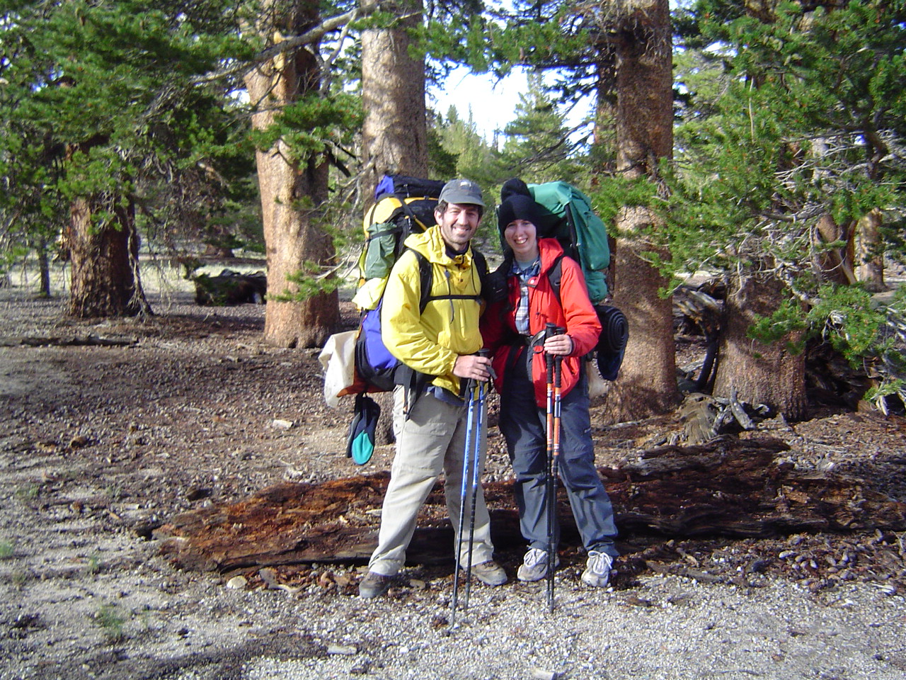
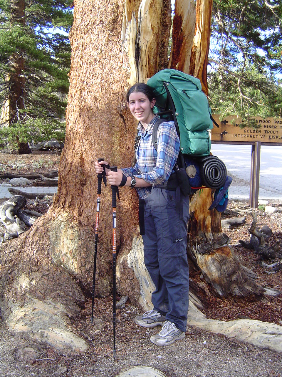
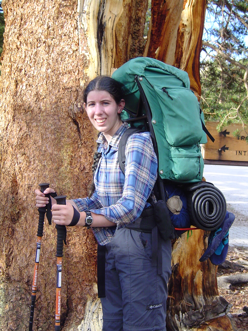
At Onion Valley, about to start out - me. I look well-rested here. We'll see how long it lasts!
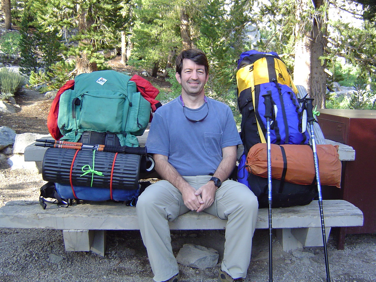
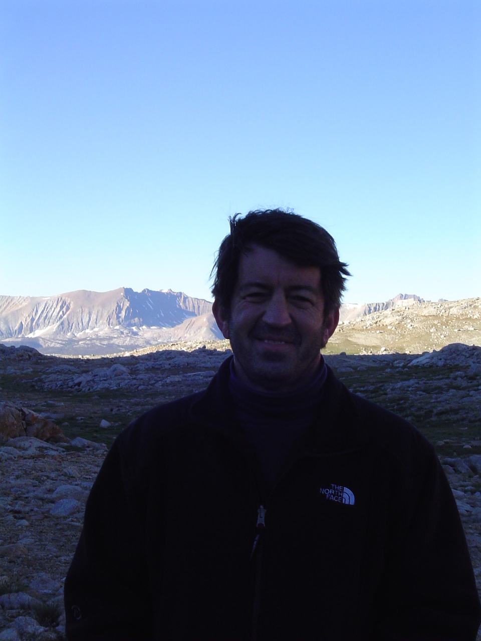
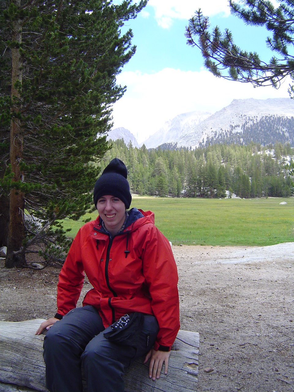
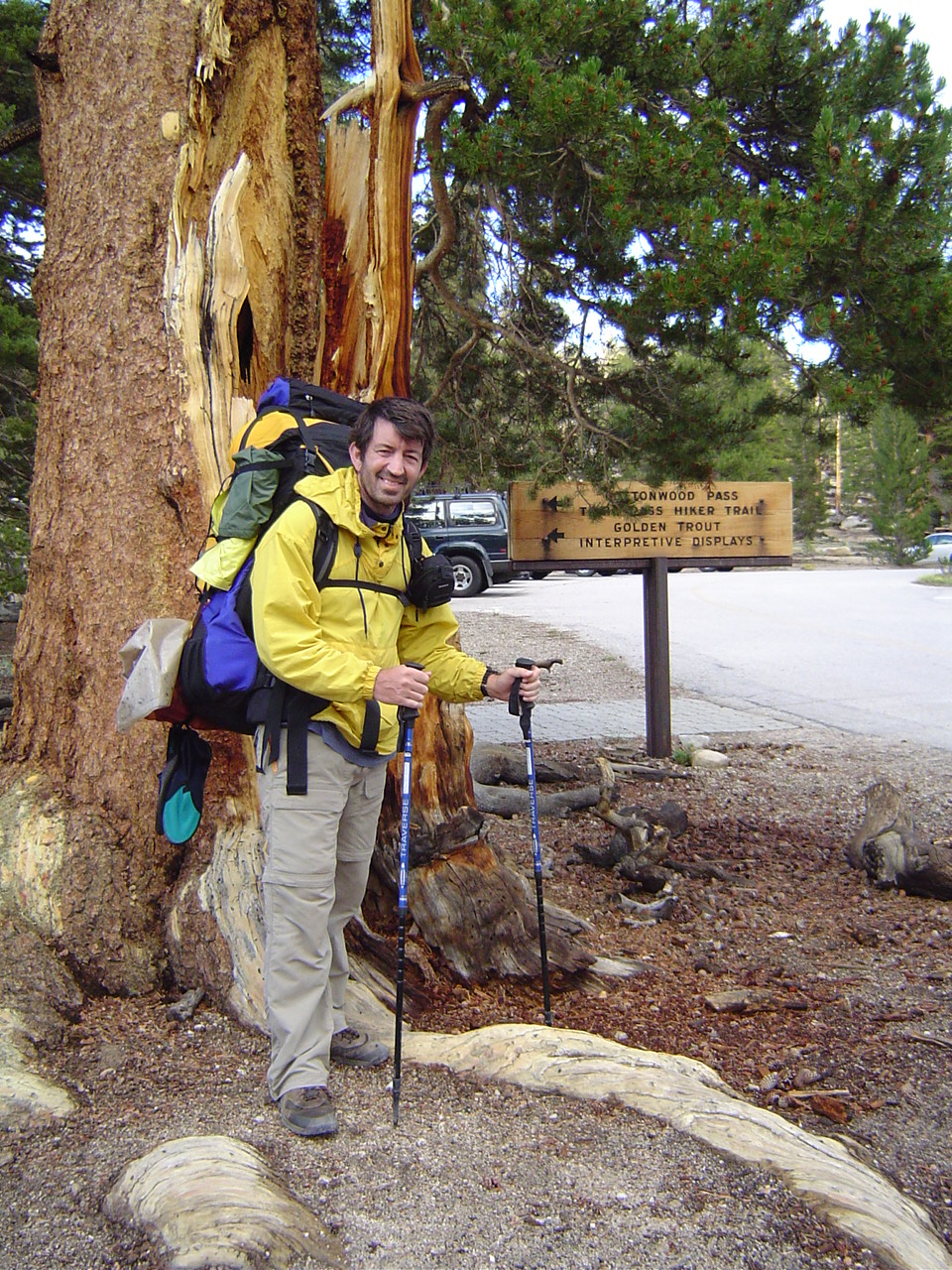
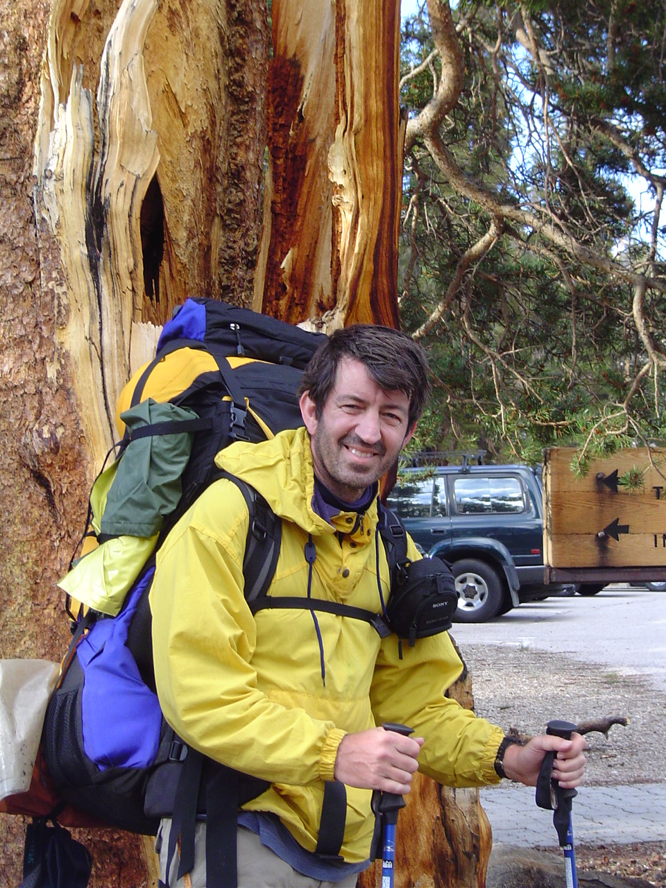
At Onion Valley, about to start out - my father. My pack is on the left, his on the right.
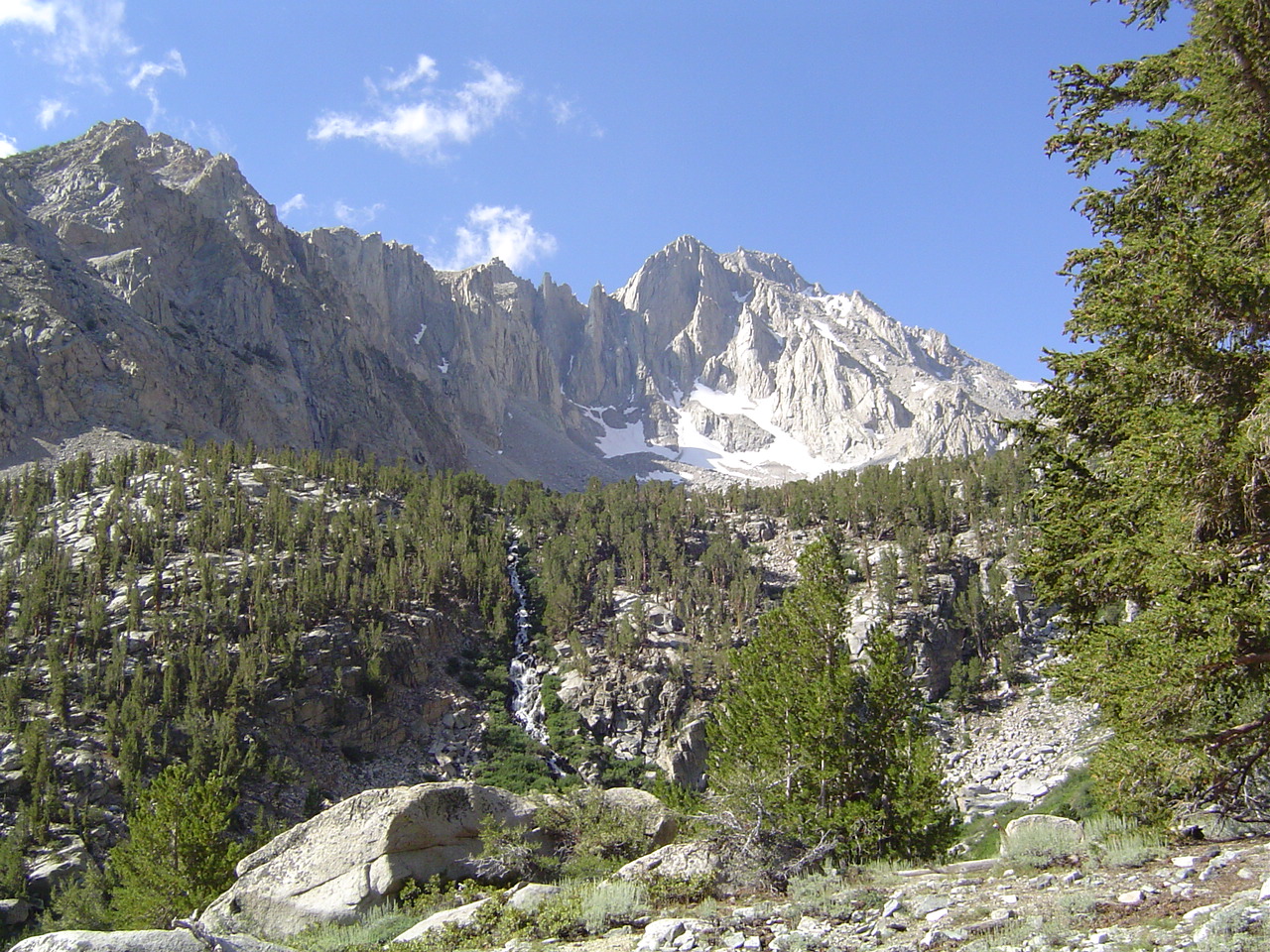
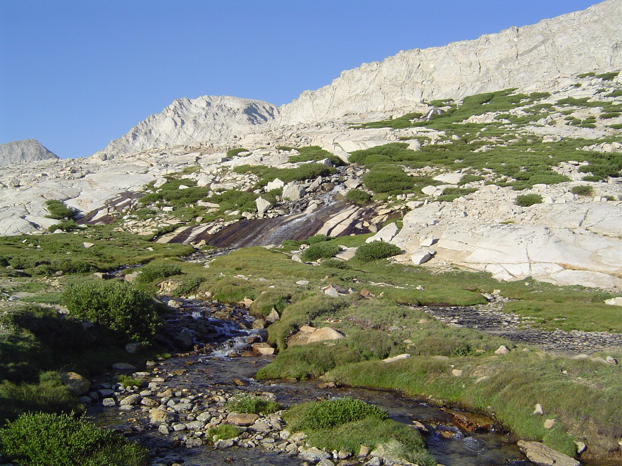
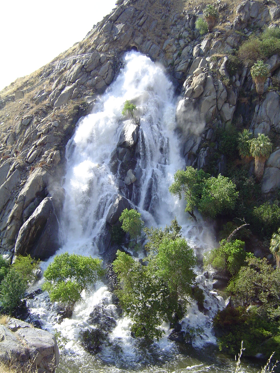
The waterfall partway up towards Kearsarge; we've just topped a small ridgelet. The hike up to Kearsarge is a lovely day hike if you don't want to cross the pass; I've done it twice before, once when I was very young.
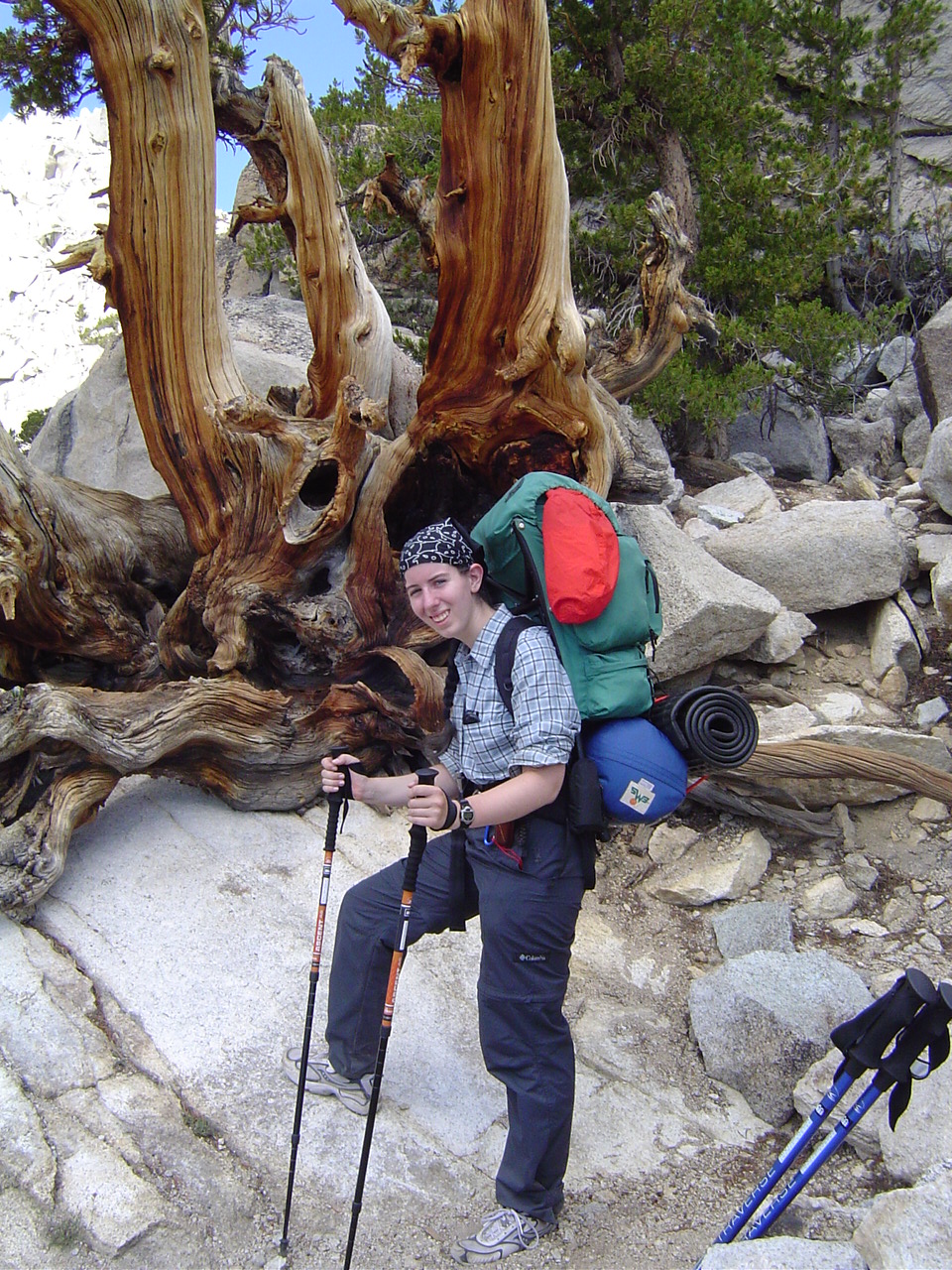
Me, having just lost a sunglass screw; the hiking poles were already helping. It was very sunny and warm, and lovely weather for hiking.
Kearsarge Pass - so close and yet so far! No more trees until later this afternoon. It started getting windy, and I started getting kind of tired here. More blood sugar needed - my first energy bar ever was consumed about 20 minutes later at the top of the pass.
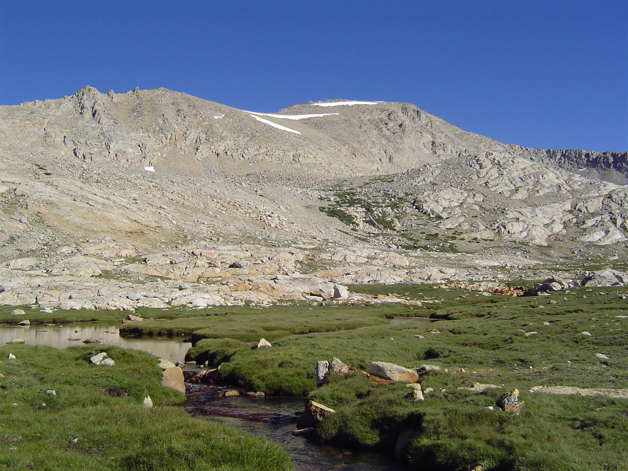
Beautiful granite formations above the lakes below Kearsarge. The last time I was here I saw a granite cave, but I couldn't find it this time.
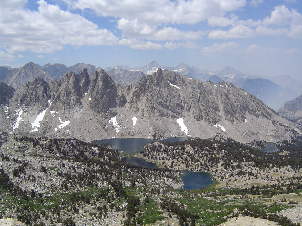
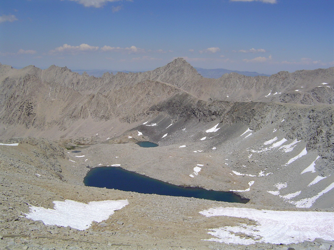
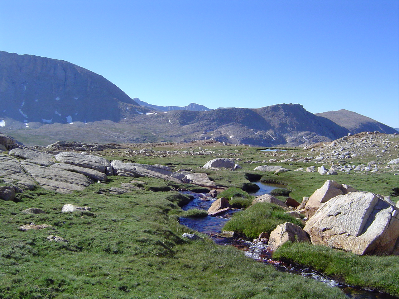
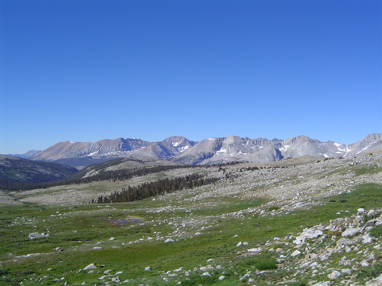
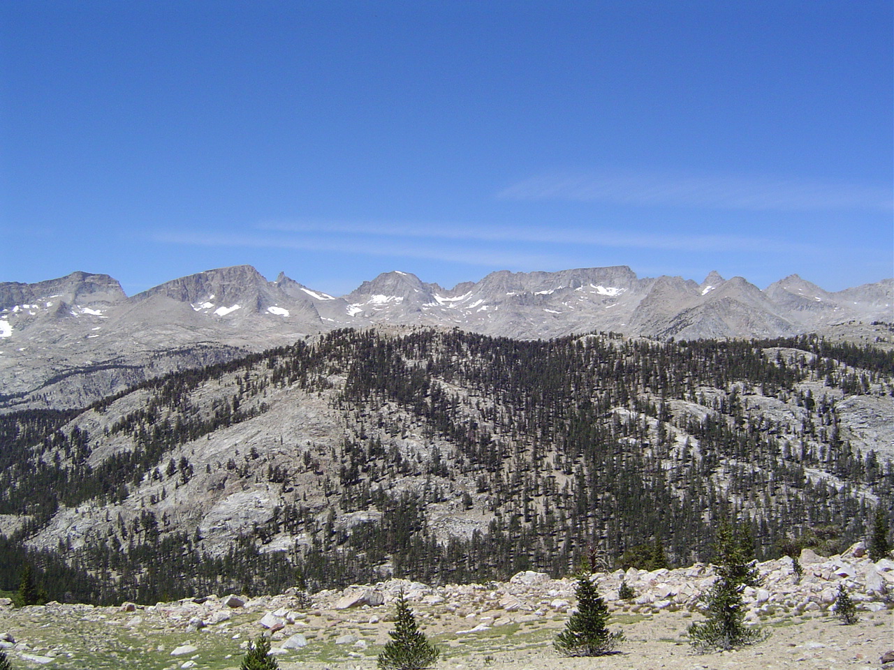
The Kearsarge Lakes - often seen, never visited until now; Kearsarge Pinnacles in the background. The lakes are lovely, and we always did wonder what would happen if we climbed down the other side of the pass and backpacked here - finally! Our great adventure begins.
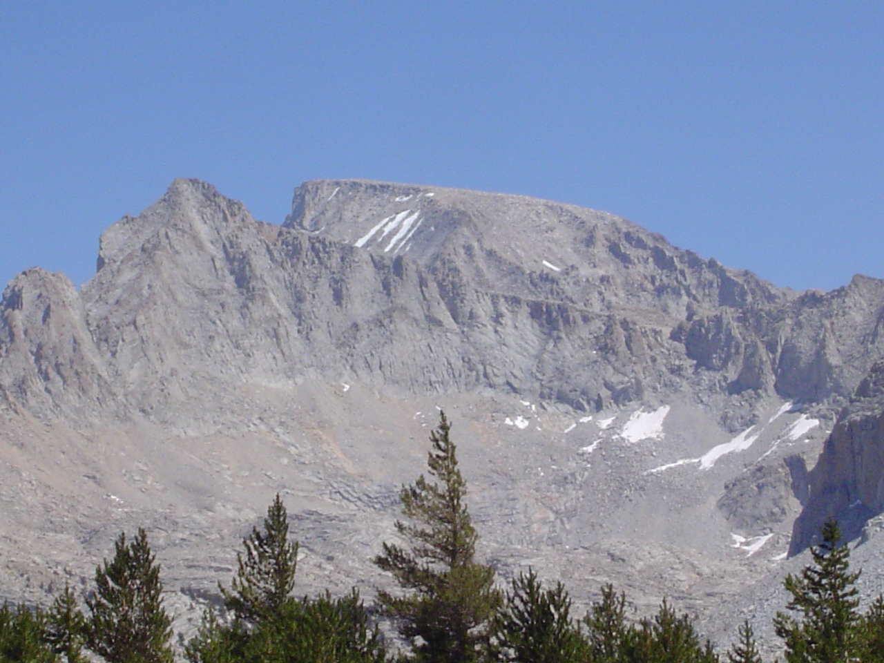
The top of Kearsarge, a major landmark and our entrance to the High Sierra. It's a popular spot for people doing the JMT or the PCT to resupply, as it's not far to Onion Valley from here.
Darn, it's bright up here - time for sunglasses. There's hardly enough room on top of the pass for everyone to sit down, but we're all buddies, right?
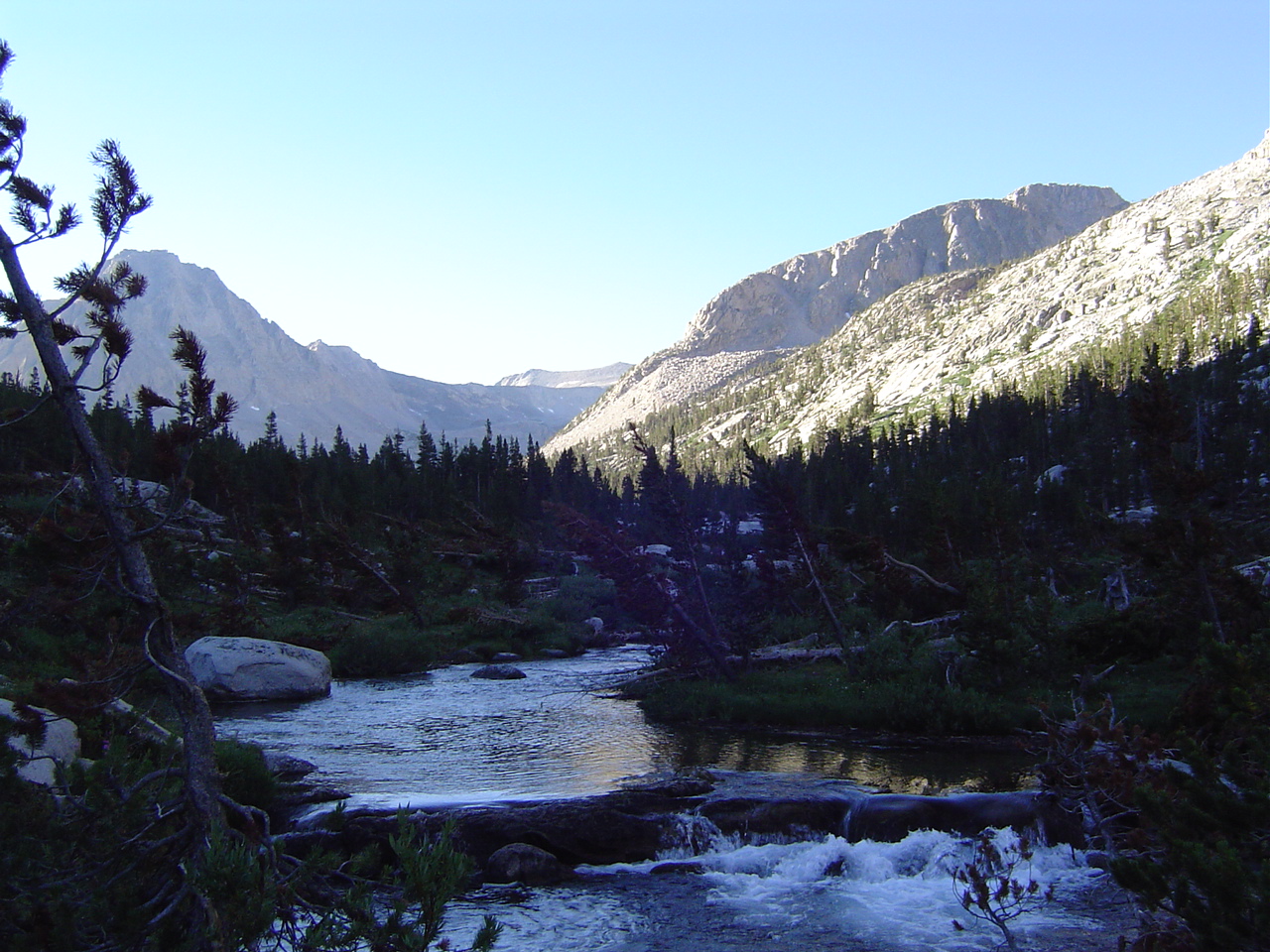
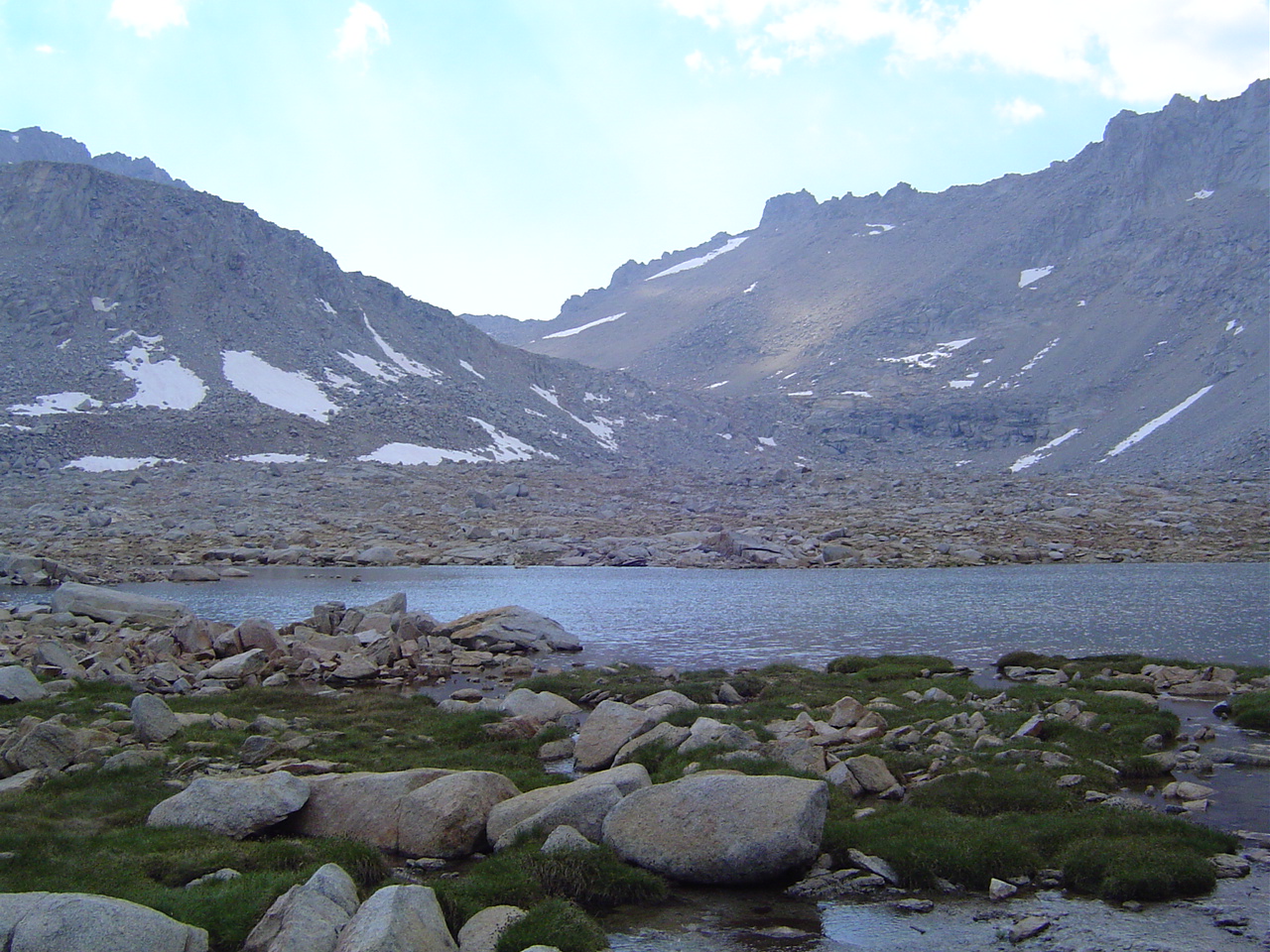
Our first view of Bubbs Creek Valley, the gateway to Forester Pass and the site of our first camp. Water and plant life were plentiful here; bears were a big concern, so we bypassed several campsites in favor of one farther away from other hikers.
East Vidette Peak (13,350 ft), upon whose knees we slept. It blocked the sunlight very effectively.
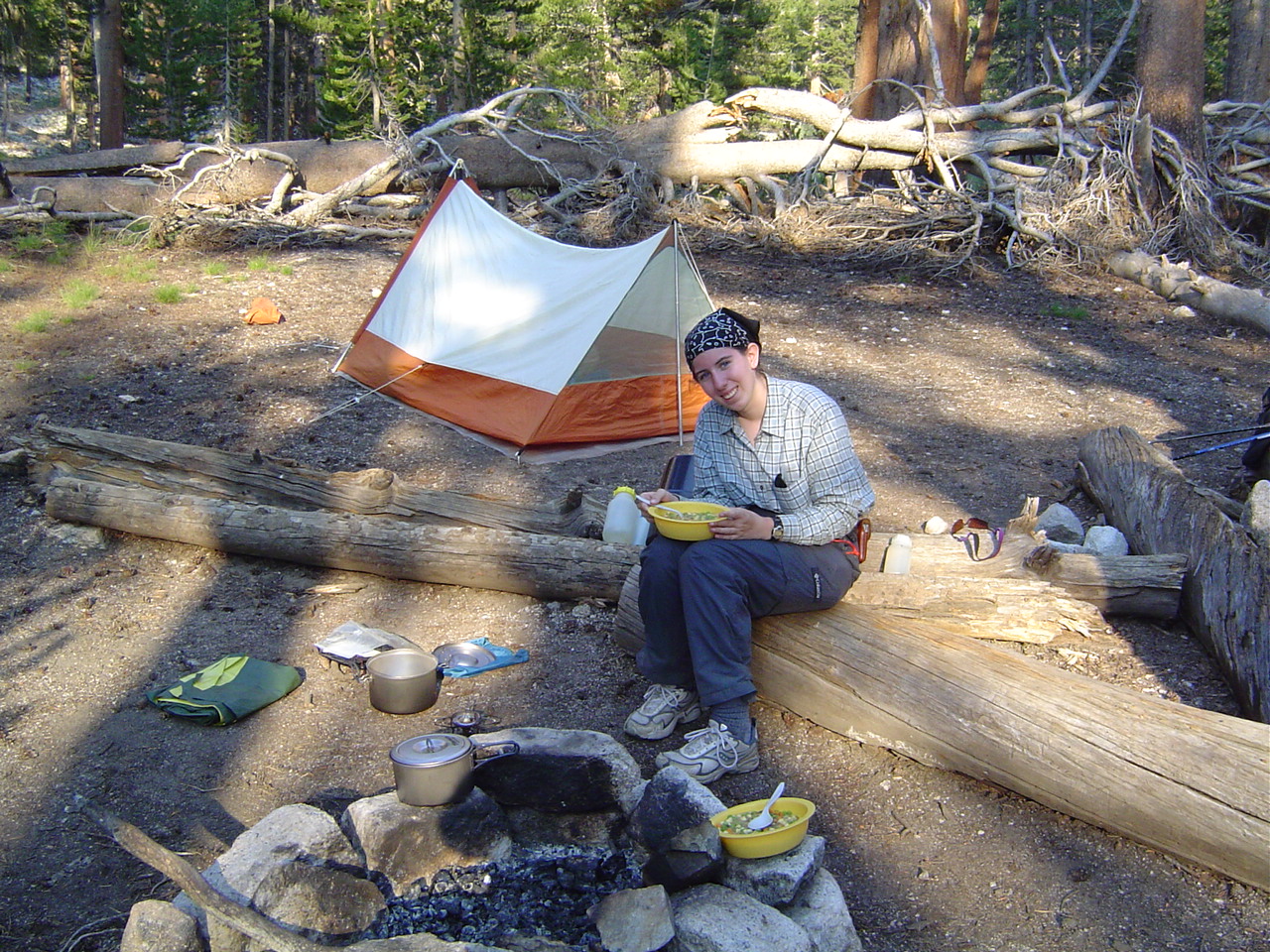
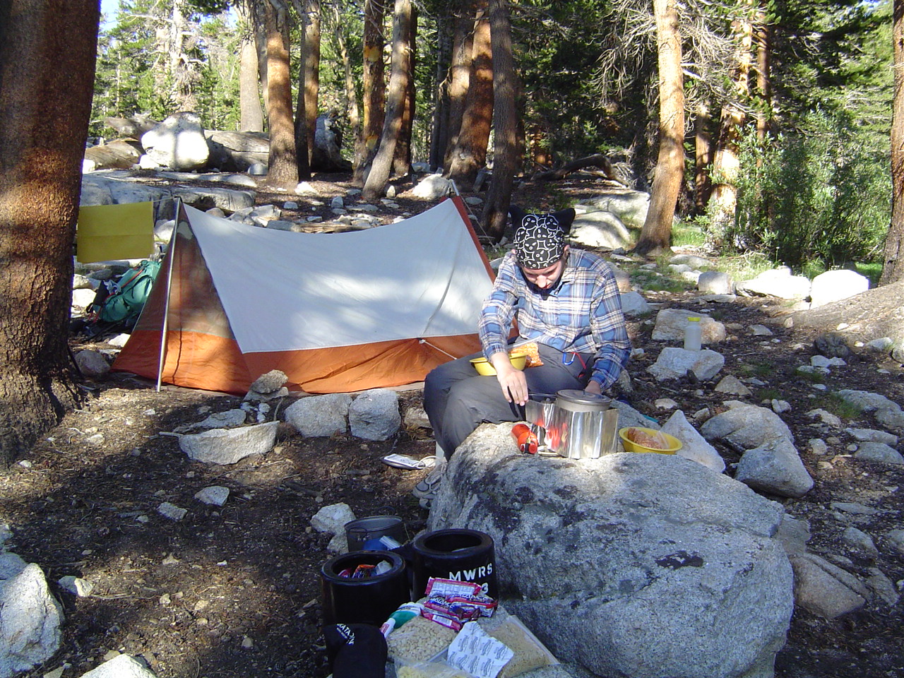
Dinner the first night - freeze-dried beef stew; tasty but not tremendously so. The stove, though, was a marvel of engineering; after this night I insisted on cooking because I liked the design so much.
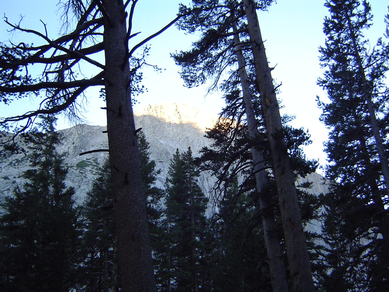
East Vidette Peak by dawn - silly lighting, but a very lovely sight; the sunlight was welcome on the start of the really big day.
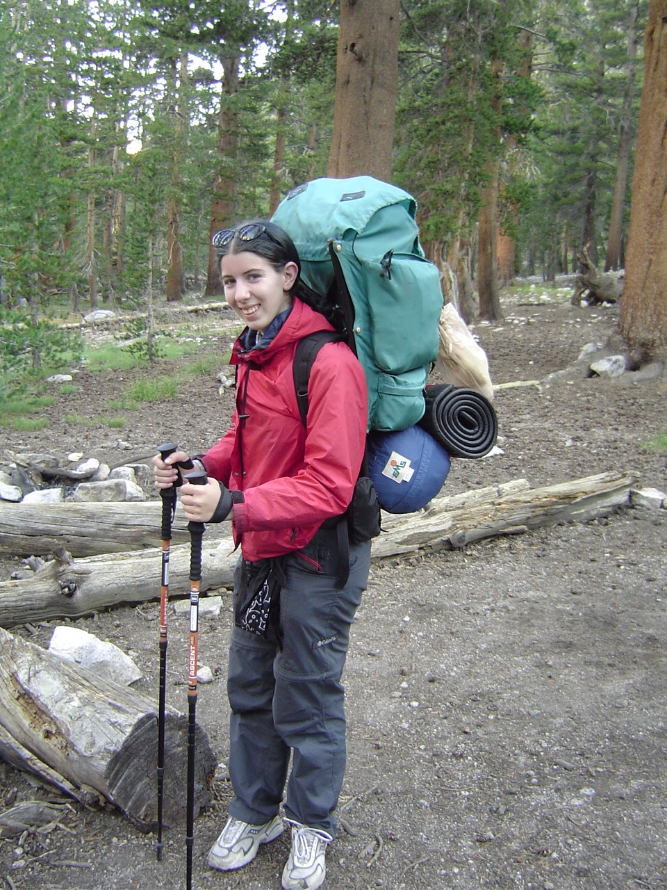
Just about to start out on the second day - I look like I'm twelve in this picture. I have no idea how this happened.
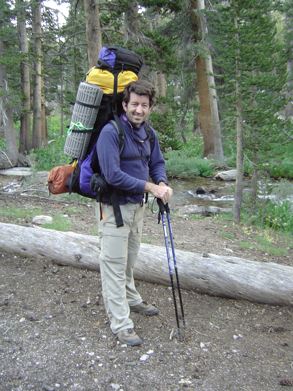
My father, meanwhile, looks super-awesome, kind of like Wolverine. I think we're both cold and still somewhat asleep; the hike will fix that.
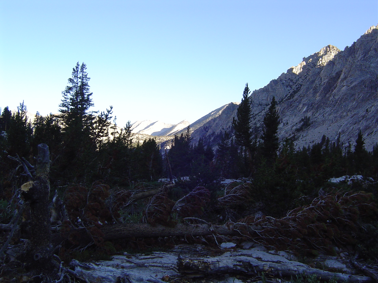
Early still, looking up Bubbs Creek towards Forester Pass. There were very few people on the trail this early in the morning.
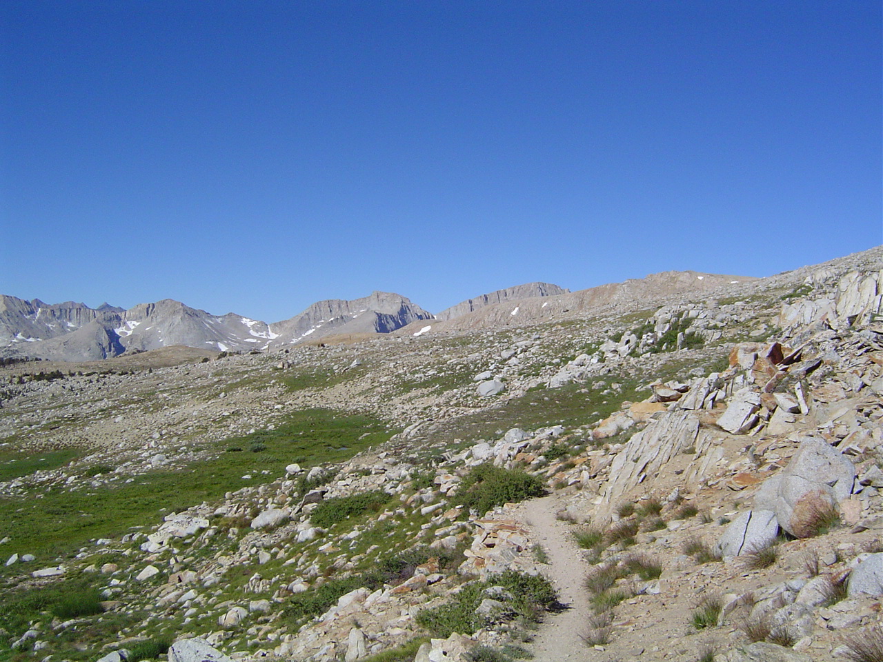
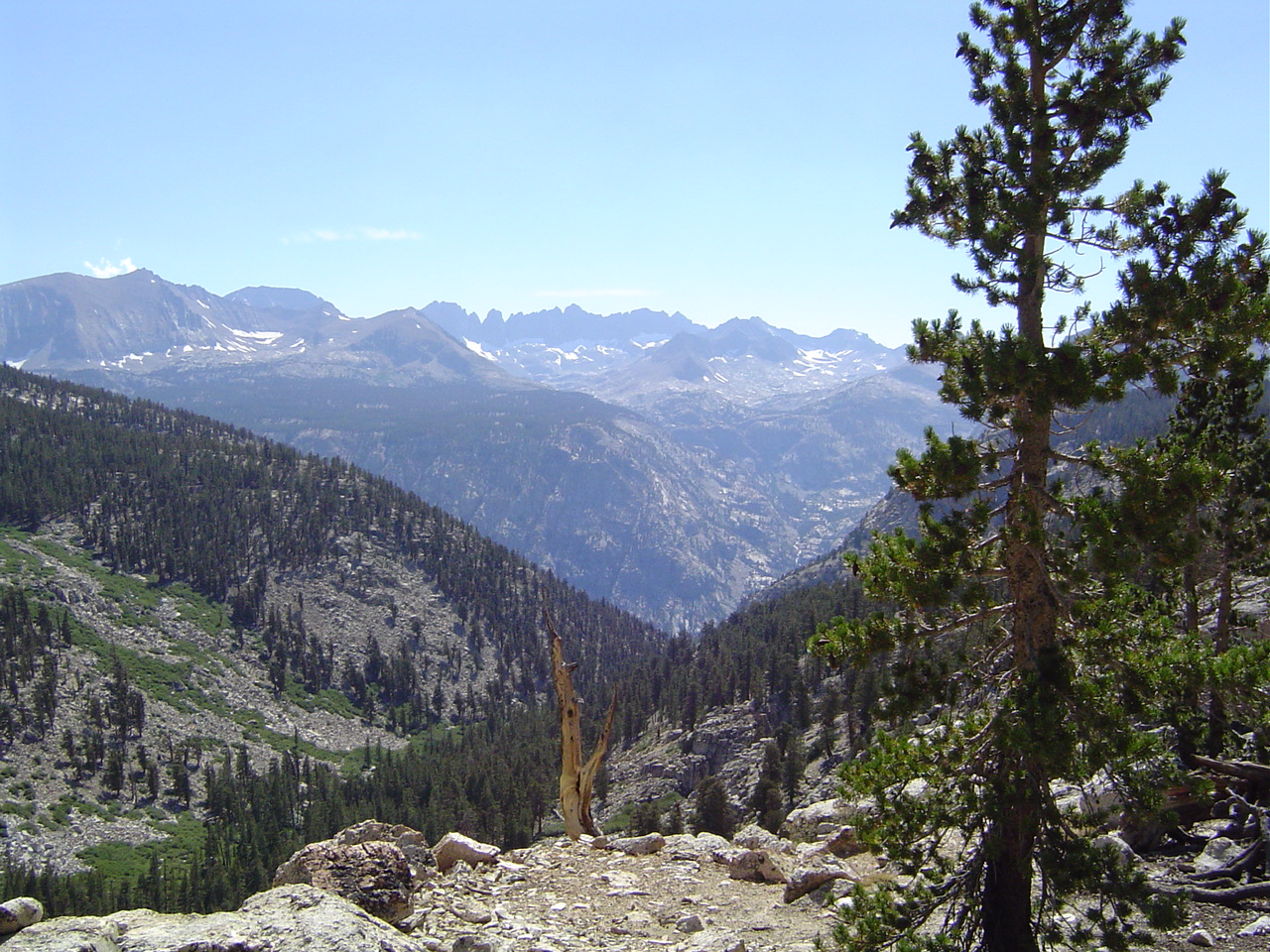
Just where is Forester, anyways - I can't see it yet. Forester was one of those elusive passes where you keep thinking you'll see it and you never know which one it is until you're actually on it.
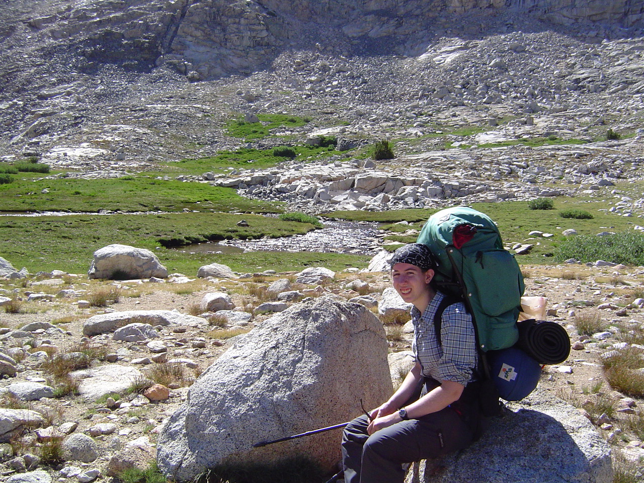
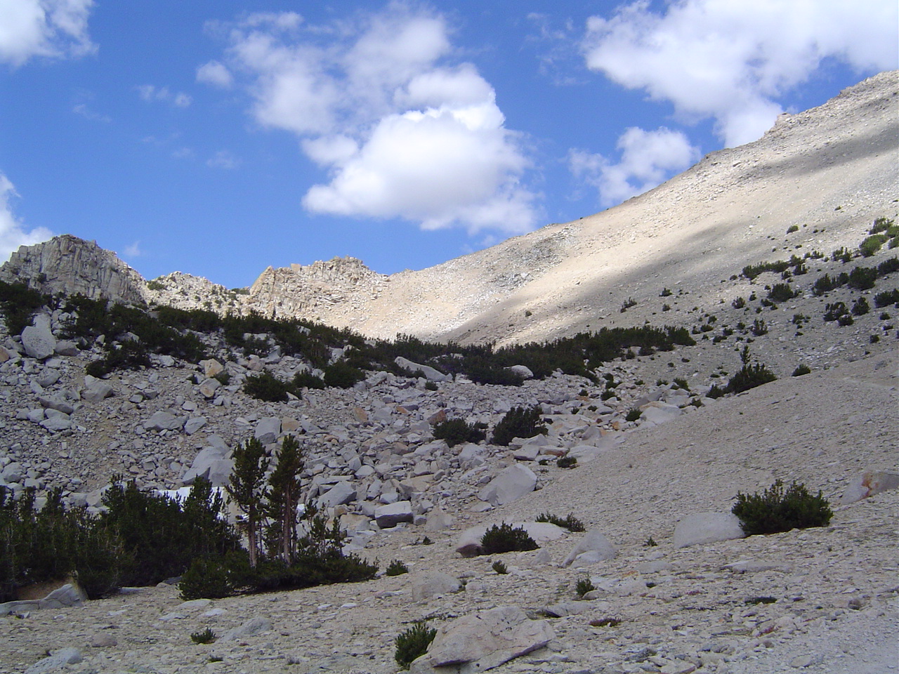
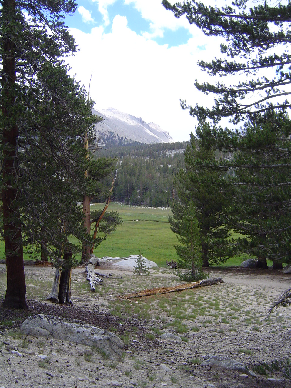
A small alpine meadow before Forester, and I'm tired already - this does not bode well. One of the more beautiful spots on the trip, in my opinion.
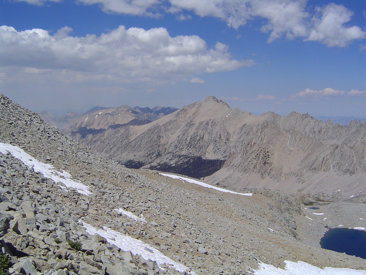
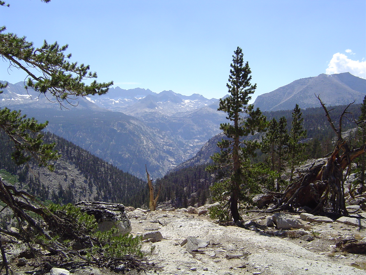
I am rewarded by the views northwards the way we've come - Forester is a great vantage point, that's for sure. Look at the right for the trail.
That's an awfully big dropoff past that cliff - now I see why the trail did what it did, even if it meant crossing some vaguely scary snowfields.
About a 1000 foot dropoff on the south side of Forester - I didn't see the trail down immediately and thought it was all Anasazi steps and was very scared. Did I mention I'm afraid of heights?
I wonder who lugged this cow/deer/elk pelvis up here? It must have been very heavy. For that matter, who built these trails? Wow.
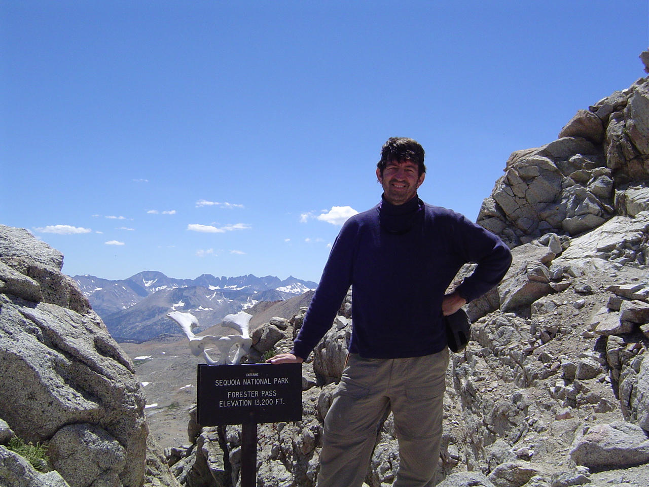
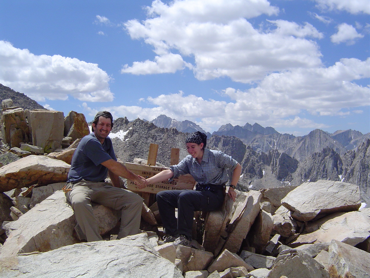
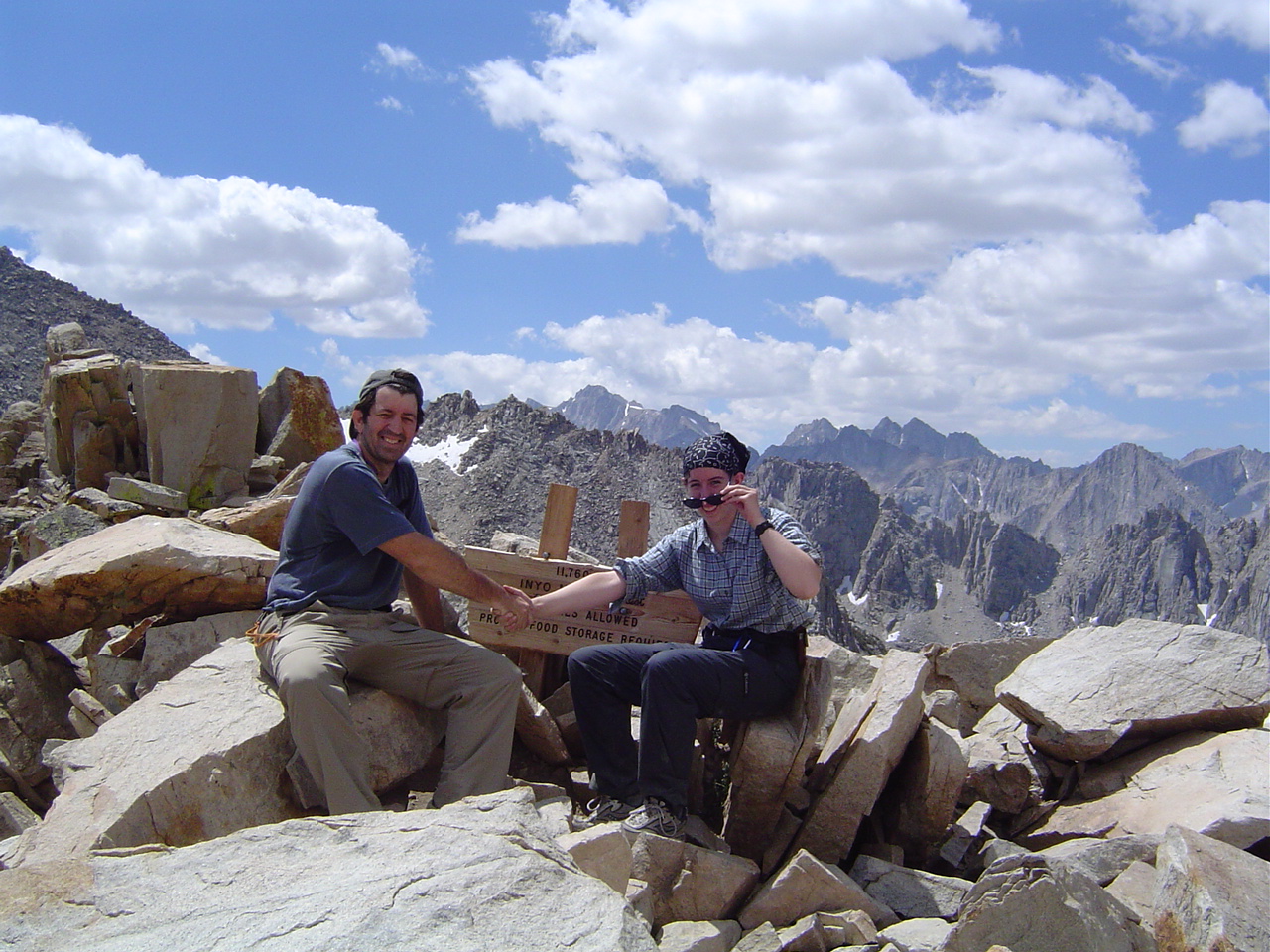
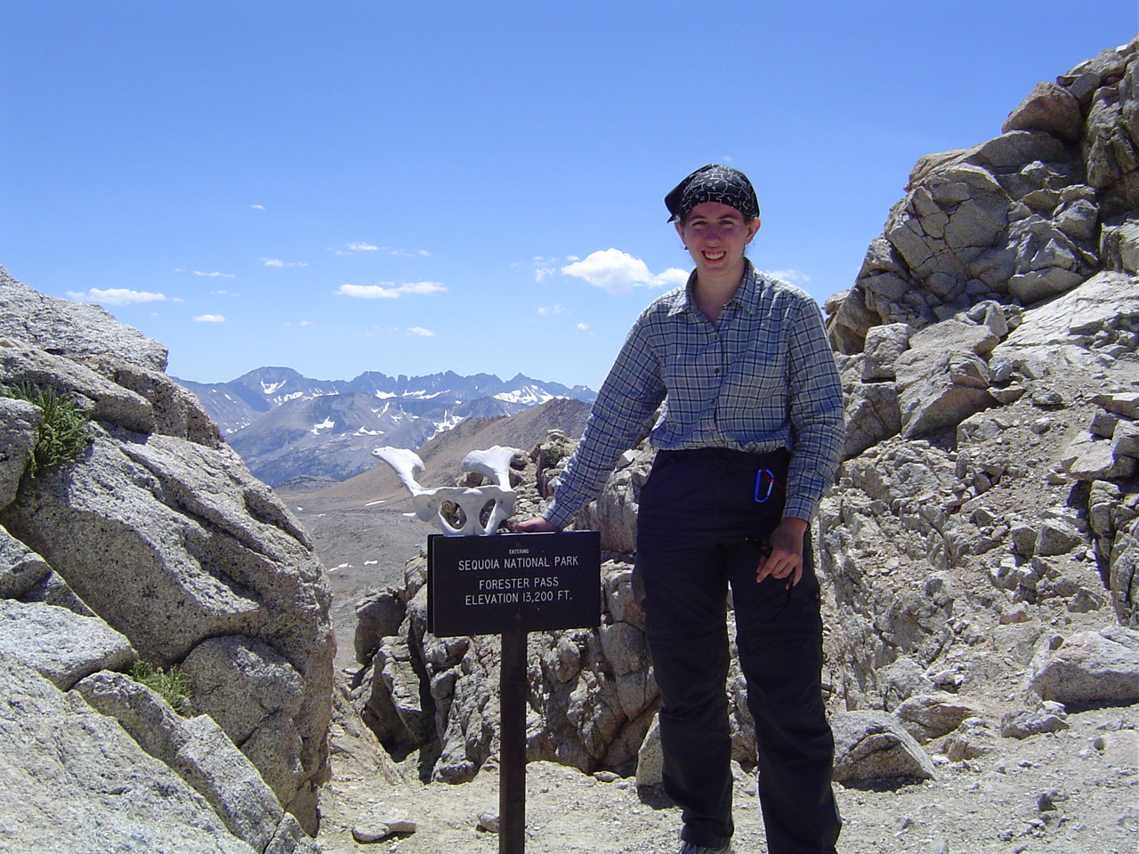
I'd be happy to be up here too - the hardest part is over now. This is the highest pass on the Pacific Crest Trail, and is well-known for being very strenuous from either side.
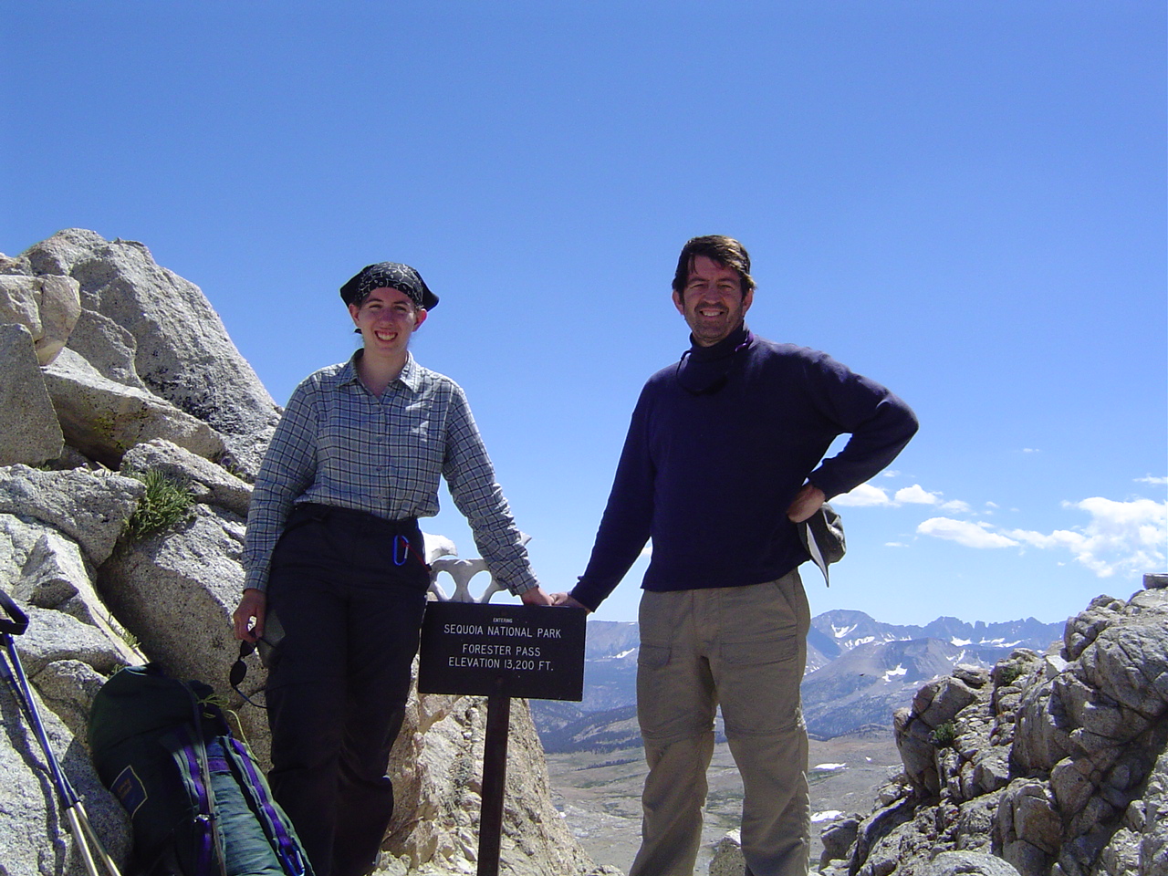
The obligatory father-daughter accomplishment picture, taken by fellow hikers. We traded taking each others' picture.
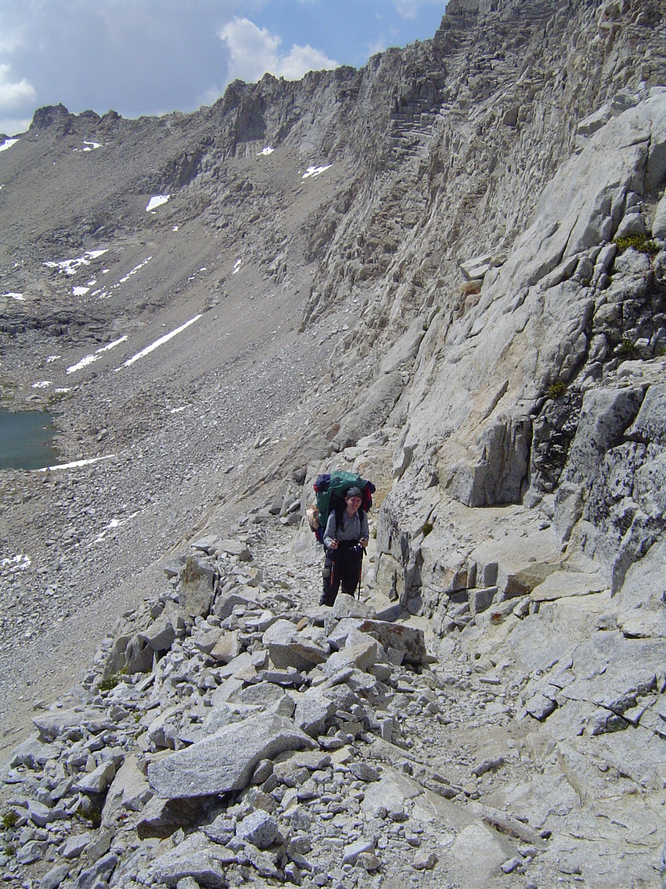
The trail down was literally blasted out of raw granite cliffs, and was very steep and scary for us acrophobic folk. Walking on a 2-3 foot wide trail about a 1000 foot dropoff is enough to give anyone nightmares.
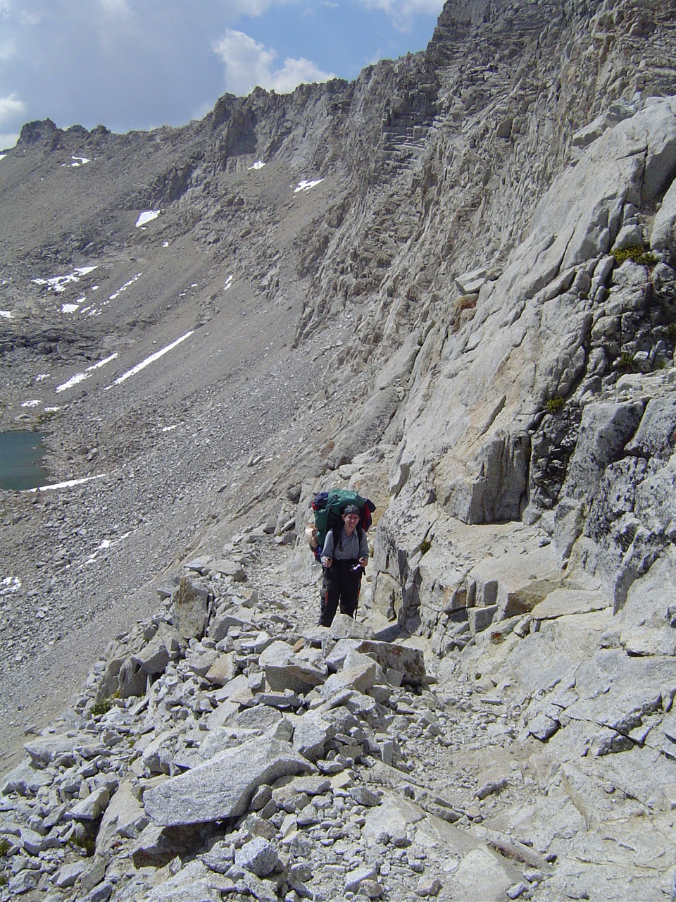
I really didn't want to stop for this picture - sore-ish knees and fear of heights combined...
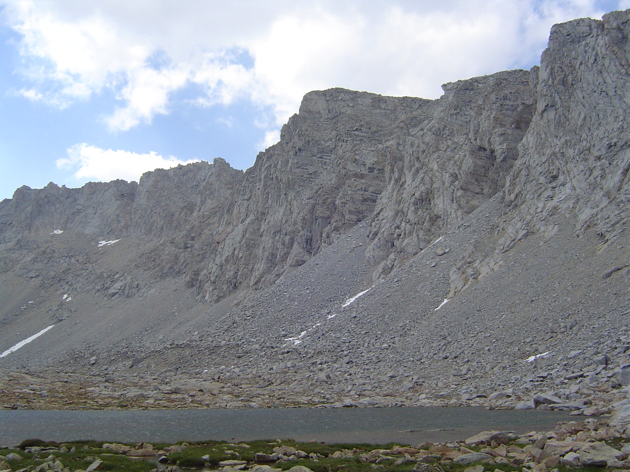
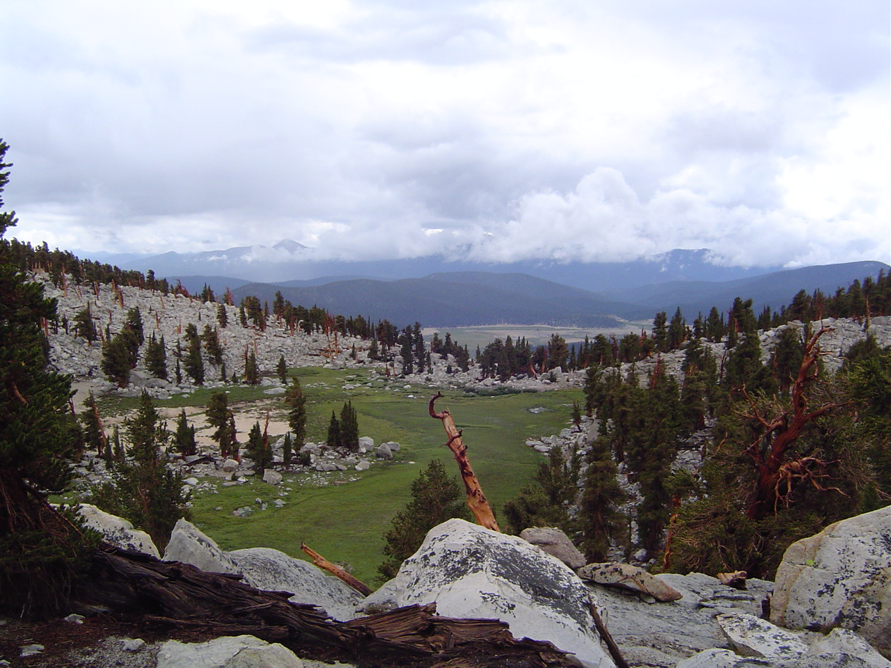
... but wow, the view at the bottom is beautiful - clear alpine lakes and low grasses and yellow granite. This was my favorite part of the trip, this evening and tomorrow morning. I still dream about it, and wish I were there about once a week.
Being in a natural basin, the light dies much earlier, but there was still plenty enough to make camp and enjoy the evening by not moving very much.
You know you're in the backcountry when the trail is flooded and you only laugh and seek alternate routes
That's the top of the pass - it doesn't look possible from this angle, since you can't see the blasted-into-cliff trail.
Me eating freeze-dried lasagna - one of the best meals of my life after Forester. The melted cheese was fabulous. I wasn't sure about this freeze-dried food thing before, but now I think it's great. Plus it weighs literally next to nothing.
The waterfall off Diamond Mesa cloes to our camp - the water was clean and extremely cold. I'd been planning on taking a sponge bath here, but it was just too cold for me, so I trailed my fingers in the water instead.
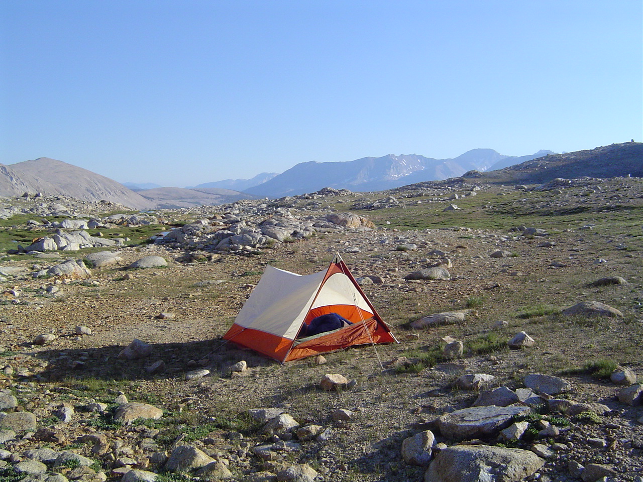
Our little tent looks very lonely out here in the high country. We haven't seen anyone since the top of the pass, and we won't encounter other hikers until about 1000 the next morning.
A very cold morning here at 12,000 feet above sea level, but the sunlight is very welcome - if it ever actually descends into the basin, that is!
I look ridiculous in this hat, but it's very warm. Now where is that sunlight I was asking for earlier?
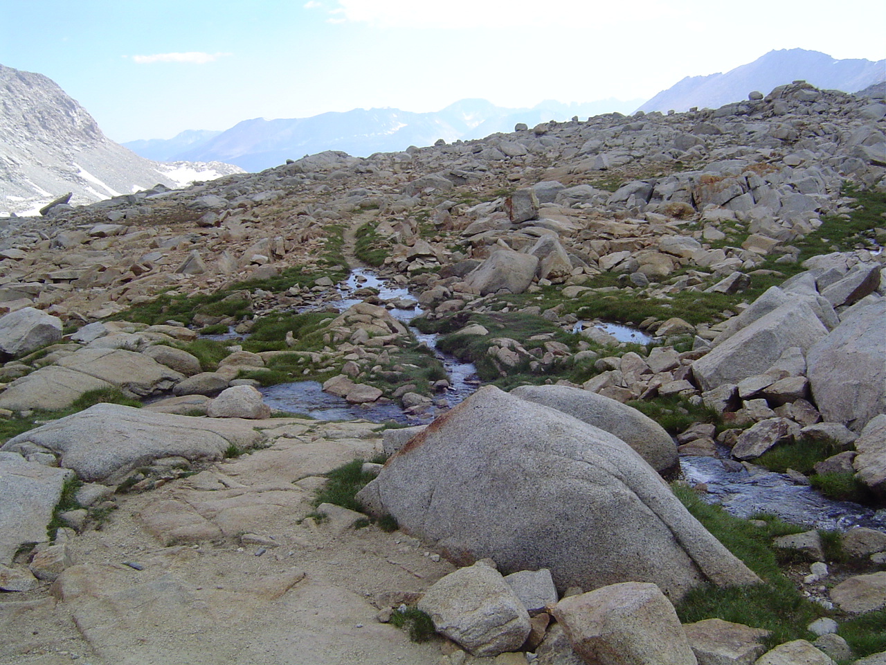
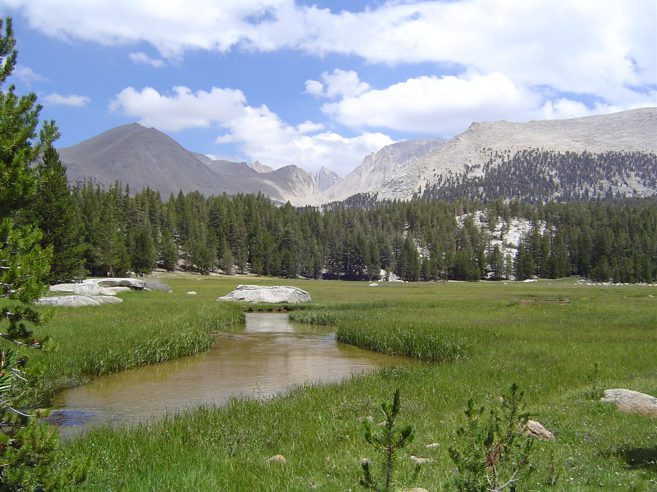
The stream near our camp, which is actually the headwaters of Tyndall Creek, which is the headwaters of the Kern River. From this acorn may grow a mighty oak?
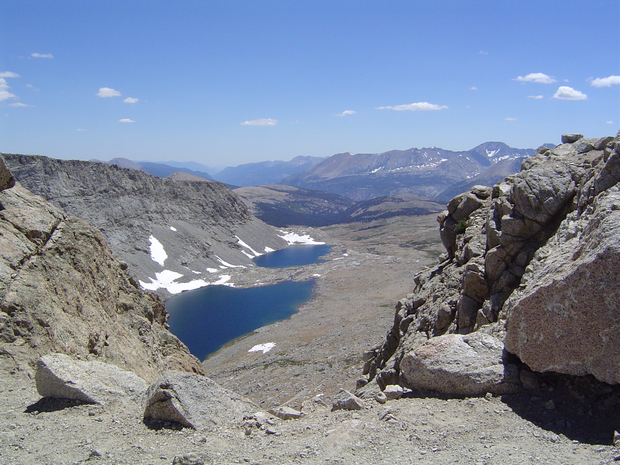
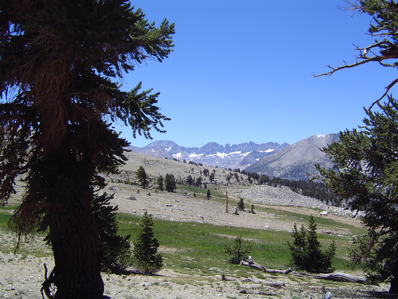
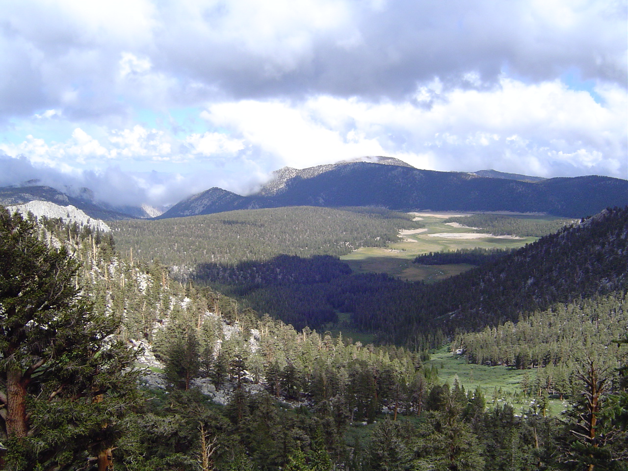
Diamond Mesa and Tyndall Creek and not another human being in sight - hooray!
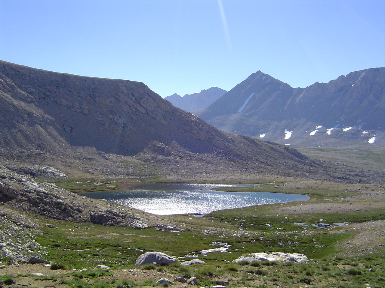
Our first sight of humans in 18 hours; if you look carefully there's a small tent pitched to the right of the lake.
I spy with my little eye something that is painful and begins with the letter F... looking back towards Forester
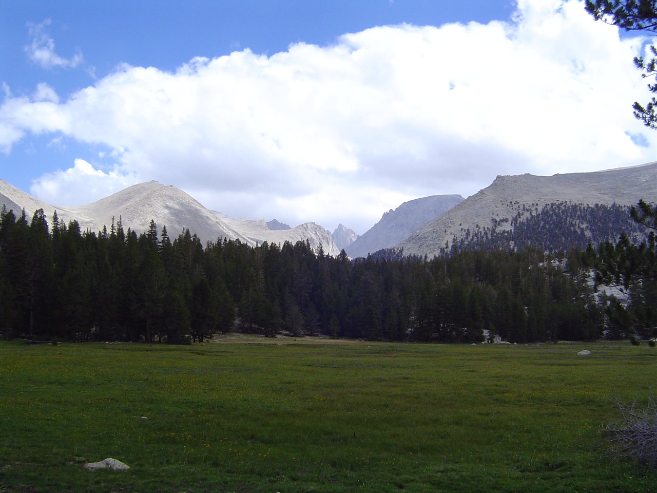
Tyndall Creek, Tawny Point, and the Great Western Divide.
More views of the Divide and the trail ahead of us. It's very lonely up here, which is very nice if you're me and wanted to get out of the city.
Again, looking back towards Forester; at this point we've begun hiking in trees for the first time in 24 hours.
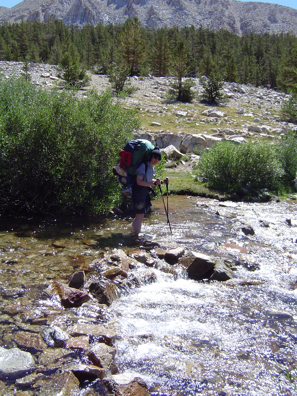
Me, fording Tyndall Creek at the trail crossing. I have water shoes on, but winter snowmelt is extremely cold regardless. Thank goodness for dry socks afterwards, and for warm sunshine.
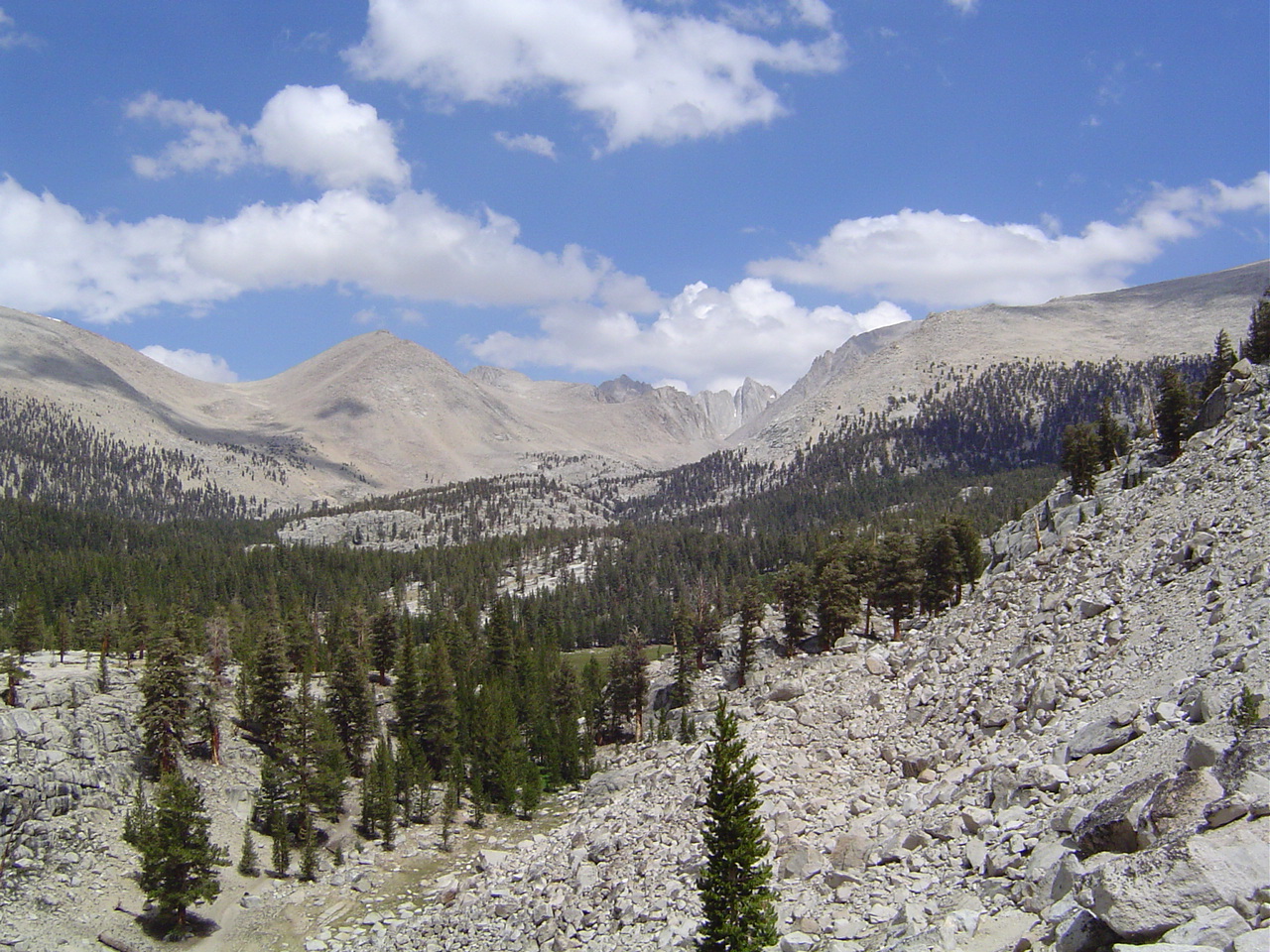
The trail out of Tyndall Creek was very steep, but the views at the top were lovely. The Divide and the beginnings of Kern Canyon were among the landmarks of the day.
Lunchtime rest spot near the top of Bighorn Plateau. There were lots of marmots here, but they were all too fast for the camera. Very cute, though.
Me, at the top of Bighorn Plateau. Very stark up here, even if this section looks somewhat like a golf course. Strange.
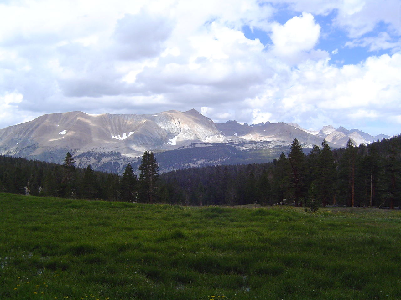
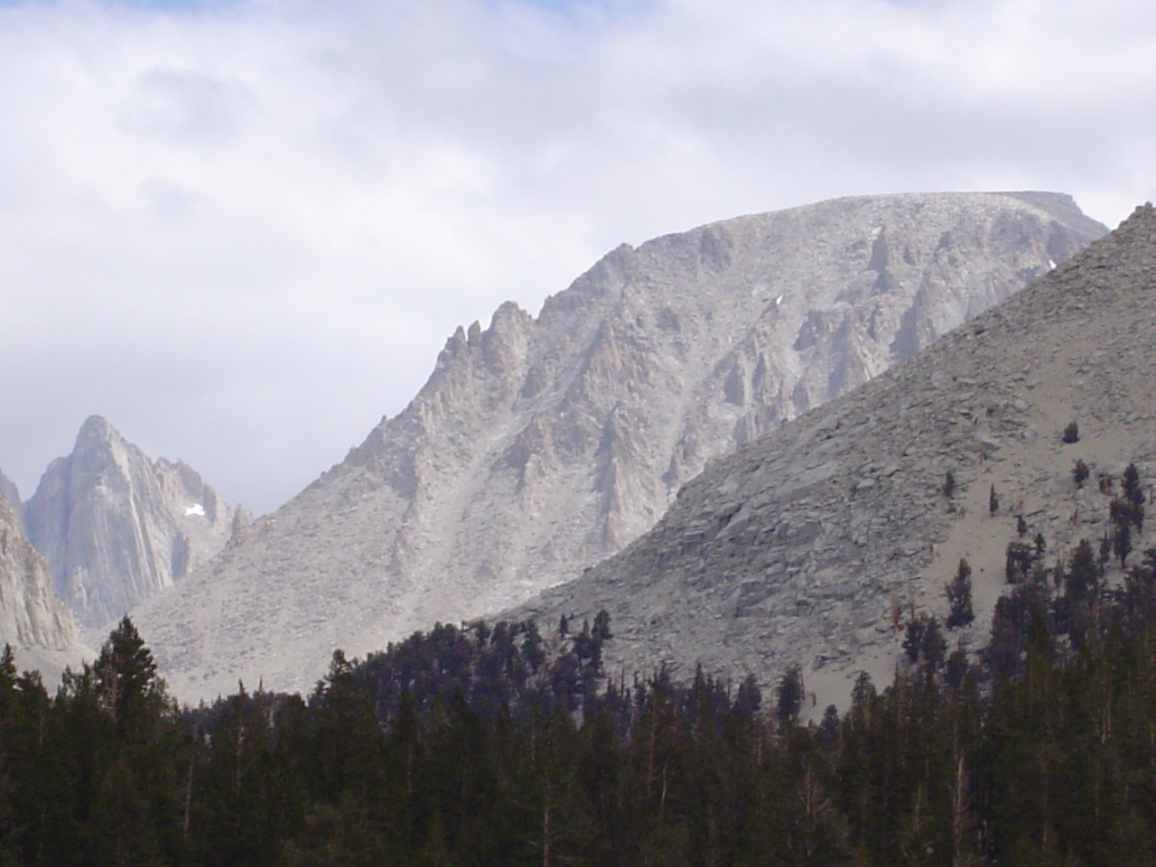
The big mountain in the middle is Mt. Whitney (14,494 depending on who you ask), the tallest mountain in the lower 48 states.
My father on Bighorn Plateau. It's really sunny up here what with no clouds and thinner atmosphere and all that. Very easy to get sunburned.
Mt. Whitney's backside, again. It's the one with the parallel lines of snow in the bigger picture.
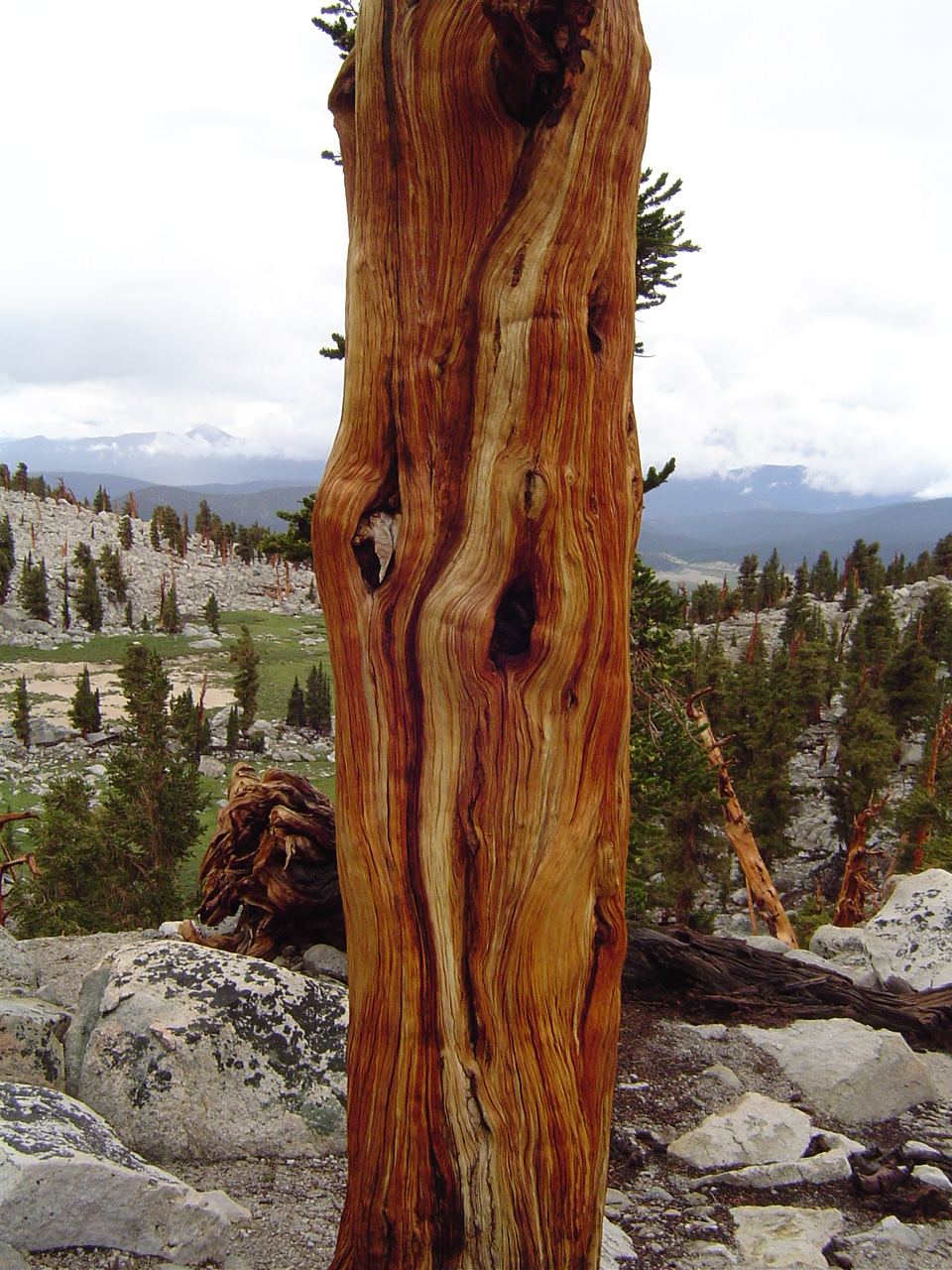
What trees survive near treeline are generally very strangely twisted; these ones haven't seen much wind, but have clearly seen a lot of lightning over the years.
Wow! Greenery again! Meadows are a great place to visit, but sucky to camp in - lots of standing water, delicate vegetation, and lots of mosquitos.
Whitney's backside, a closer view. I've hiked this peak 2.5 times (the second time we turned back due to heavy snowcover) and it never fails to amaze. Pity there are so many people who agree with me these days!
Some fellow hikers told us about this view. The Great Western Divide and Kern Canyon are very close here; the High Sierra Trail splits off right about now.
Don't get too close to the edge! It's pretty steep below us into the streambed... we'll be crossing it a little higher up where it's not so deep.
Spaghetti with meat sauce after a sponge bath is totally heaven. You'll never know if you don't ever try it. Trust me here.
Our camp tonight had a wonderful rock ledge for spying on hikers from. I felt like a mountain lion. My father apparently feels tired and content.
It's amazing what a difference a clean shirt makes when you've been hiking all day in a dirty one.
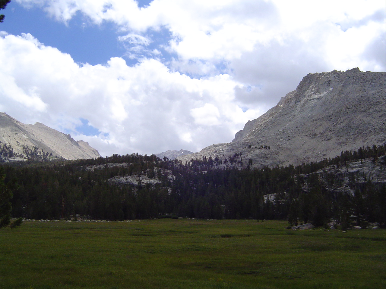
Beautiful meadows past Wallace Creek (I think this is Sandy Meadow?), but not as lovely as Crabtree. We saw an ermine somewhere around here. This is a fairly big meadow for this elevation, and it's not so wet as the smaller ones.
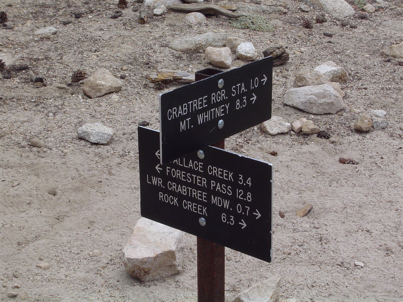
Farewell to the John Muir Trail! We split off towards Crabtree and take our first steps solely on the Pacific Crest Trail.
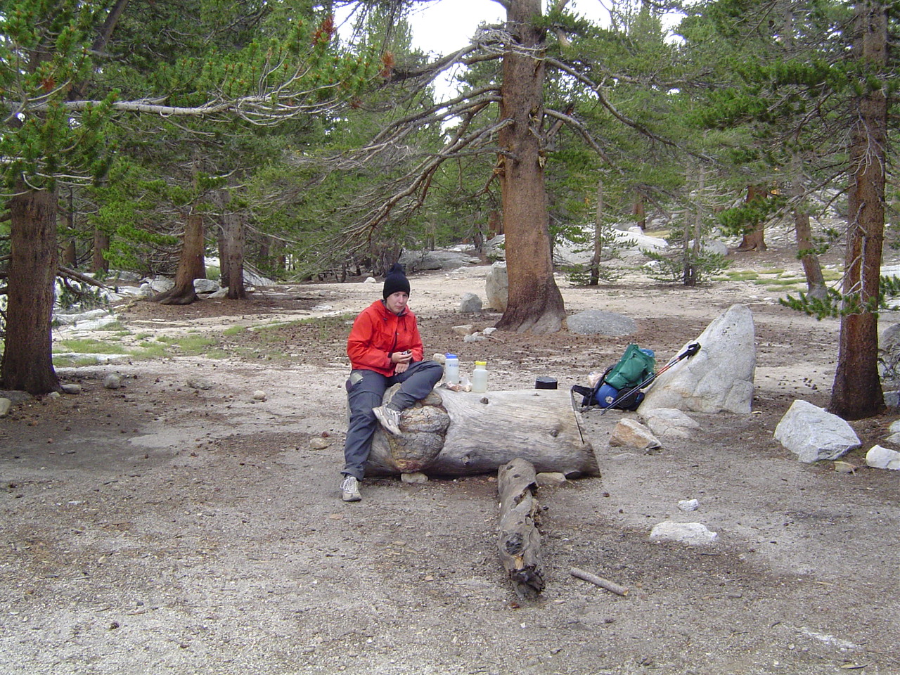
Crabtree Meadows is hiding behind the trees. A lovely spot to have a bite of lunch and enjoy the sunshine.
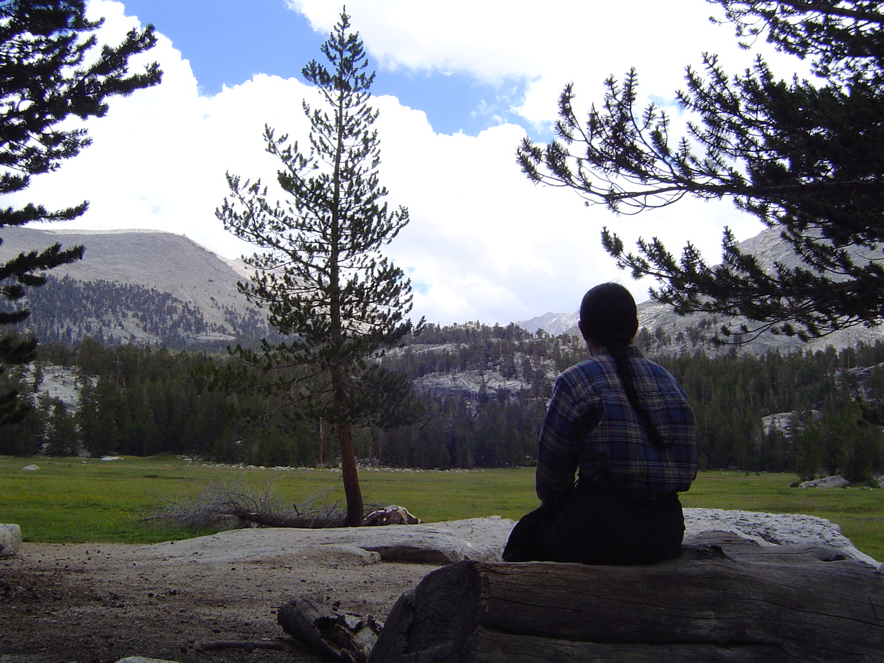
I think I wasn't feeling very photogenic, or I was just enjoying my lunch and the views.
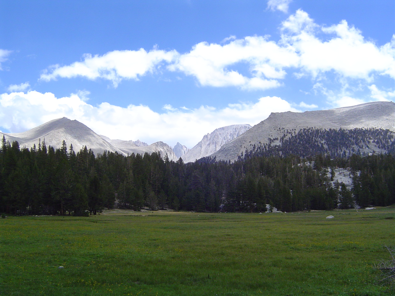
Crabtree Meadows, with Mt. Whitney in the background.
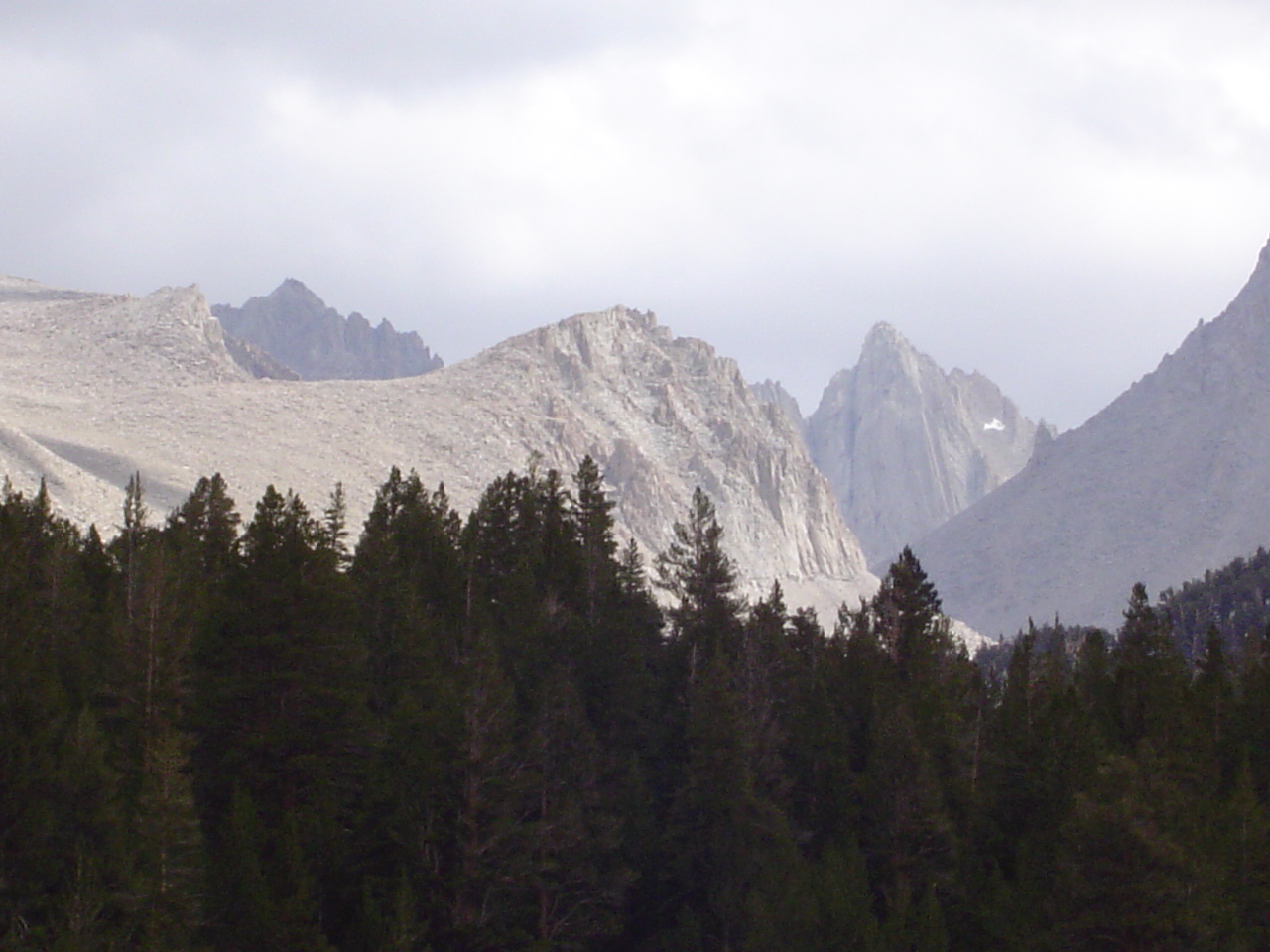
This spiky peak isn't named on the map, but it looks like heaven for rock climbers. I'm surprised it has no name, as it's very easy to find on the topographical map but impossible to identify.
Looking across the Meadows towards the Crabtree Lakes and Mt. McAdie.
Another overview of Crabtree Meadows. Unlike me, it is very photogenic.
Mt. Whitney's backside in full zoom. It's not very steep but it is very big.
When one stops hiking, one gets cold. Crabtree may be sunny (though it was somewhat cloudy today), but it is at 10,400 feet or so above sea level...
My photography skills are improving. Either that or the landscape is just too good to screw up. I blame the latter for this photograph.
Still feeling cold, and still feeling less photogenic than my surroundings. Ah well.
Crabtree Creek, which was full of trout that laughed at our pitiful attempts to cross. They looked really tasty, though.
Yes, that's Crabtree down there. It looks so small... farewell to water for a while, and also to grass and trees. Lots of ridges between here and Rock Creek.
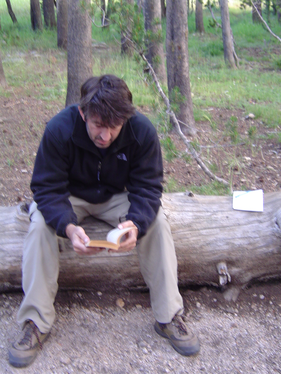
At Rock Creek; my father is reading our sole shared form of literary entertainment - a copy of Hermann Hesse's Narcissus and Goldmund.
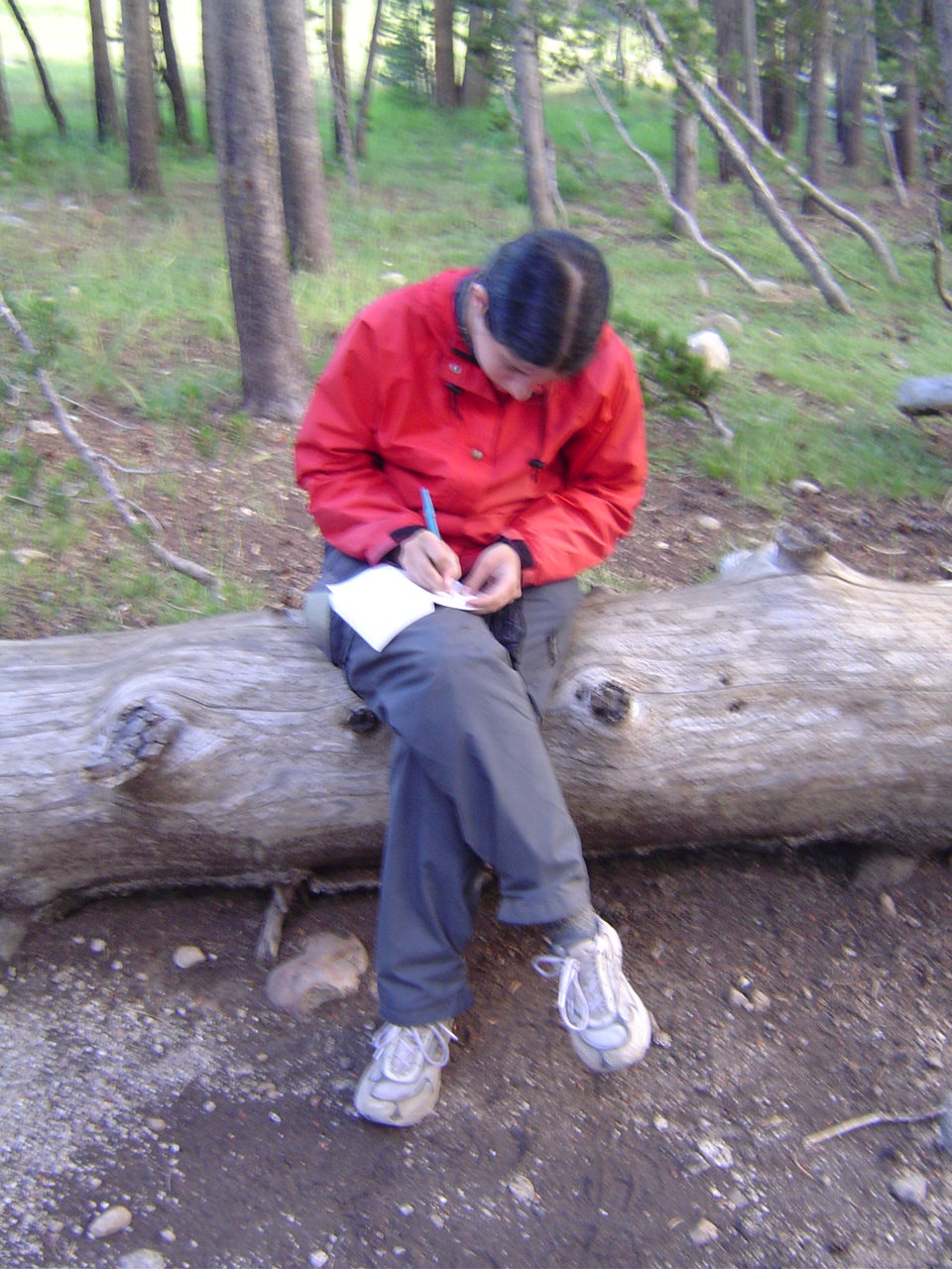
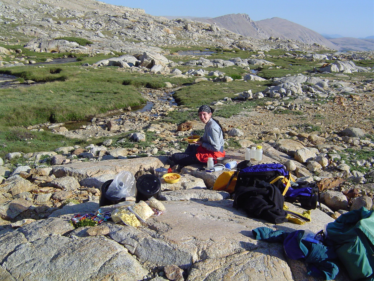
I, meanwhile, am writing in a journal in preparation for putting this website up someday. The journal was also useful for other things, like writing down email addresses and adding up trip milages. And an emergency firestarter if things got desperate, which they didn't.
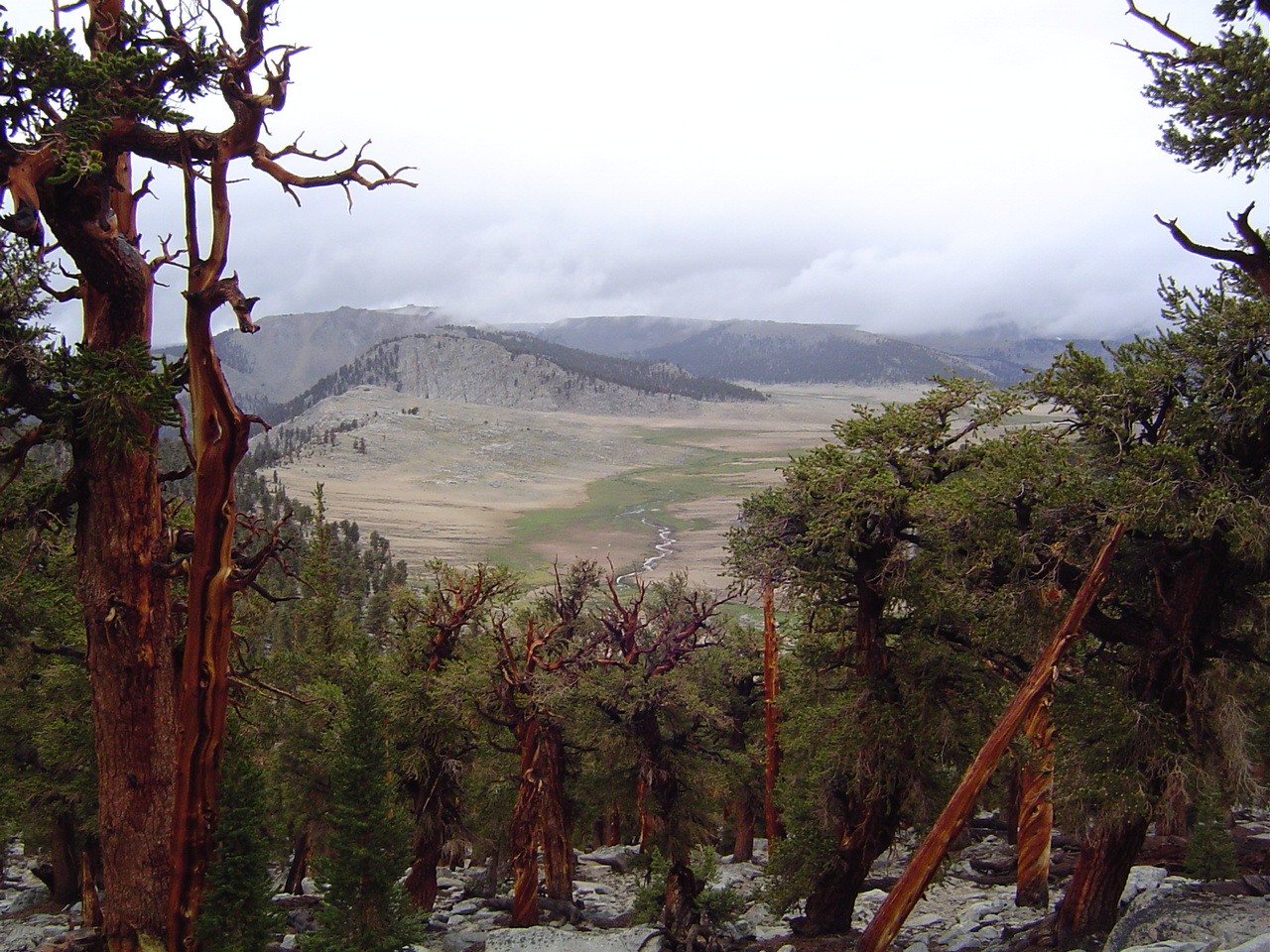
Looking down at Siberian Pass from the shoulder of Cirque Peak. The trail used to go straight over Siberian, but due to ecological damage (note the lack of straight rock to protect the ecosystem there) the trail has been moved higher up.
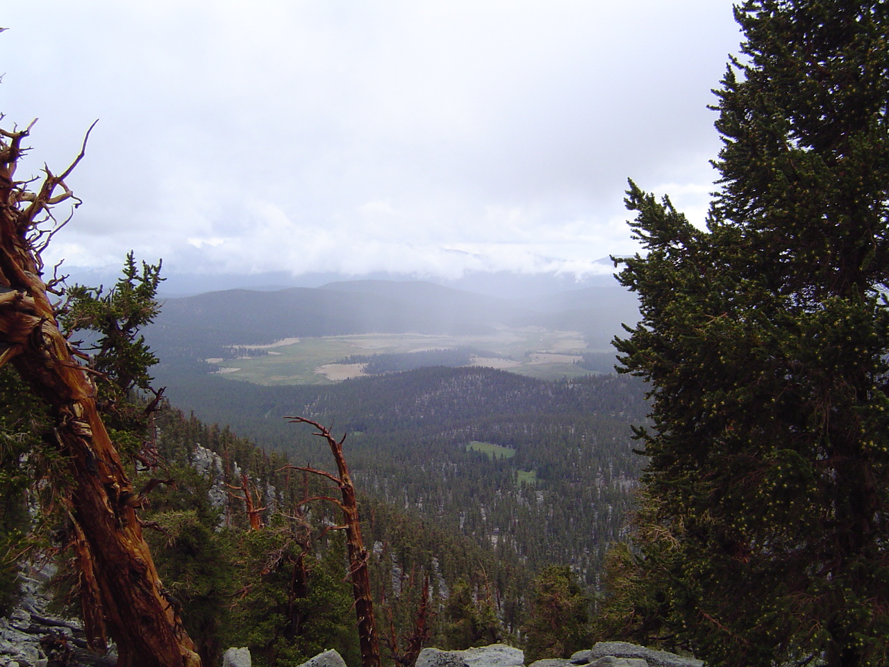
Salvation - our first view of Horseshoe Meadows! We're getting close now, and the last big pass is behind us. Wow, now I'm sad to be leaving, even considering the fact that my down sleeping bag is soaking wet.
For some reason this little meadow just below the pass cheered me immensely. I think it reminded me that all was not lost. It was truly a lovely little pocket of green in a big wall of granite.
Some people protest at a lack of color in the Sierra. I would like to point them at the trees, which are a lot more colorful than the concrete jungles of Boston.
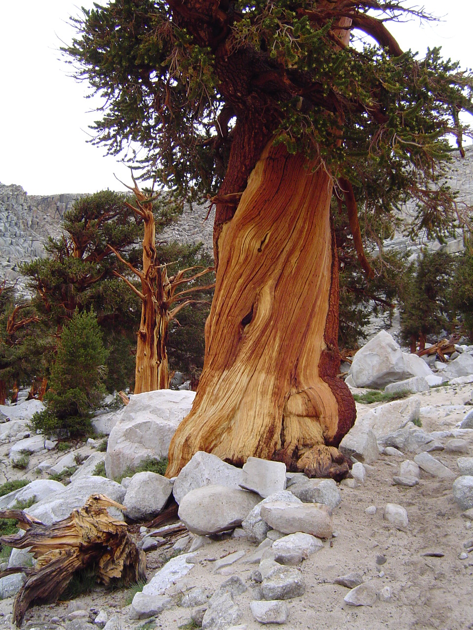
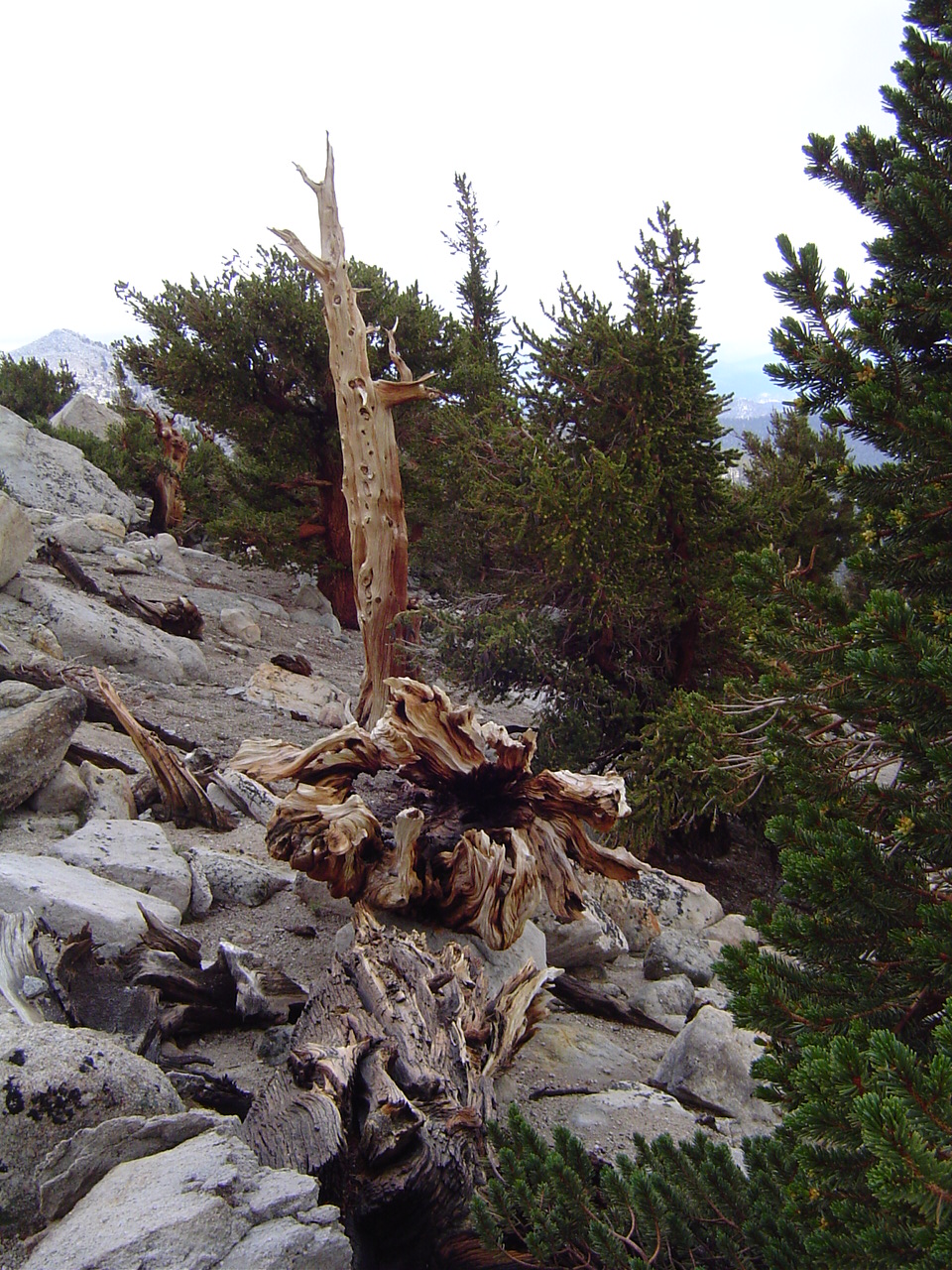
Considering how slowly these trees grow and the conditions they survive in, this tree must be very old. And, despite losing the majority of its bark, it's still growing strong. Hooray for adapting to a harsh environment.
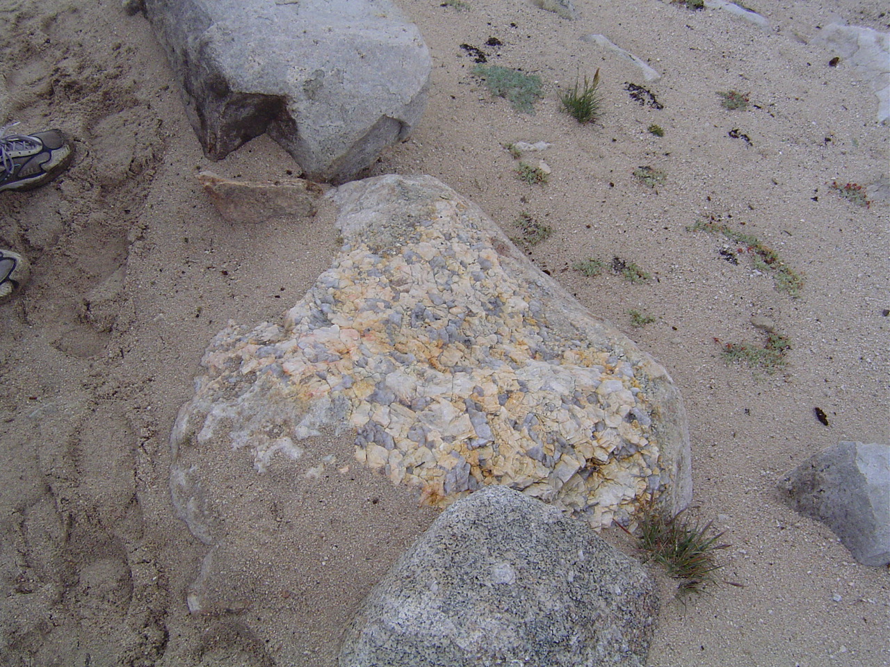
I thought this rock was very cool, even if the trail by it was harder to walk in than damp beach sand. I just liked the colors and the texture.
This looks like a nice place for small mammals to live in; the ecosystem recycles itself appropriately, even up here.
Salvation again! Those meadows look awfully promising. What's more concerning is the fact that we're above the clouds in front of us. This seems poor.
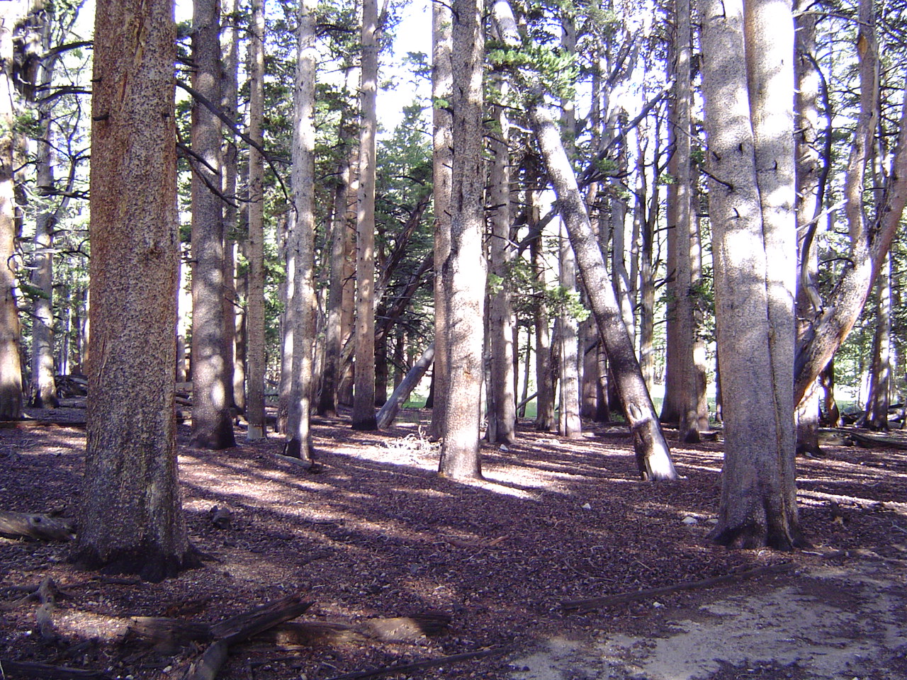
Our first view of a solid non-wind-sculpted forest in a while. This almost feels like a day hike now.
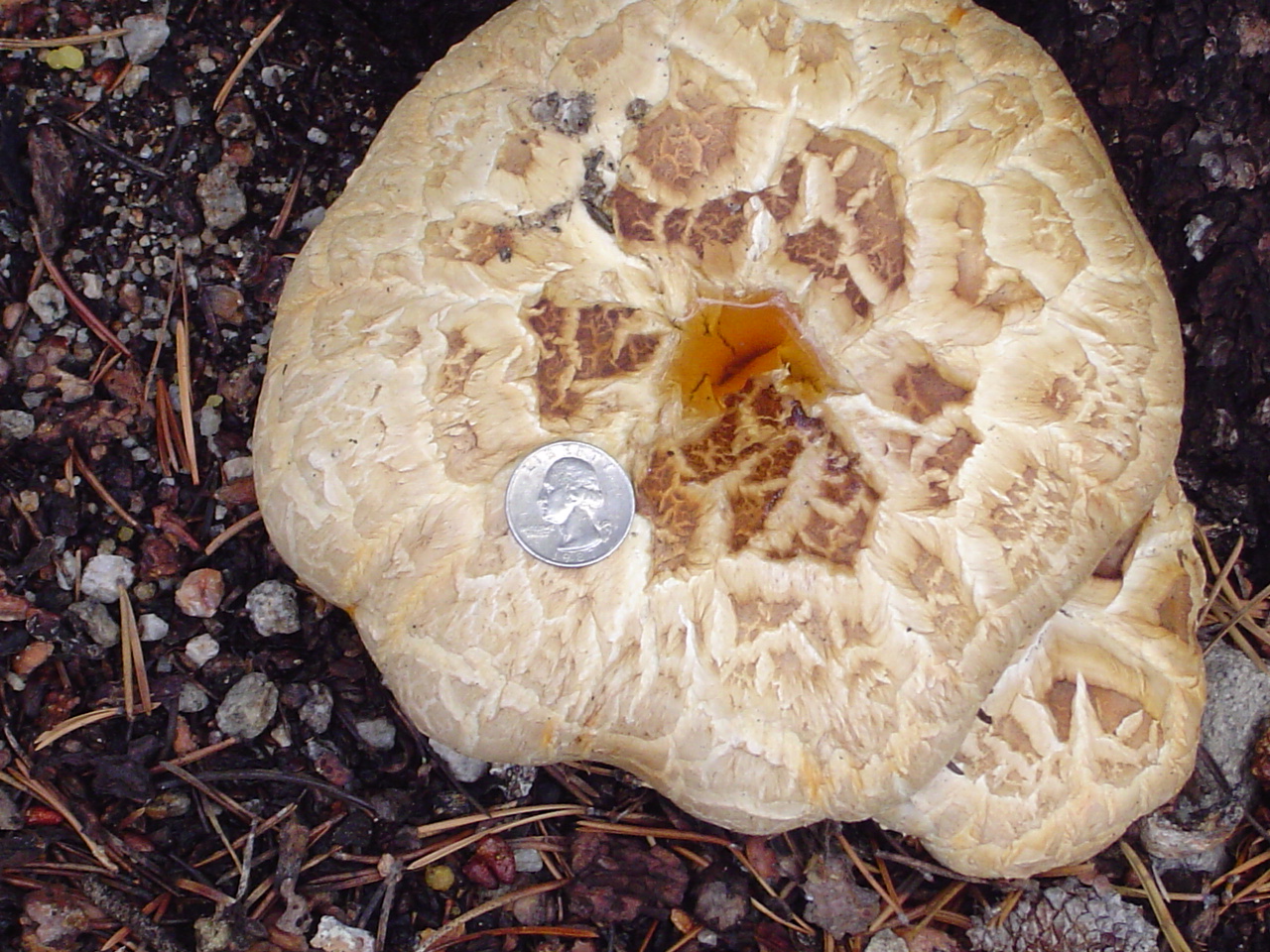
This is a very large mushroom. I don't know what species, but gosh, it's big!
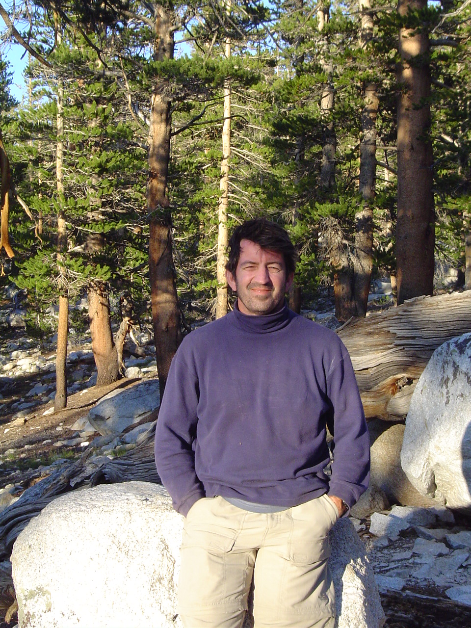
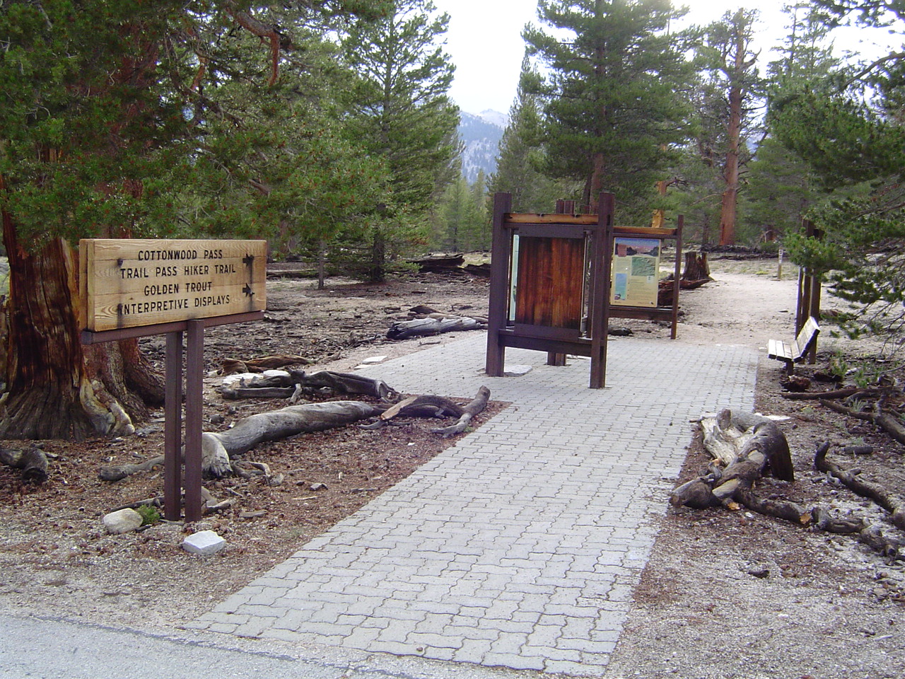
At the Cottonwood Pass trailhead. Wow. We did it together. We couldn't have done it alone!
Always take two, just in case.
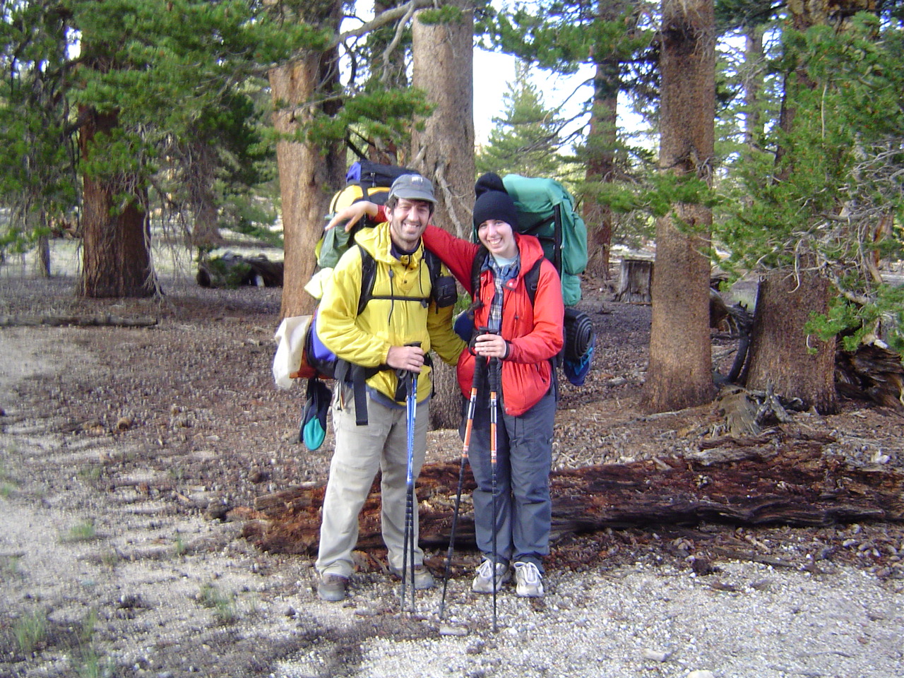
I am too short to put my arm around my father's shoulder, especially with my pack on. Oh well.
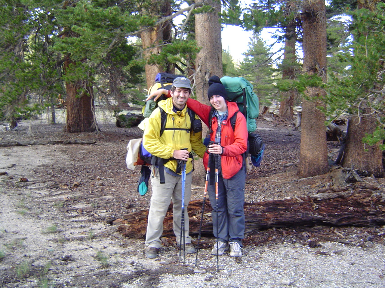
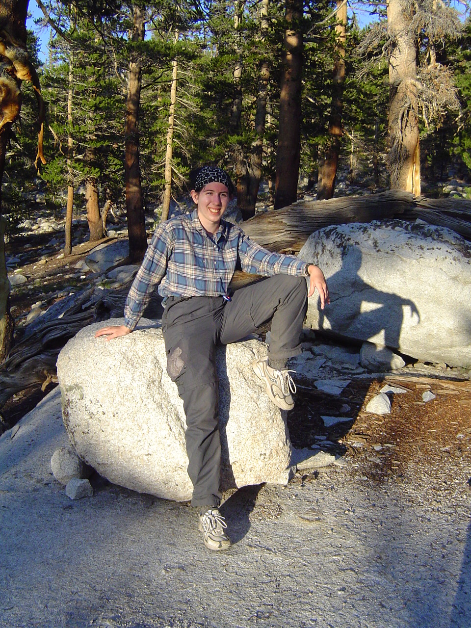
Part 2, take 2... action!
My father looks very happy. I was too.
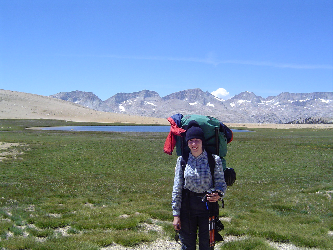
Those packs supplied us for five days, and would have for up to seven or eight with our supplies? Wow. I felt like such a consumer when I got home, and I'm not even that bad.
Apparently hiking for five days in the High Sierra isn't enough to wash out my hair dye. This is good.
I look tired here, but I'm just glad to be alive and safe. Of course, 6 months later, I miss it terribly.
The trailhead. You never realize what a luxury pit toilets are until you get to use one for the first time in 5 days. Such a miracle, modern plumbing! And hot showers await us tonight, even better. I think I must pray to the toilet gods.
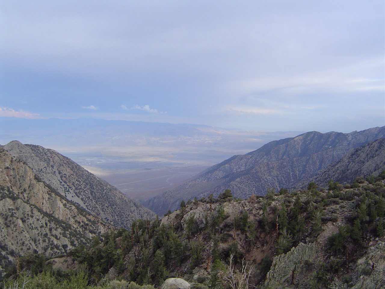
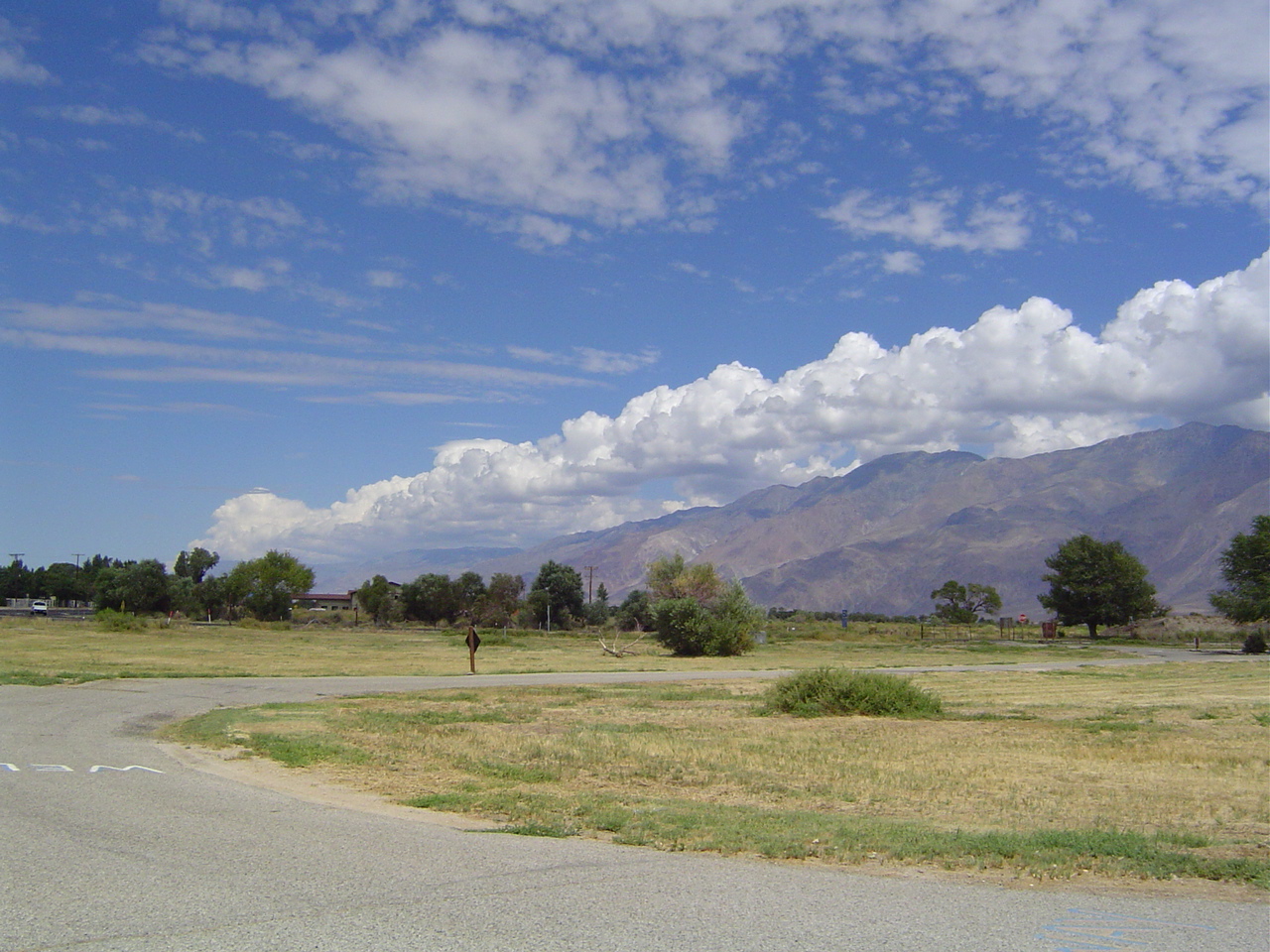
The drive down. You'll notice the light lingers a lot longer now that we're out of high basins. The Owens Valley is very large.
The mountains around the trailhead were very steep. Unhikable, but they managed to dynamite a road through them back into the High Sierra for the trailhead.
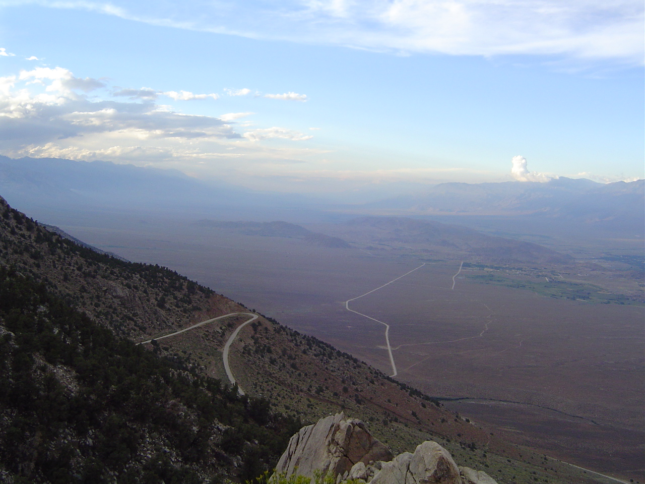
Not an ideal road for acrophobics like me. Fortunately, I wasn't driving. I kept my eyes closed most of the way down, just in case. Have you ever driven up or down the face of a mountain this steep? Yeah.
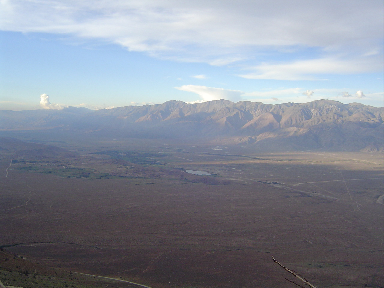
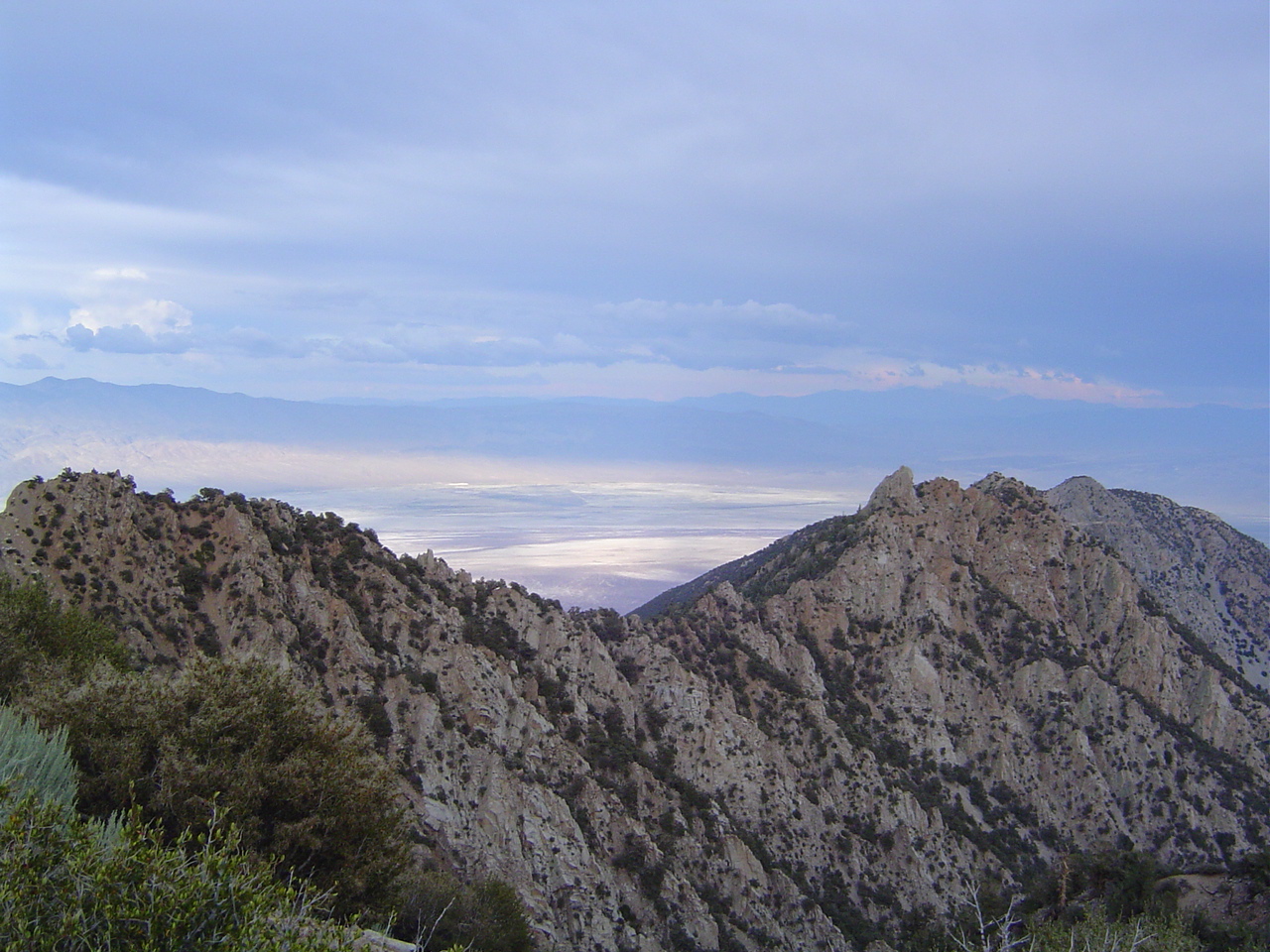
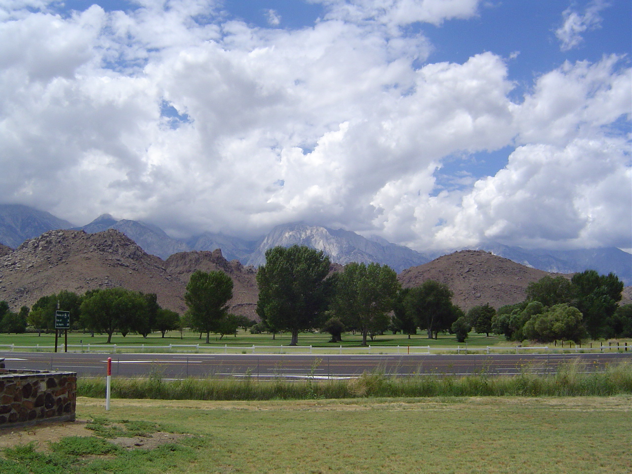
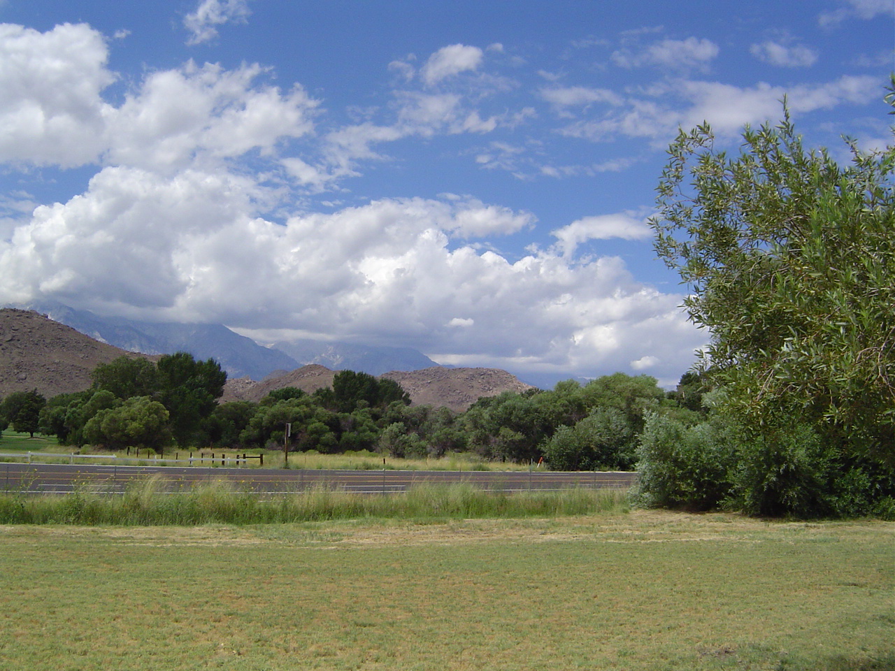
Owens Valley. Across from us are the Inyo Mountains. Farther north these turn into the White Mountains. They're so much bigger than the Whites in New England, but their weather is less evil.
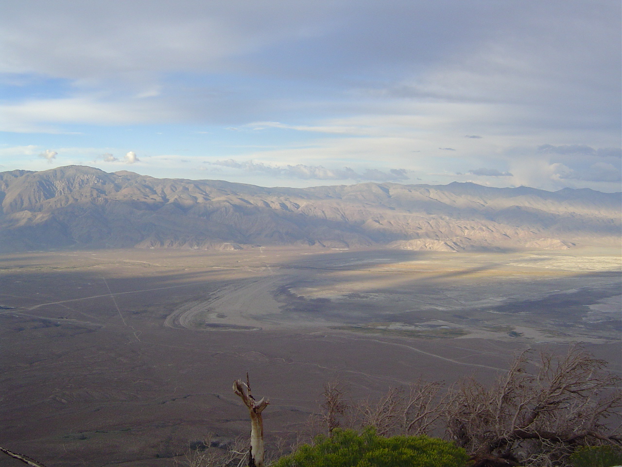
The Owens Dry Lake, sucked dry by Los Angeles. The dust off of it makes this valley have the worst particulate matter measurements in the country.
The city of Los Angeles is cooperating in attempts to decrease the blowoff of dust from the lakebed; efforts include planting saltgrass, watering the lakebed to settle the dust, and allowing water to collect in it once more.
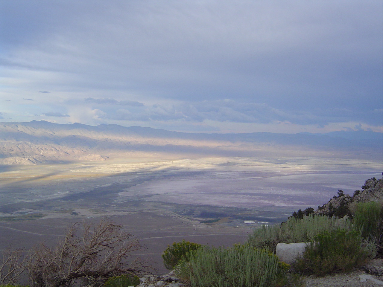
It would have been nice to see the lake when it was full, as it's quite large. Ah well. This viewpoint will have to do for now.
Now do you see why I said this was a frighteningly nasty and large storm for the Sierra? I've never seen anything like this.
Farther north the clouds were smaller, but no less nasty. There was snow at low altitude yesterday, which is rare for August. Lots of folks were bailing alongside us.
The Inyos were cloudy too, though not as covered as the Sierra. The sky above the valley was mostly clear, with high cirrus and cumulus clouds.
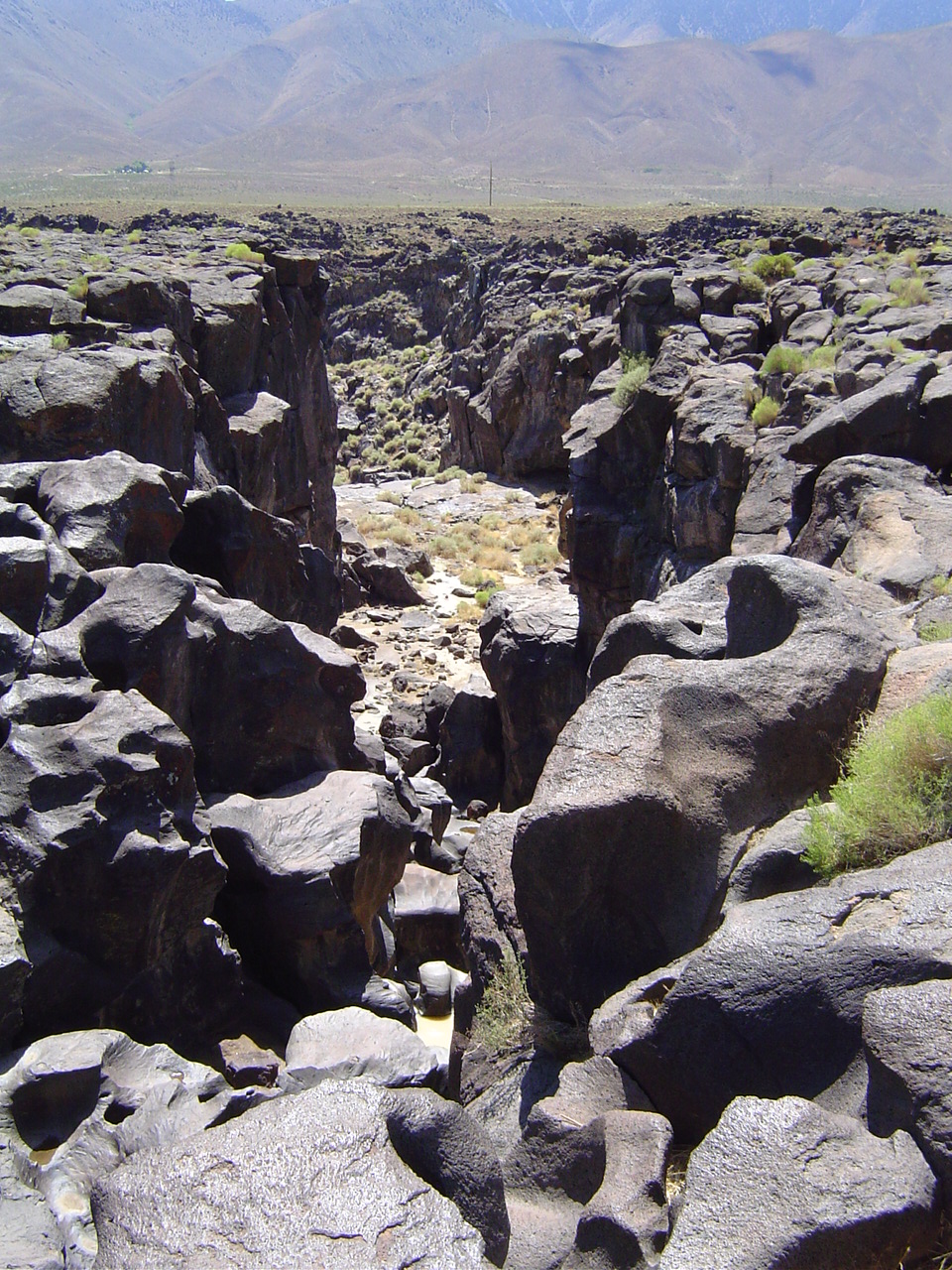
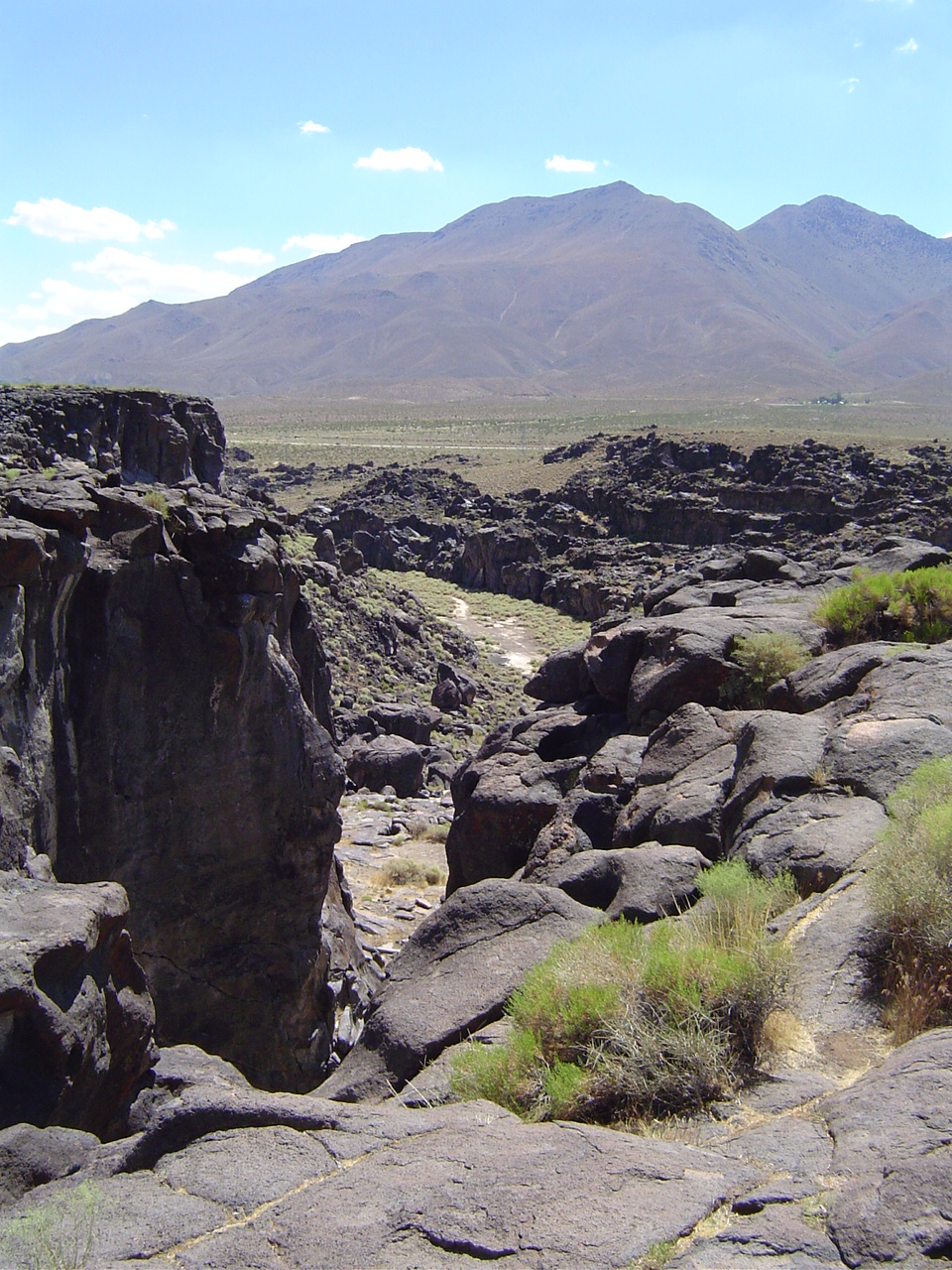
On our way south we stopped for a brief walk at Fossil Falls, near an ancient cinder cone.
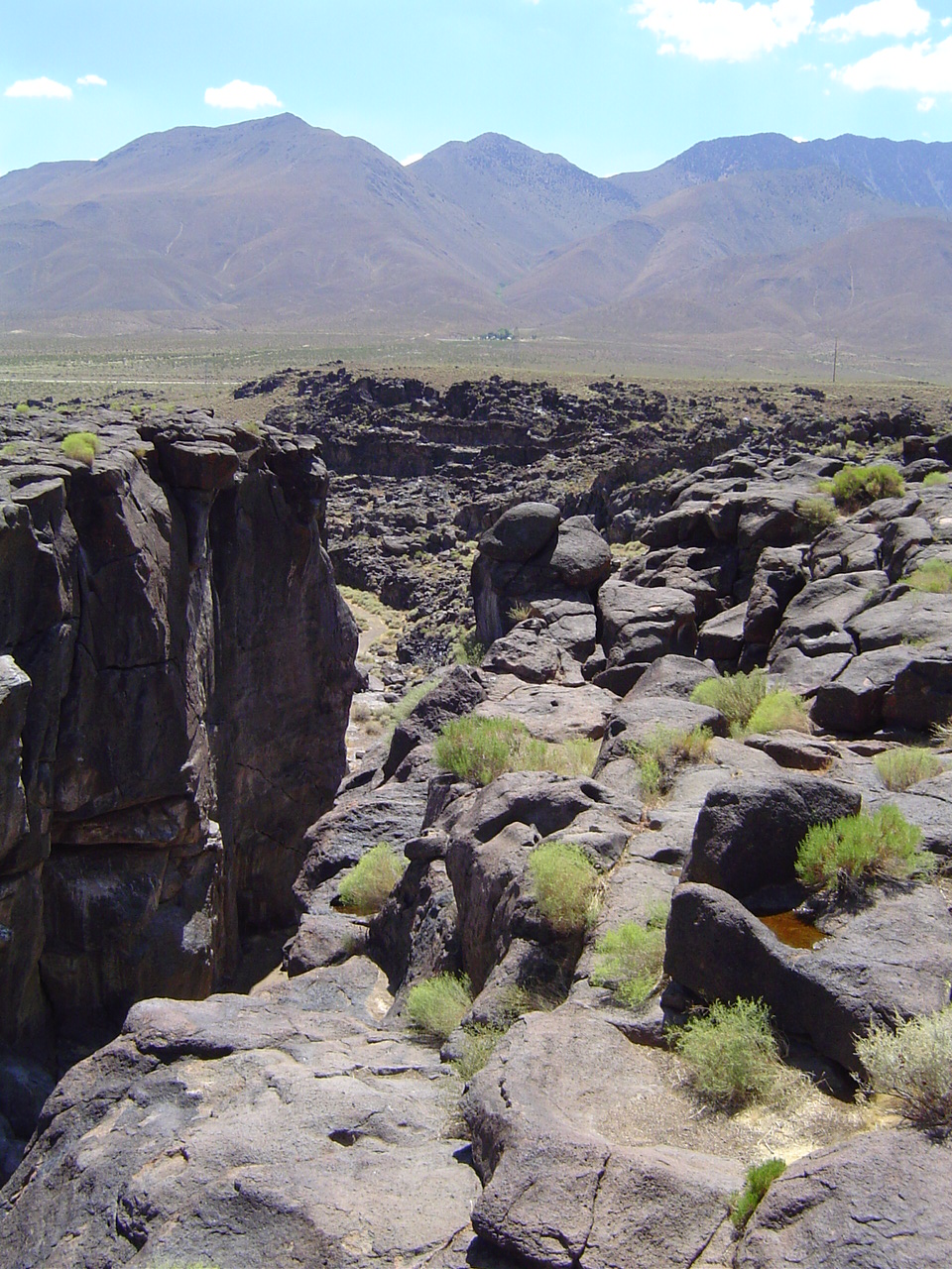
The falls are an ancient lava deposit that later was carved by water into the strange lumps we see today.
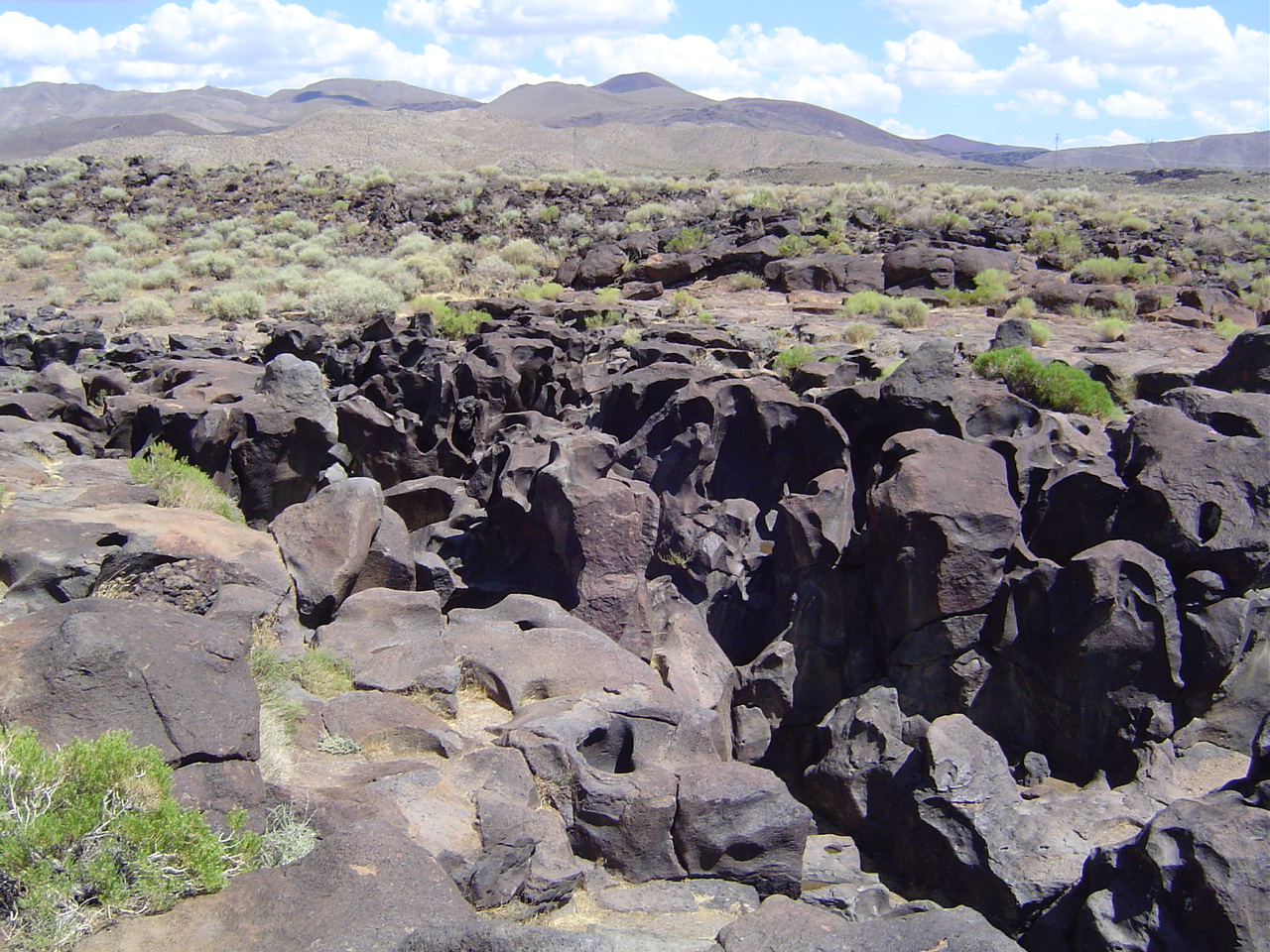
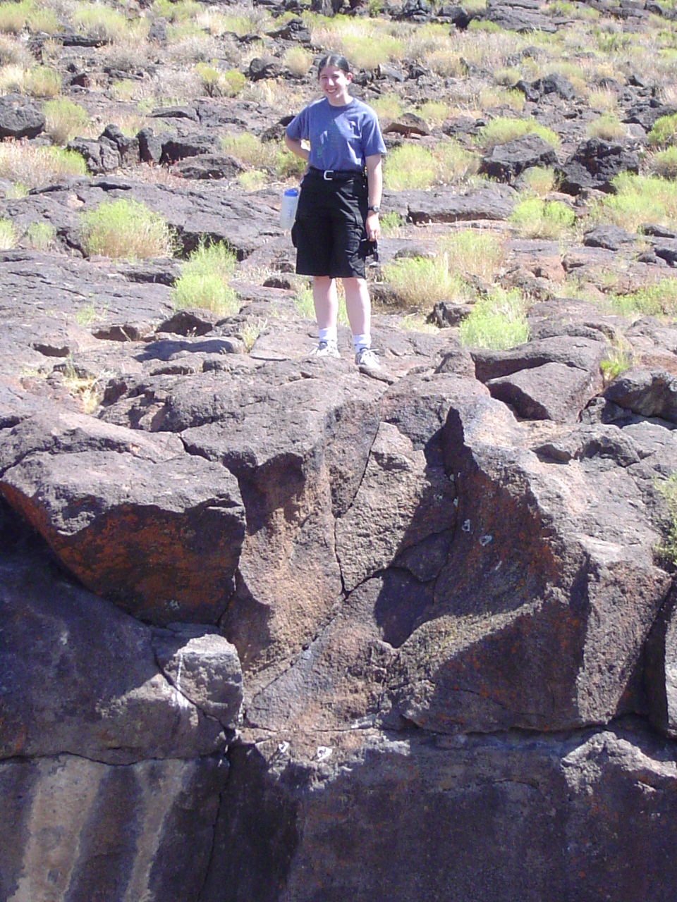
The first fall is only about 40 feet or so deep; if you hike farther down (a ways) you'll see the main fall, which is over 200 feet. Very impressive, given how hard igneous rock is.
After almost getting hypothermia the day before, it was strange to almost get burned by touching the lava.
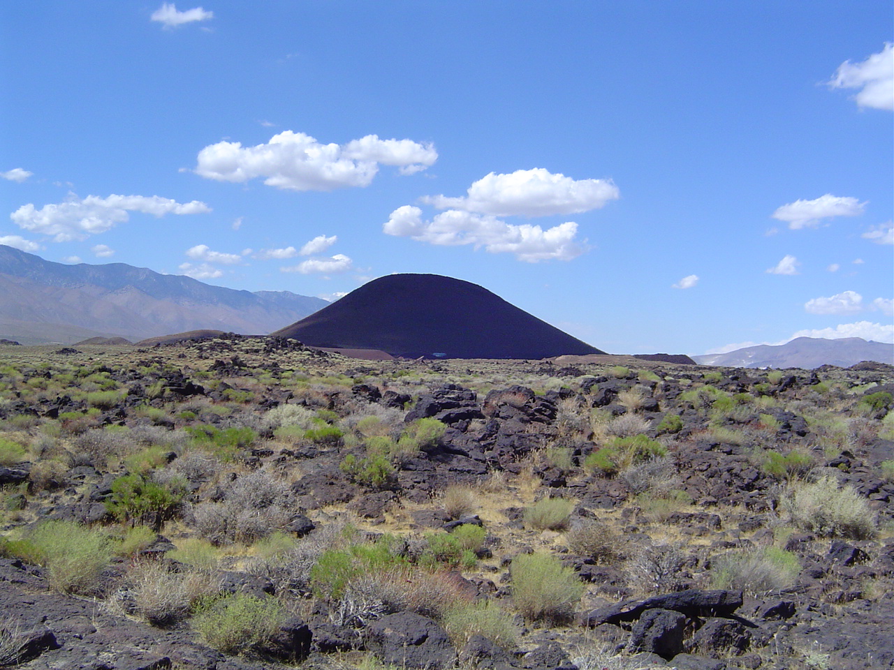
Red Mountain, a small volcanic cinder cone, is a great landmark for both drivers and hang-gliders, who frequent the valley and the surrounding mountains.
Wow, it's warm. It feels weird to wear cotton shorts and a t-shirt after hiking for so long. I feel... touristy.
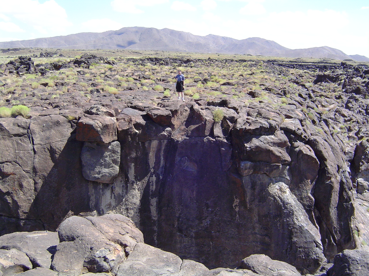
In case you wanted some scale on Fossil Falls, here it is. I look very tiny.
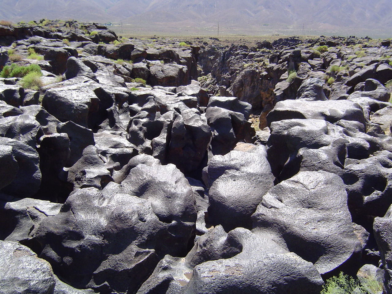
Did I mention that the rock formations were bizarre? I swear to you that that is solid lava. It just looks like pudding.
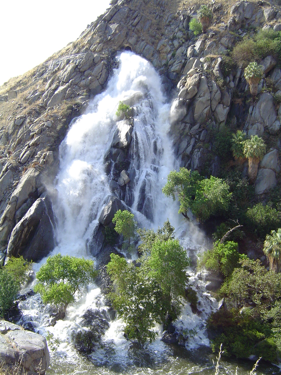
Winter/spring snowmelt made the Kern River very full this year, so excess was piped through the canyon in an aqueduct and released here.
The sound was impressive; lots of people were standing outside of their cars taking pictures. It reminded me of a Chinese painting.
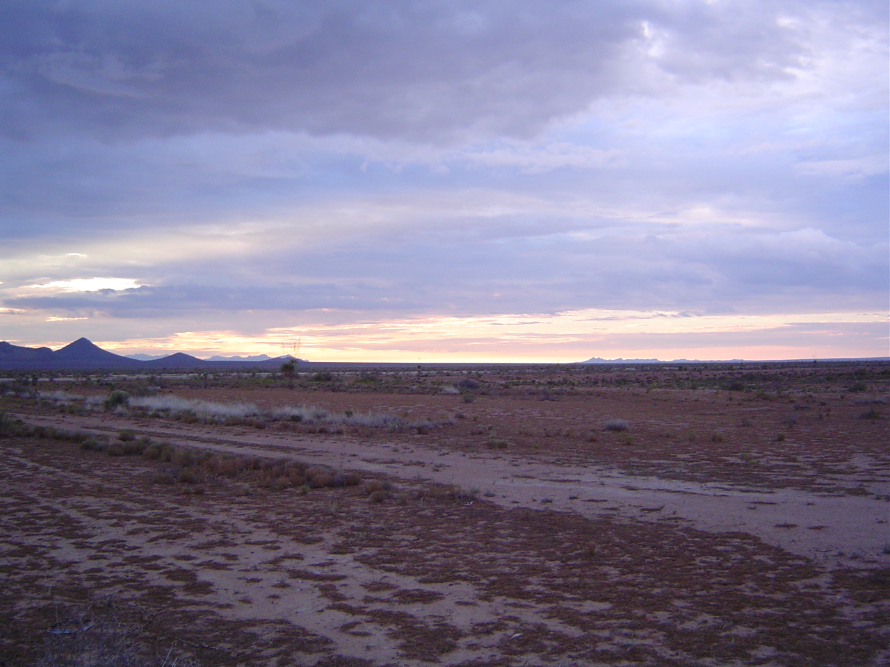
A typical roadside scene in Arizona. Very bleak, very desolate, with little or no water. The sunsets, though, are spectacular here.