Gateways for:
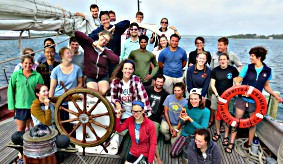
The Massachusetts Institute of Technology (MIT) - Woods Hole Oceanographic Institution (WHOI) Joint Program in Oceanography/Applied Ocean Science and Engineering is a five-year doctoral degree program. The combined strengths of MIT and WHOI provide research and educational opportunities in scientific and engineering disciplines that contribute to ocean science. Many students carry out interdisciplinary research. Only U.S. Naval Officers are admitted to the Joint Program for a master's degree. Increasing representation, having a diverse student body, and advancing inclusion are critical to the MIT-WHOI JP’s mission, and to the missions of both MIT and WHOI.
Program Description »
Download the Graduate Program Flyer »
Featured News & Events
Student Videos, Blogs, & Articles
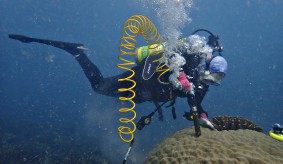
Follow the thoughts and activities of Joint Program students at home and in the field. Are you interested in STEM? Study the ocean. Checkout these videos, blogs, and articles.
Online Application Deadlines
For US Naval Officers, the online application opens July 1 and the deadline to apply is October 1.
Applications for Doctoral candidates are now closed. The deadline for all application materials was December 15, 2023.
For the 2023 admissions cycle, GRE scores will not be required but may be submitted as part of the Joint Program application.