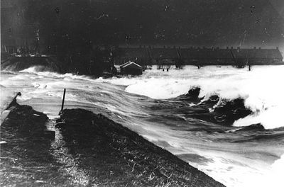
In February 1953, a North Sea storm struck the Dutch coastline. With characteristics of a hurricane, the 60mph winds blowing clockwise around a central high produced a storm surge of nearly 14 feet.
Water flowed inland through series of open estuaries and penetrated even smaller conduits such as shipping channels and canals.
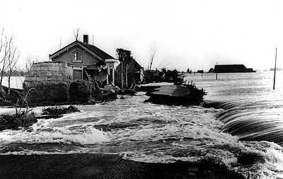
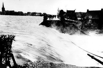
The dikes were not designed to hold against such high water levels.
Dikes at the polder side broke first, since they were the least maintained.
Reinforcements of the dikes had been done on the sea side, since it was expected that this side would be the weakest. However, the water flowed over the dikes and hollowed them out from the land side.
In all, over 89 dikes failed. Damages and breaches were found over a distance of 187 kilometers.
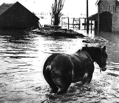
Around 3 am the dikes began to fail. Most residents had no warning before the water reached their homes.
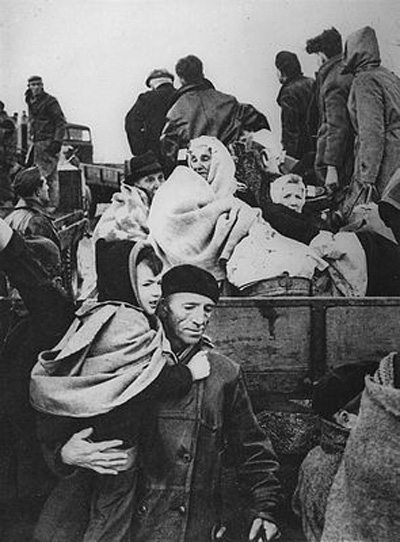
The tide finally retreated and water levels dropped later that morning. Residents moved to higher areas and took refuge on their roofs.
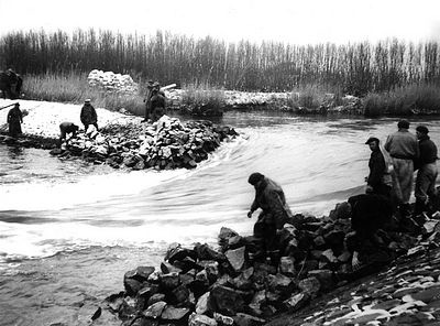
Individual rescue efforts began. Villagers used boats to look for victims to help them to higher ground.
Radio and telephone communications were cut off, so the extent of the devastation was unknown to the outside world.
Conditions were worsened by a second flood that afternoon. Dikes that were already breached provided easy access for water to pour into the polders.
Many homes that survived the first flood collapsed during this one.
Wide scale recovery efforts began the next day.
By the night of February 3rd, the storm had cleared. Within a few days, all rescue efforts were completed and inspections of the damage began.