The first step to creating a Greenway is conception: where will it be
built? Three different players can identify where a Greenway might go:
Most often, the city or town itself will identify the site for a possible greenway. This idea can come from the lobbying of residents or from city planning staff. Sometimes the Greenway Foundation or the Urban Drainage and Flood Control District will suggest a site - but it is up to the city to decide whether to commit to the greenway.
Once a site is selected, the next step is to line up funding for the greenway project. The city presents The District with its proposed site and the project is put on a five year "Capital Impovement Plan" list, where it awaits District funding. The District will match the funds provided by the city or local government for the construction of the floodway (read greenway), which often includes a maintenance access path (read bicycle/pedestrian path). Other greenway amenities - and the maintenance thereof - are funded by the city's parks and recreation department and/or the Greenway Foundation. The District will, however, generally provide 100% of the maintenance costs for the drainage and flood control portions of the project. In addition to providing funding for greenway recreational amenities, the Greenway Foundation will also "fill in the gaps," if necessary.
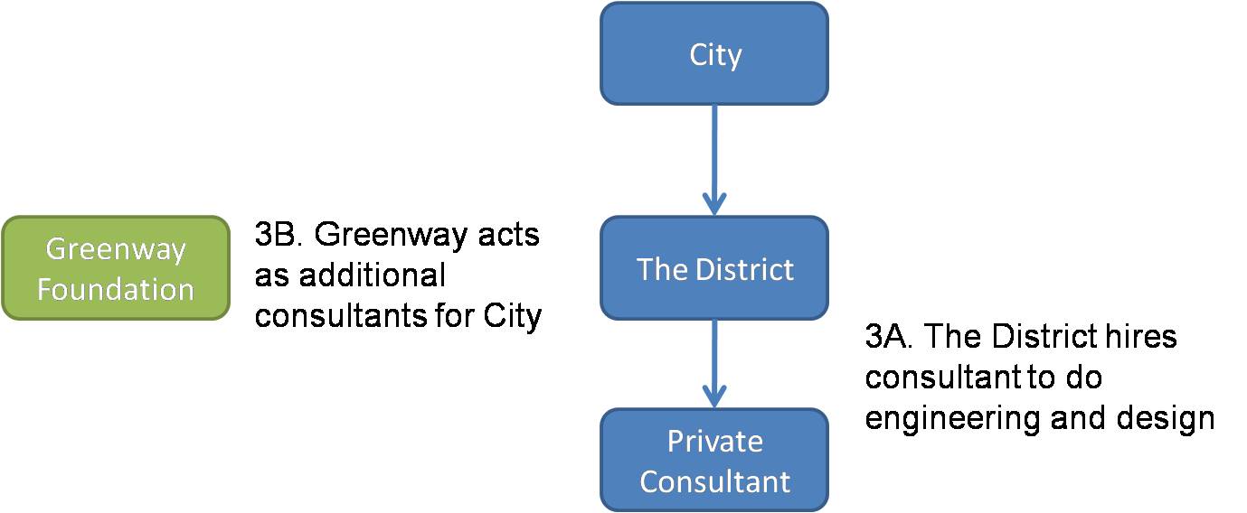
After funding for the greenway is in order, The District sends out a request for proposal (RFP) to engineering firms for the project. The lowest bidding consultant is selected and design work on the greenway begins. During this design phase, the Greenway Foundation sometimes acts as an additional advisor to the city for the planning and design of greenway amenities.
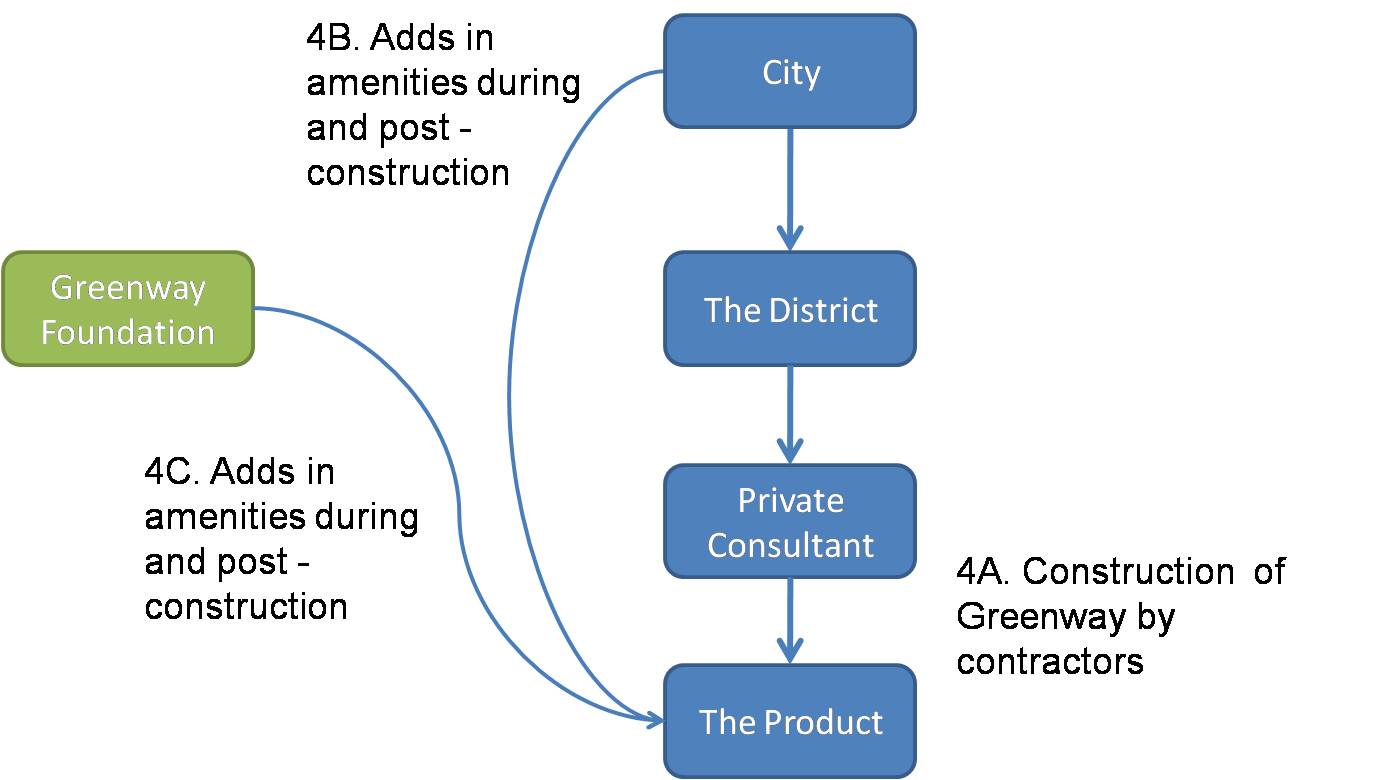
When the engineering firm completes the design, The District and the city review the plans. Assuming no changes to the design need to be made, The District RFPs out to construction companies to actually build the greenway.
Both during and after the construction of the greenway (which can often take years), the city and the Greenway Foundation can add in further recreational amenities. Below is a relatively generic timeline for a greenway project that shows how long each step can take.



.jpg)