Why Denver?
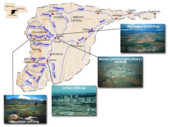
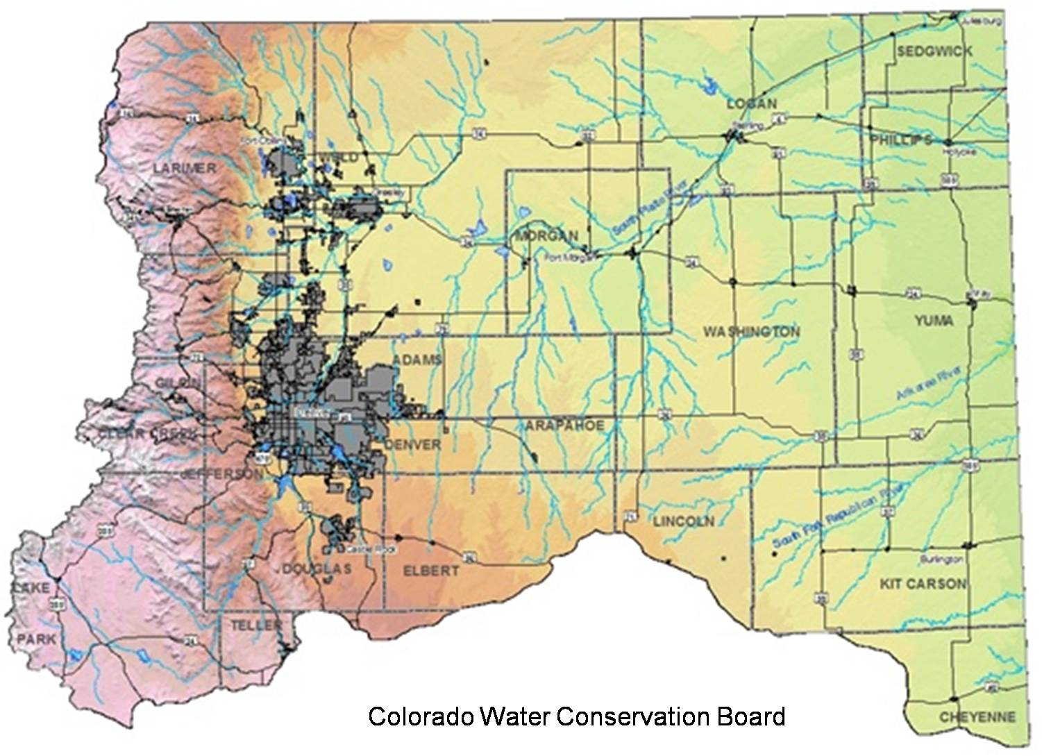
| Denver is located on the plains of Colorado, east of the Front Range of the Rocky Mountains. The South Platte River runs through the heart of the city and the river's confluence with the Cherry Creek marks the spot where Denver was founded. Along with most of the north-east of Colorado, Denver lies in the South Platte River basin (see image at right). The river starts south-west of Denver in Park County - in the South Park basin - and joins the North Platte River near North Platte, Nebraska. The Platte River flows east through Nebraska and joins the Missouri River south of Omaha. As the South Platte River flows through Colorado and on into Nebraska, it flows through rural mountain, suburban, urban, and agricultural areas. Denver is the largest urban area this river flows through (see map below). | |
| Historically, Denver has had an interesting - and in many ways, classic - relationship with the South Platte River. Although it will be discussed in further detail in the history section of the website, Denver, like many other cities, developed and grew at the cost of its rivers, creeks, and streams. What makes Denver so intriguing, however, are the actions it took after a disastrous flood in 1965 to address the plight of the South Platte River and its tributaries. A web of complex, evolving relationships between the city of Denver, other cities and towns, a regional government organization, a non-profit, and private-sector consultants developed to build greenways along these troubled water ways. The evolution of these relationships and the ways these players built a regional greenway network together are the main foci of this study. |