Described generally, "greenways are corridors of protected open space managed for conservation and recreation purposes. Greenways often follow natural land or water features, and link nature reserves, parks, cultural features and historic sites with each other and with populated areas" (from americantrails.org). The greenways in the Denver region do all of these things - and more. The chart and images below illustrate some of the key characteristics of greenway projects in Denver.
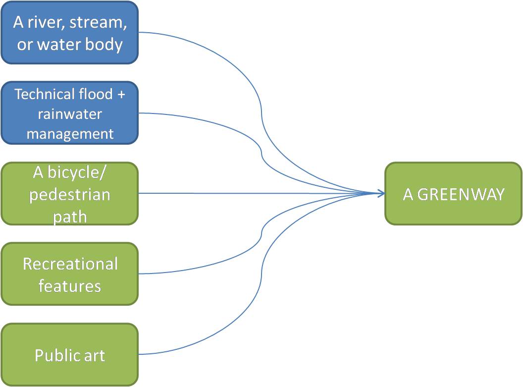
A river, stream, creek, canal, pond, or water body of some sort generally defines the route of a greenway in the Denver region.
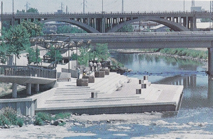
The greenways are engineered to function during periods of both low water flow (when some streams run dry) and high water flow (after a heavy rainfall or during a flood). The images below show Confluence Park along the South Platte River Greenway in the heart of Denver, which is stepped to allow for variations in river water levels.
| Confluence Park during low water flow | Confluence Park during high water flow |
| Photo from Returning the Platte River to the People by Joe Shoemaker | Photo from denverbikepaths.blogspot.com |
The greenways in Denver usually have a bicycle/pedestrian path that parallels the water body. Major multi use paths are paved with asphalt or concrete, while others use crushed, fine gravel. Below is an image of Lakewood Gulch borrowed from denverbikepaths.blogspot.com. Note the multi use path of asphalt and concrete on the left bank and the old rail road line on the right bank (which, eventually, is planned to become an active light rail line).
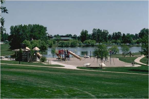
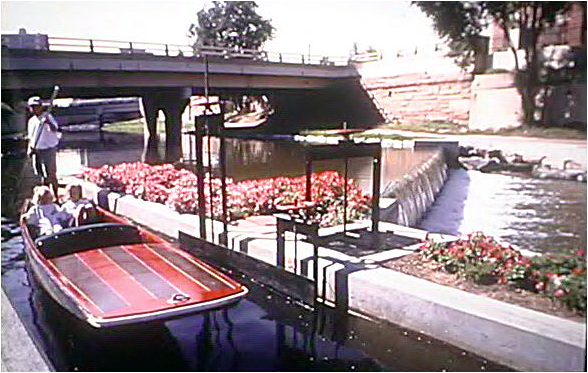
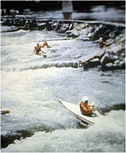
Both terrestrial and aquatic recreational features are scattered along many of the greenways. There are parks, benches, picnic tables, barbeque pits, gazebos, bike racks, and playgrounds on the land and places to fish, go swimming, go tubing, and launch boats (i.e. rafts and kayaks) in the water.
A playground with bike racks, picnic tables, and benches. Photo from the Urban Drainage and Flood Control District's "Drainage Criteria Manaual" (V.1) p. 29
| A punt boat punting Cherry Creek | White water kayaking course near Confluence Park |
Photos from "The Reclamation of the South Platte River Three Decades Later" (a report by the Greenway Foundation and the Urban Drainage and Flood Control District)
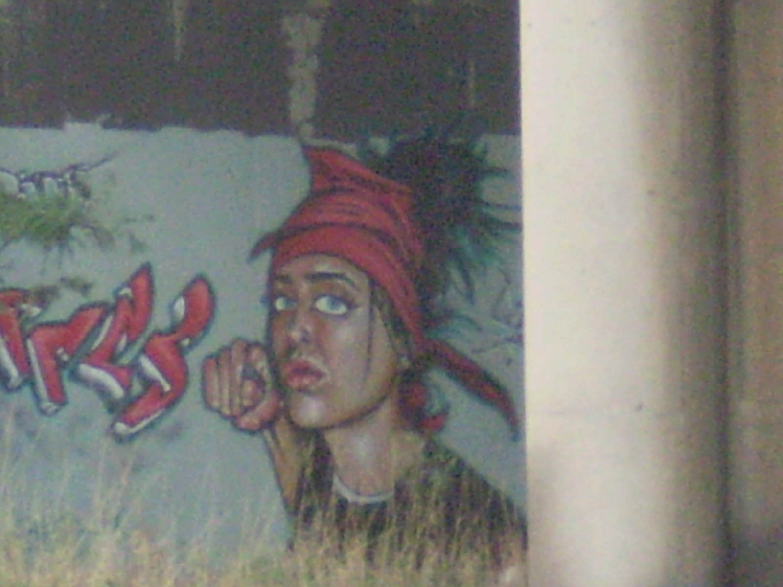
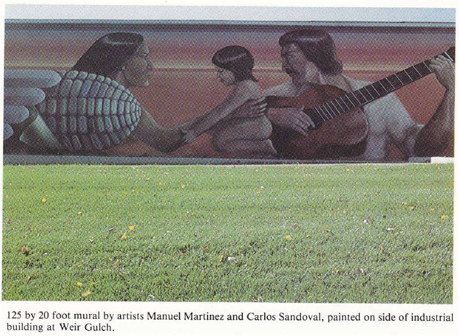
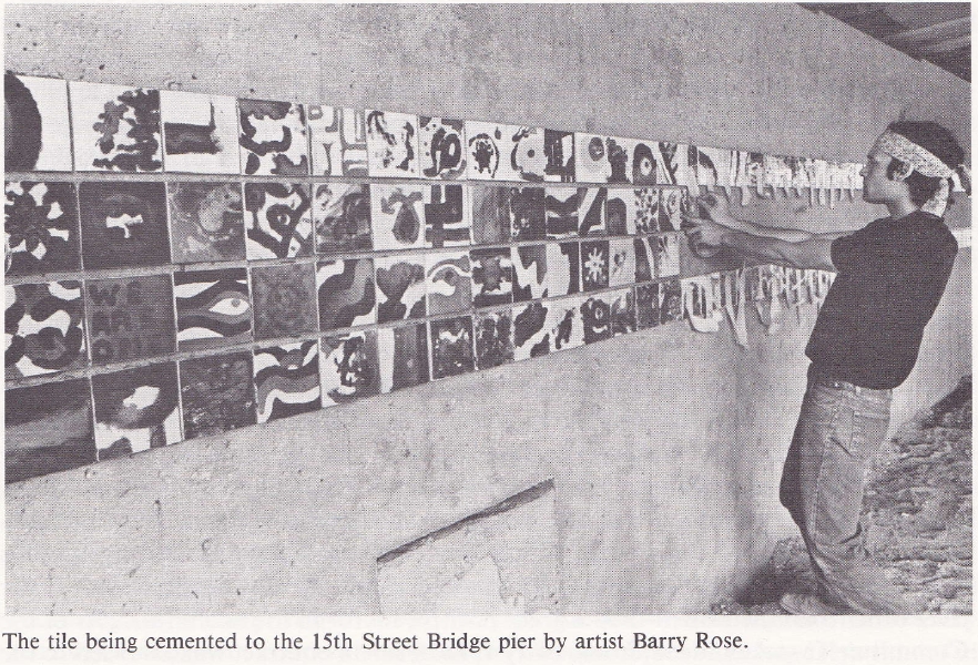
All of the greenways have their share of unofficial public art, sometimes called "graffiti," but some also have official public art – like murals or sculptures.
Unofficial Public Art:
