Site Selection
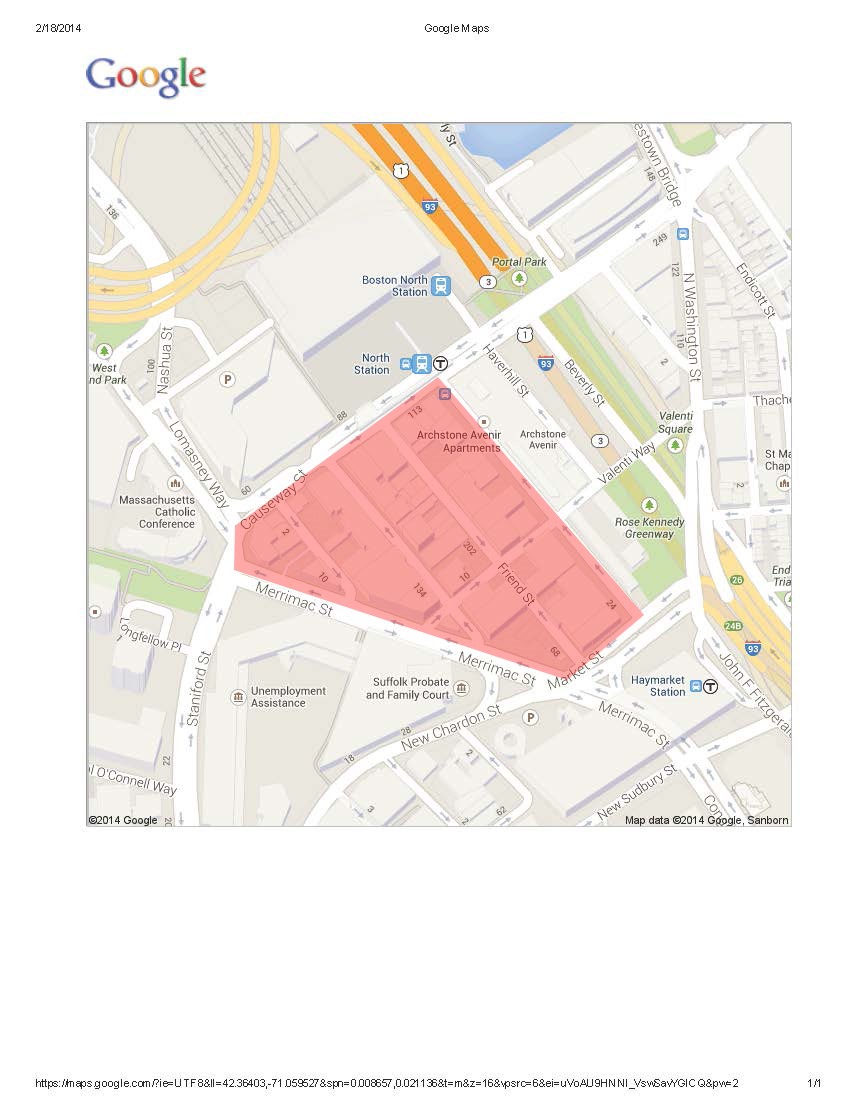
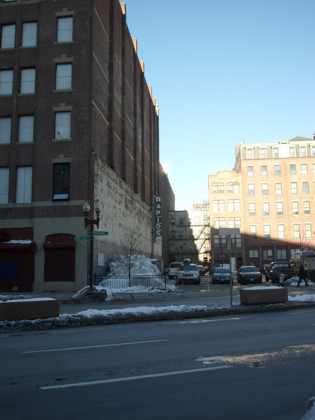
I had originally intended to visit a part of Boston further northwest, but the triangular Causeway-Merrimac area immediately jumped out at me as an anomaly in both the size and type of buildings, as compared to those nearby. Aside from diagonal break being used as parking space paling in comparison to the massive, 8 story parking complex across Market St., this site was also superficially more run down, with rusted old windows and boarded up doors every few buildings. Bounded by Central Parking, the Edward Brooke Courthouse, and the TD Garden Sports Arena, this site stuck out like a sore thumb with its older, dirtier architecture and smaller building size than the giants nearby. With Causeway St. to the northwest, Market St. to the southeast, and in between Merrimac St. and Canal St., this site was clearly a residential area at some point, and seems to have switched to a commercial focus. After exploring down its narrow streets, it became very obvious that this site, despite its age, has been preserved by the nearby sports arena, with its residential land use converted to serving sports fans on their way to watch a game.
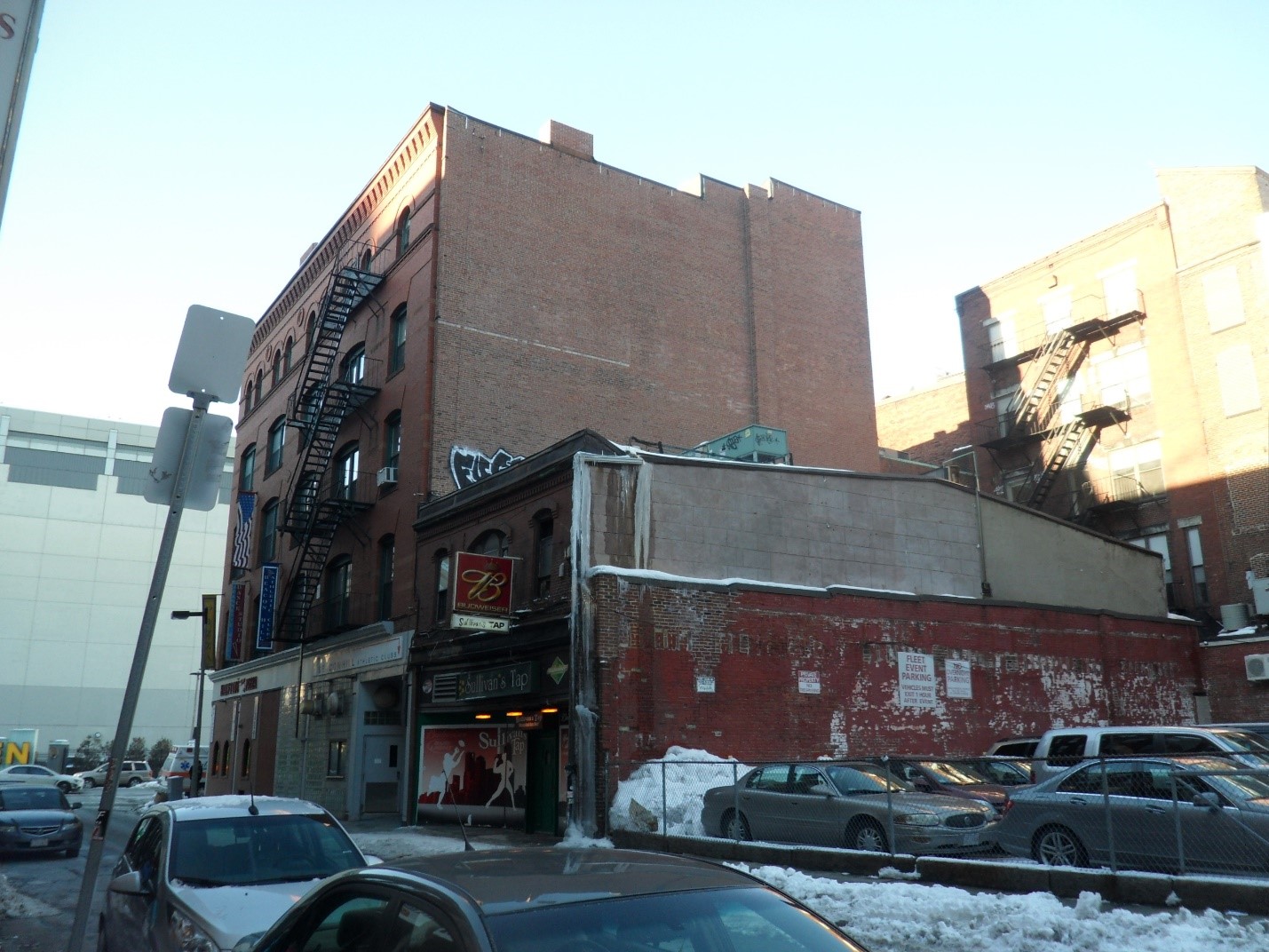
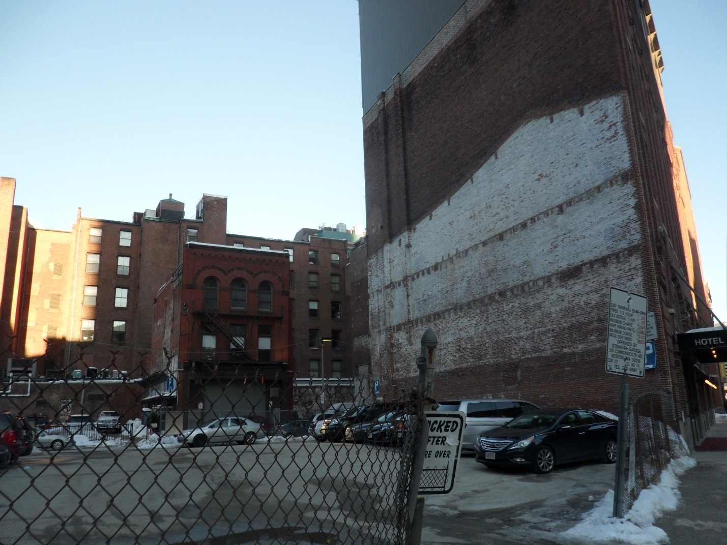
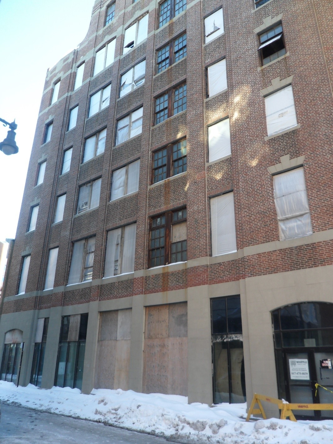
One of the most apparent features of this site is its age, both as compared to the surrounding blocks and the newer developments within. Many of the buildings still have their iron fire escapes, along with the occasional iron gate. It is immediately obvious where buildings had previously been knocked down, as they leave conspicuous gaps between the remaining structures, along with ghostly outlines on the walls of their neighbors. The upper levels of this site were surprisingly well preserved indicators of the original architecture, perhaps because on foot, the tight, narrow streets kept the 2nd, 3rd, and 4th stories above eye level. There are hints of painted signs on the walls of some of the taller buildings, worn away with time but without a proper removal. The Causeway-Merrimac site leaves hints about its old age through ignored and poorly maintained exteriors, with hints and clues lying just in the periphery.
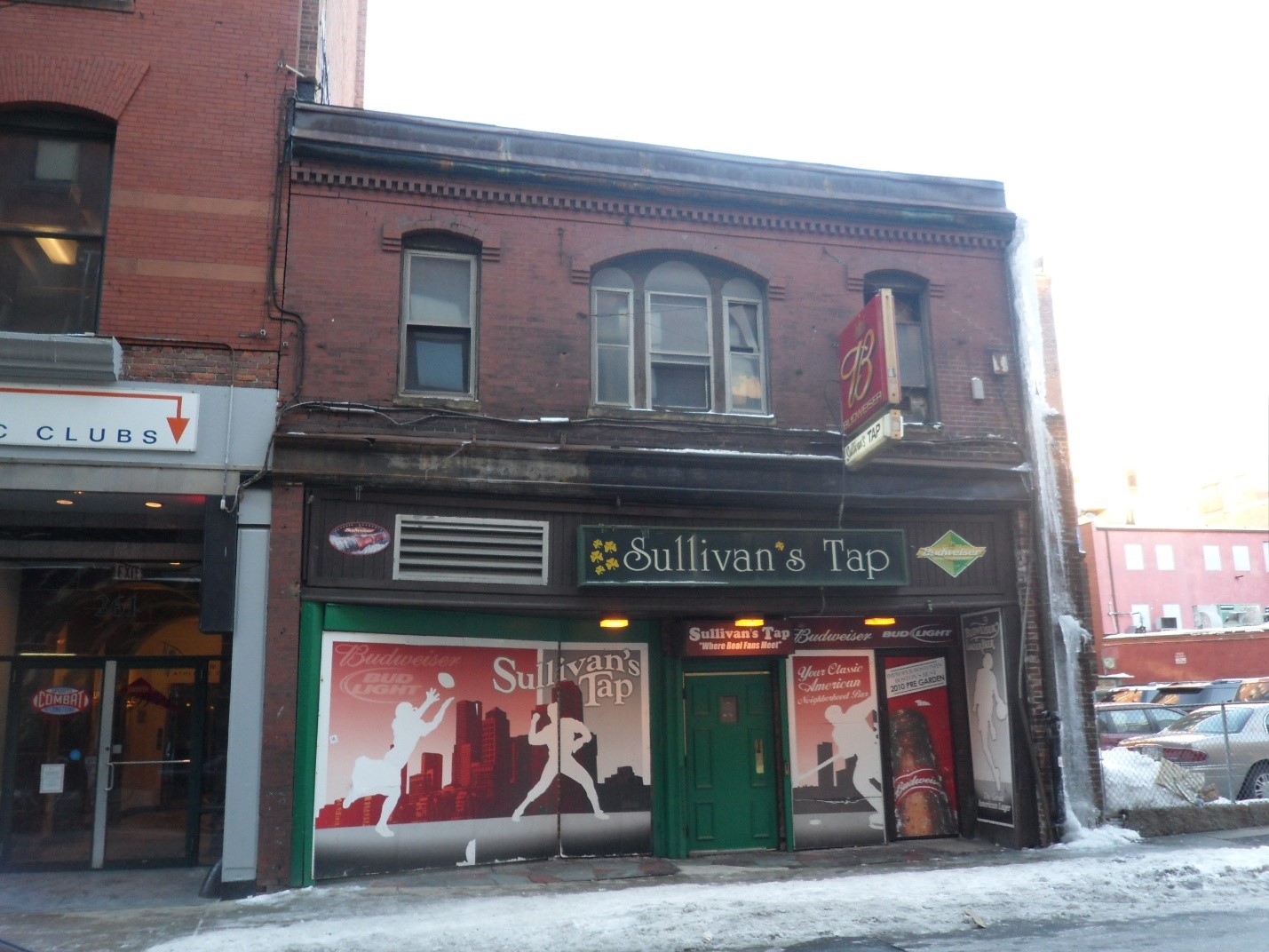
This site is an epitome district because it is such a dramatic reminder of the past in how different it is from the surrounding blocks, and how it shows architecture partly preserved in amber, with only the most heavily trafficked areas renovated. The first floors of the buildings are lined with fresh paint and new businesses, while the upper floors keep their aging brick. The buildings are miniscule compared to the nearby massive structures, and yet there are young people passing nearby. This area has not changed in step with its neighbors, which gives valuable clues as to how it has changed over time.
The influence of the nearby TD Gardens is apparent once you walk down Canal St. or Friend St. Despite the run-down appearance of the area, there are several traffic directors, who manage the passage of cars and the many young couples and their children on their way to the stadium. I counted three street vendors selling toys for said children, and many of the old buildings that had been torn down had become parking spaces, which somehow remained lucrative despite the massive Central Parking building nearby. Additionally, and perhaps most telling, are the multiple sports bars along Canal, Friend, and Lancaster St. Sports keep this site alive, but only to a bare minimum that is cost effective, whether that be through serving alcohol to fans leaving a game, or providing parking slightly closer to the stadium than the official parking lot.
This Causeway-Merrimac site clearly has a lot of history behind it, and I’m curious to find out more about how and why it was changed over time, and more importantly why it has not changed in many ways, remaining a pocket of old architecture surrounded by brand new buildings. This site represents “history all but covered up,” in the words of Grady Clay, and is thus what he would call an epitome district, “compelling evidence of present and future change” (38).
Bibliography
Clay, Grady. Close-Up: How to Read the American City. The University of Chicago Press: Chicago, IL. 1980: pp. 11-16, 38-65
"Boston, MA." Map. Google Maps. Google, 17 February 2014. Web. 17 May 2014.