My site is located south of Boylston Street between Dartmouth Street and Berkeley Street. It features Copley Square and continues through to I-90 (See figure 1). This area features varied land use including public space, a church, the tallest building in Boston—the Hancock Tower, commercial spaces, hotels, restaurants and a park. I was initially drawn to this area because of Copley Square’s architecture and open public space, but upon further investigation I became intrigued by the development of commercial space in the break between Back Bay’s grid and I-90.
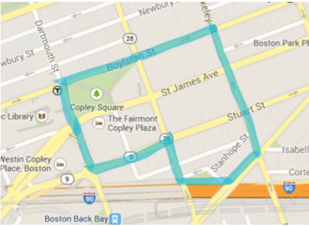 Figure 1: Site Boundary (from Google Maps)
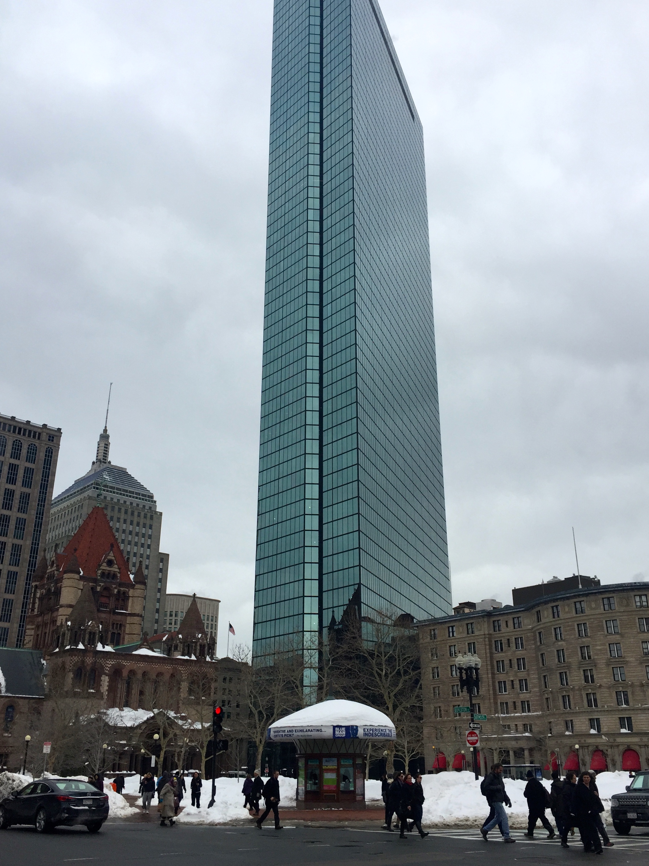
In true American form, the architecture in the Copley Square varies in style. In 1877, the Trinity Church was built by Henry Hobson Richardson in a Romanesque style. Reflecting the church is I.M.Pei’s 60-story glass paneled Hancock Tower—officially Hancock Place—that was completed in 1976, nearly 100 years after the church (see figure 7). These are only two of the interesting buildings in Copley; from the Square the Boston Public Library, Old South Church, the Berkeley Building, the Stephen L. Brown Building and the Fairmont Copley Plaza Hotel are also visible. The square once featured the Museum of Fine Arts, Massachusetts Institute of Technology, Harvard Medical School, the New England Museum of Natural History, Horace Mann School for the Deaf, Boston University, Emerson College and Northeastern University. This extensive list proves the land has traditionally been a source of educational and cultural influence. The City of Boston bought ‘Art Square’ in 1883 and developed the land to make Copley Square the marvel it is today.
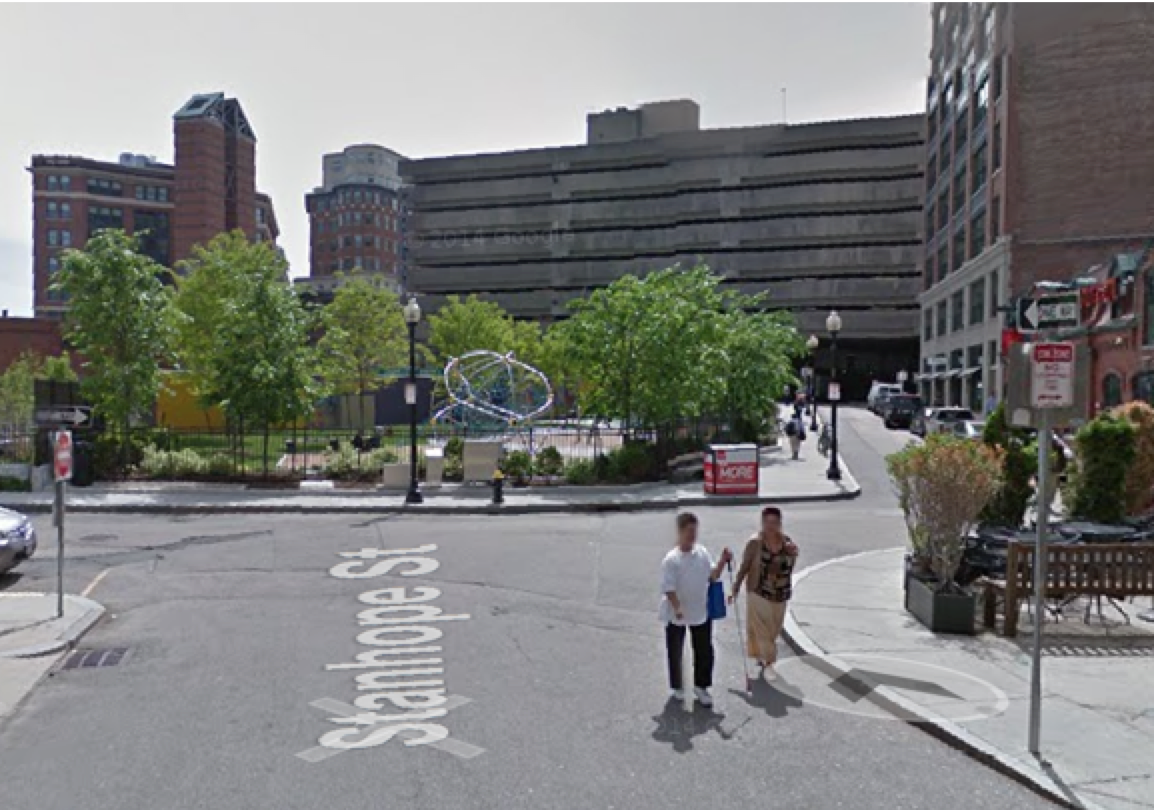 Figure 2: Edge of Site-- Facing Frieda Garcia Park (via Google Maps)
Beyond the square, the land uses of the site include office buildings, restaurants, and stores. The post-modern office building of 500 Boylston Street includes six floors of commercial retail development below its office space. Boylston Street boasts commercial storefronts including City Sports, Marshalls, and Bank of America. The area contains cafés including the Flour Bakery, Panera Bread Co, Stanhope Grille and the LL Barista. Some of the upscale restaurants in the area include Ticos, Post 390, Mistral, the Brahmin, the Red Lantern, and the Oak Room. Additionally to accommodate businesspeople and tourists alike there are hotels such as the Loews Hotel and The Fairmont Copley Plaza.
This area is situated on the outskirts of Back Bay, with a Green Line MBTA stop and six bus stops within in the site’s limits. Public transportation connects the area and makes it an ideal office location and alternate workspace outside of the city’s Financial District. The area surrounding the office buildings serves as, in Gary Clay’s term, a ‘venturi.’ No matter how developed our communication can become via internet and gadgets, business will always rely on the need to physically interact. This area is easy to access and is developed into an upscale area to conduct business and share ideas.
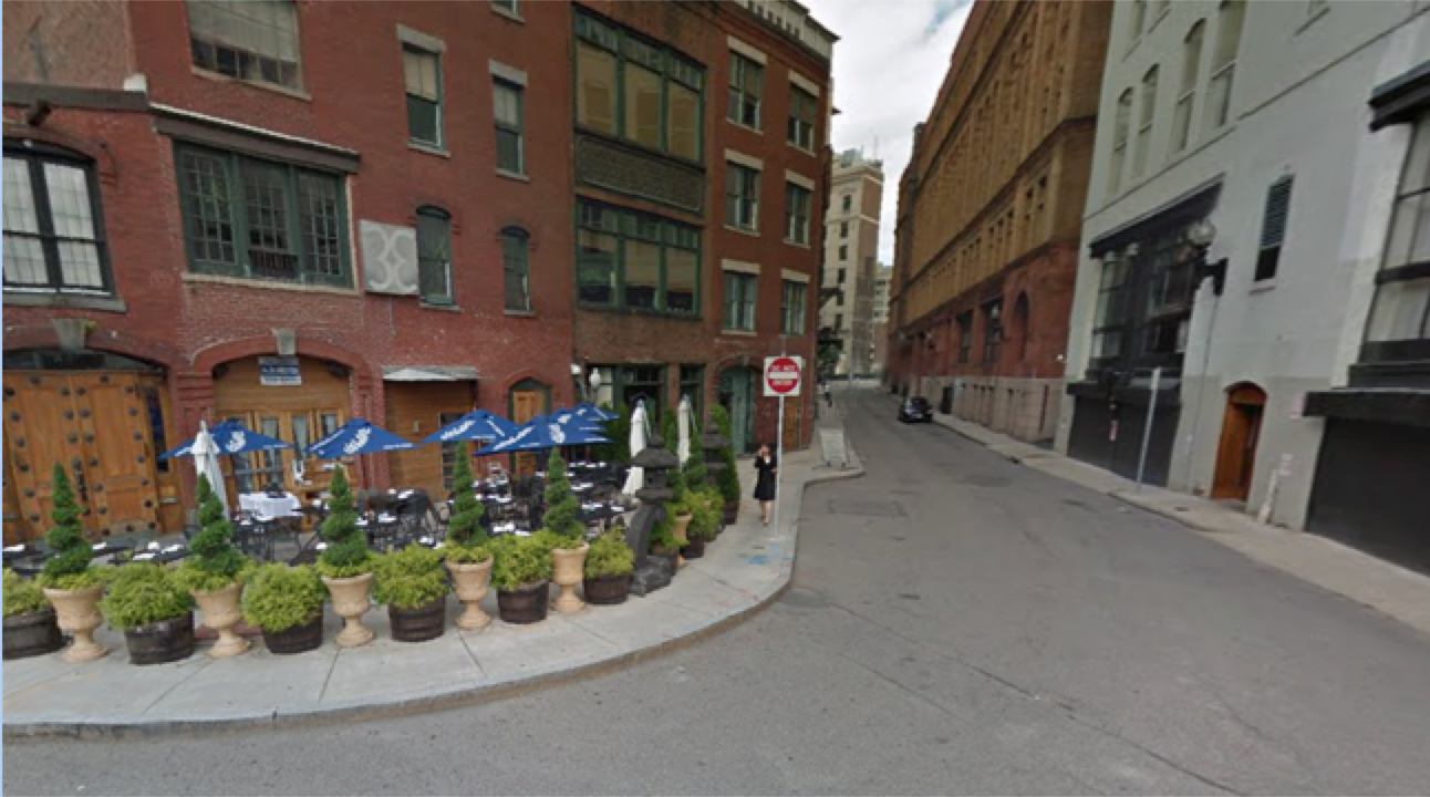 Figure 3: Edge of Frieda Park-- showing multiuse and styles of the site (via Google Maps).
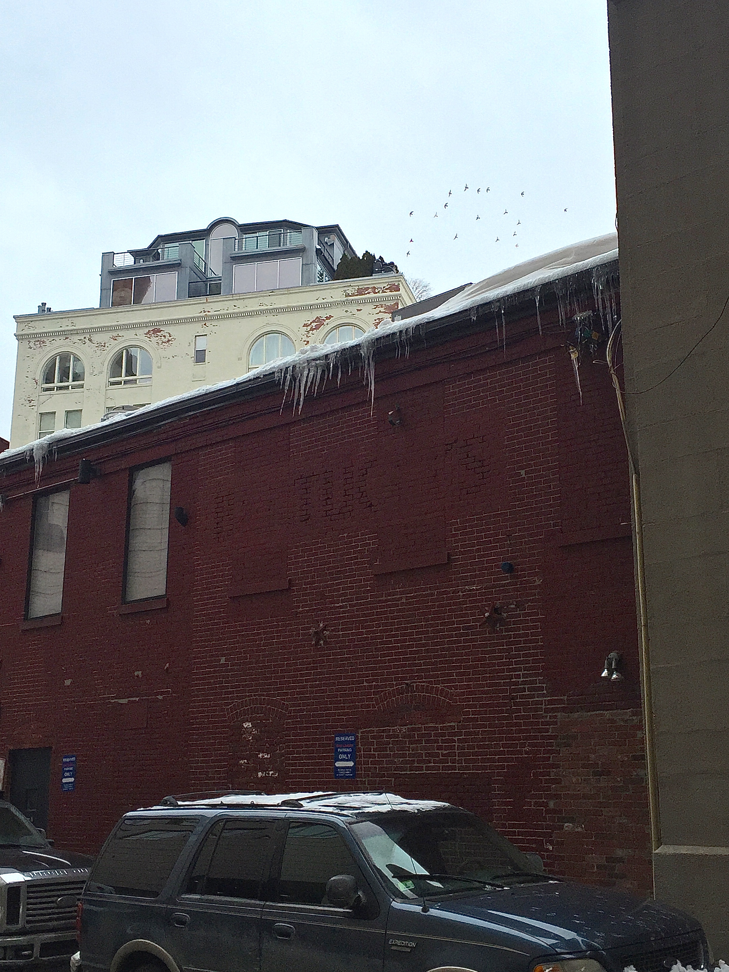 Figure 4: Evidence of facade change (via Google Maps).
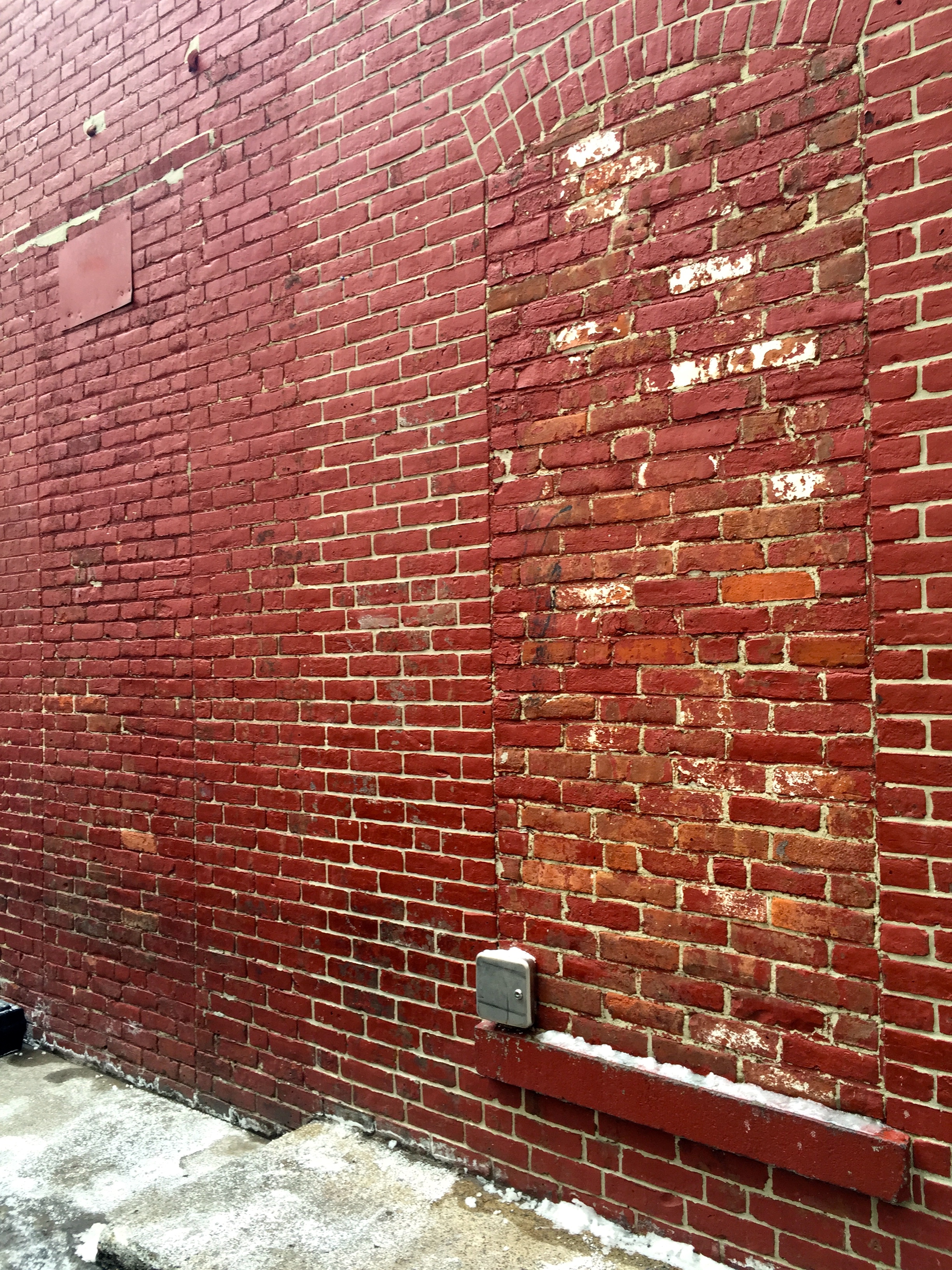 Figure 5: Zoomed in image of brick wall.
Looking at an aerial view of the site the grid layout of Back Bay begins to deteriorate after Copley Square(See figure 1). Route 9 and I-90 both disrupt the area’s order. The break in the grid, however, allows for interesting development (See figures 2-4). The development of restaurants and the Frieda Garcia Park in the lower section of my site particularly intrigue me. I had visited this area years ago, and even though I was sitting outside I failed to recognize my proximity to the highway. I am interested to learn if the developers were conscious of their unfortunate location and thus added the park or was it a happy accident?
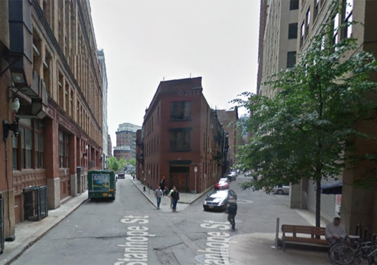 Figure 6: Break in Grid (via Google Maps).
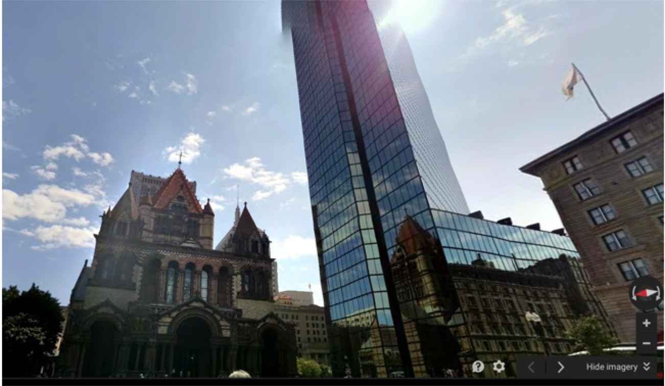 Figure 7: View from Copley Square of Trinity Church and Hancock Tower (via Google Maps)
Initially I was drawn to the public and open spaces in my site. What made the city determine Copley should be kept open? Did the city appreciate it the architecture? Did the city force the academic institutions out? Now I appreciate the open space. I can amble by the rabbit and hare statue, peruse farmer’s markets and admire the architecture; but at what cost? Who was displaced? What did it take to create this space? Clearly the space has been reevaluated and adapted over the years (see figure 3). It will be interesting to see how the city will continue to develop this area, especially now due to its historical importance after the Boston Marathon bombings in 2013.
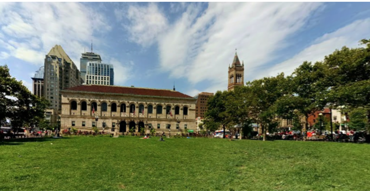 Figure 8: View from Copley Square of Public Library and Old South Church (via Google Maps).