 Broad Canal overlooking Boston
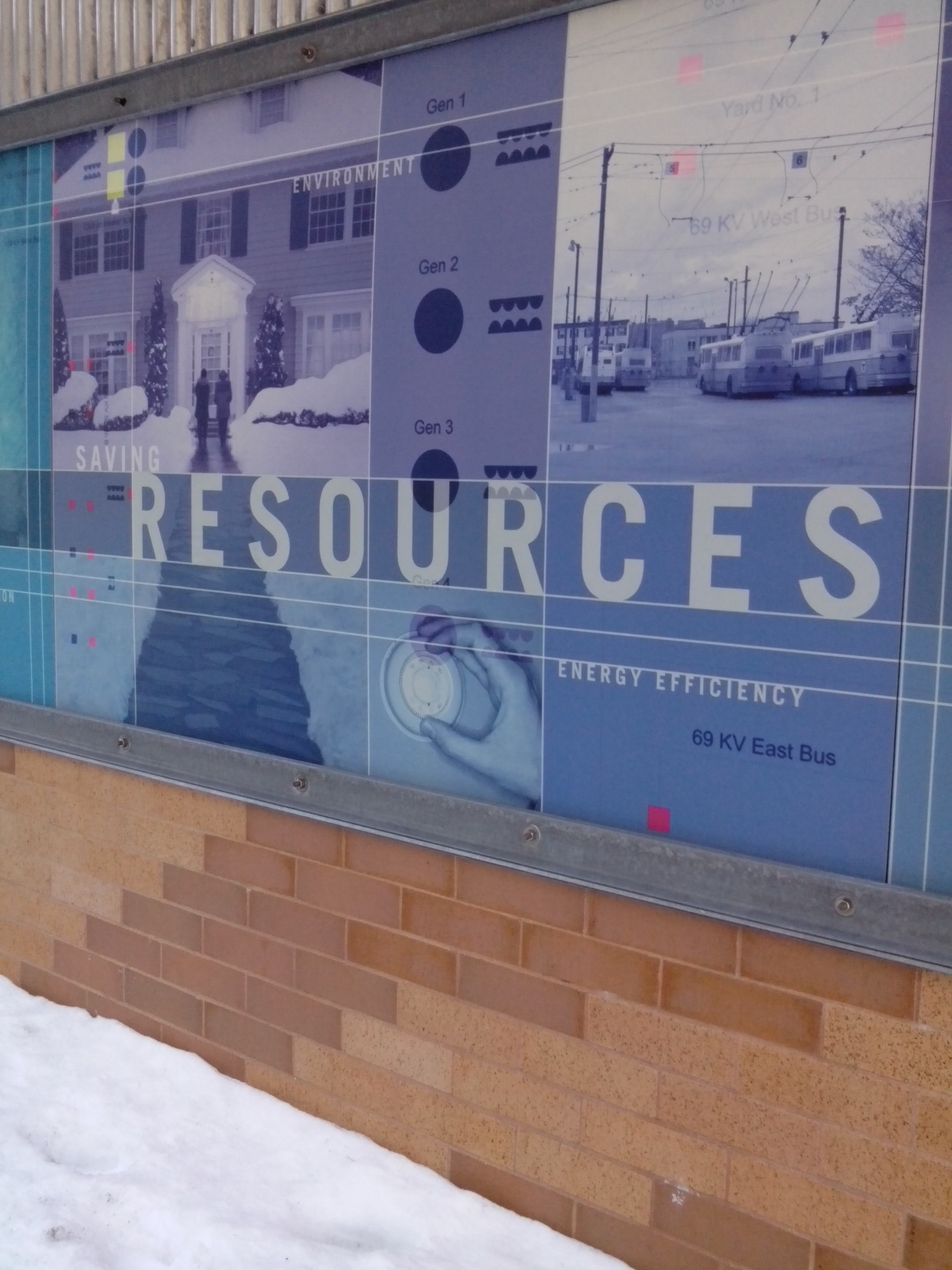
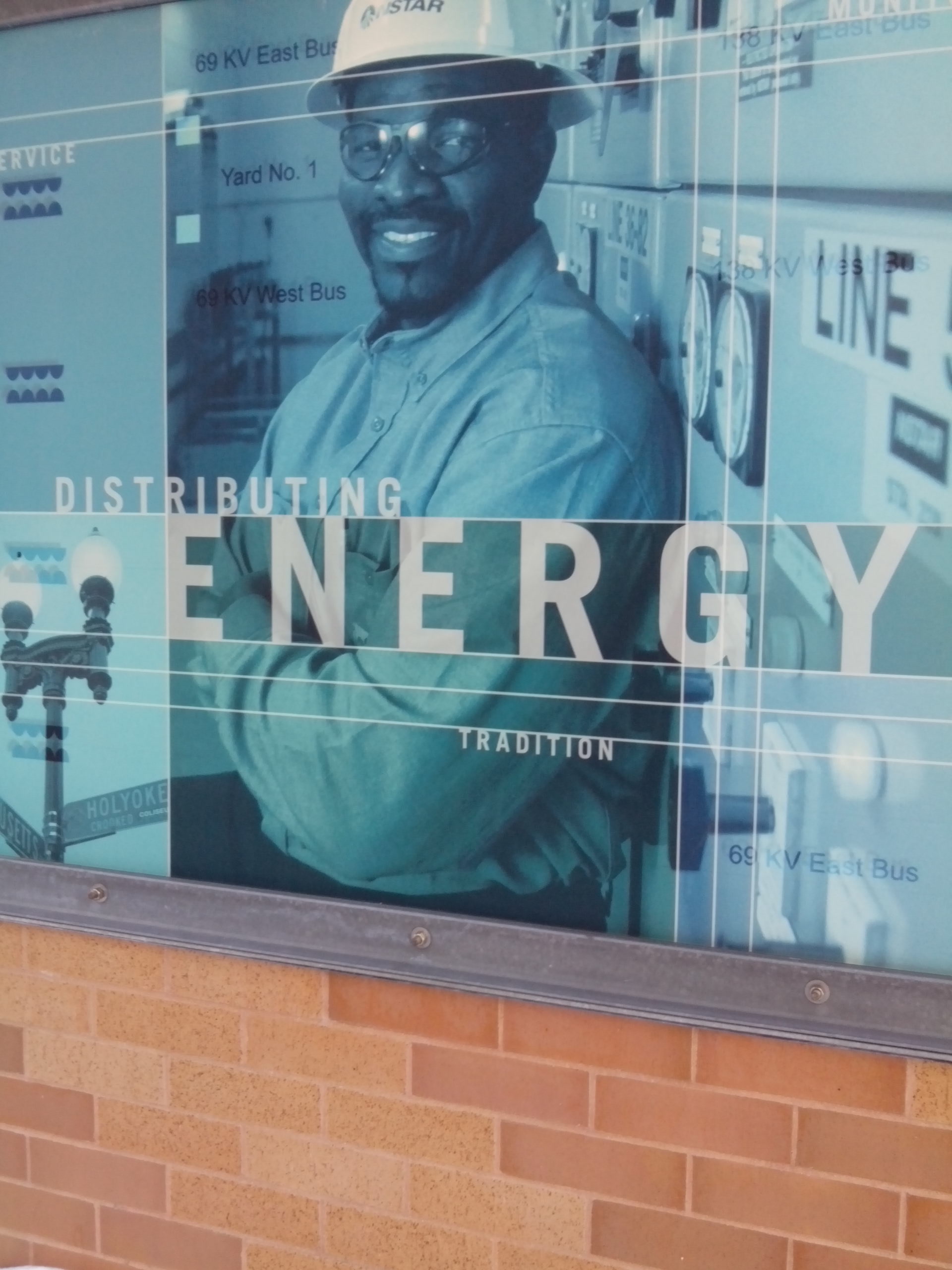
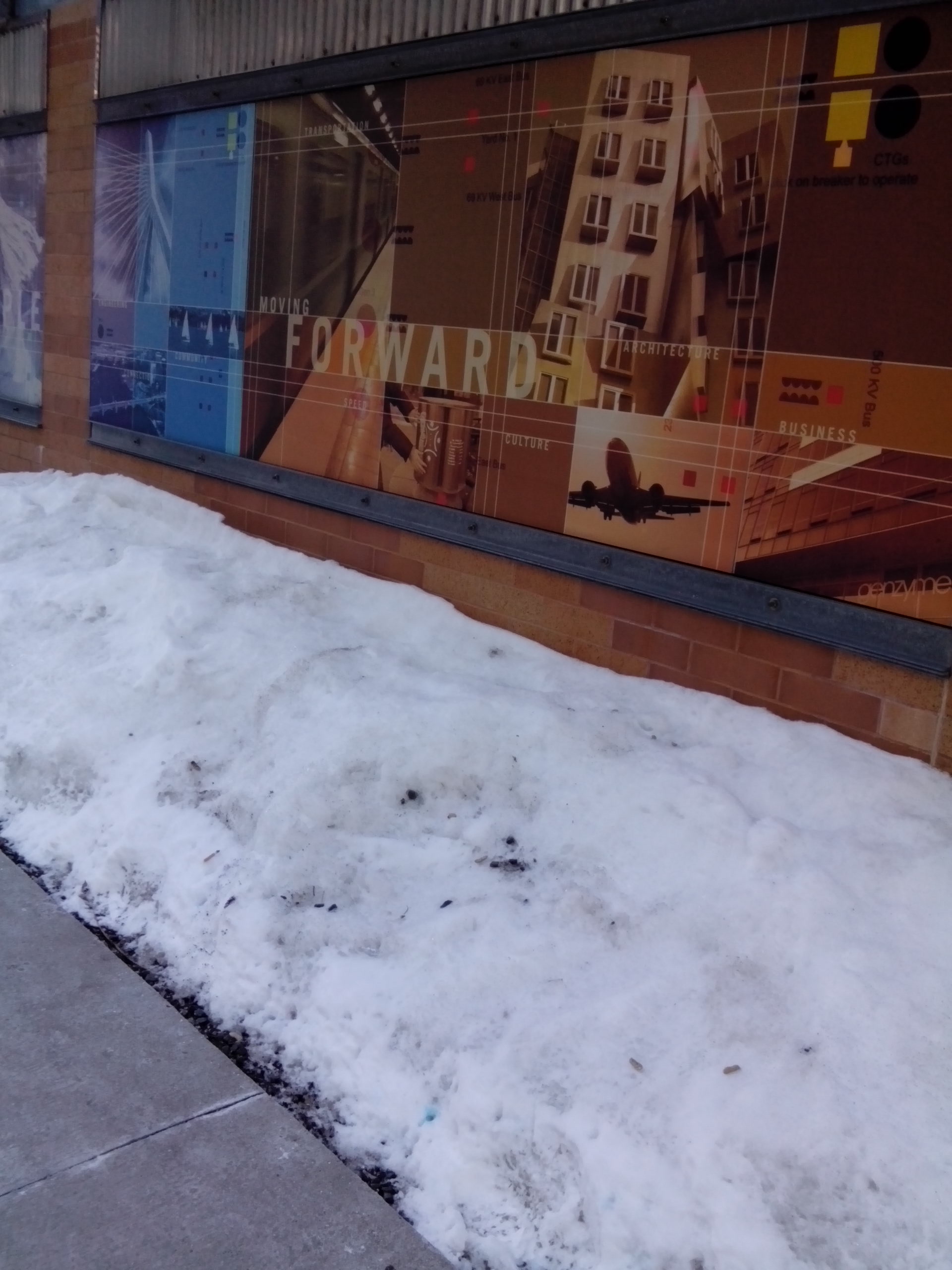
The key borders of my site are the Longfellow Bridge, the Charles River, Athenaeum Street, the Broad Canal Way and the intersection of Kendall and Potter/Kendall Square. When picking my site, water was a must. Water is foundational to all life and that is no different for humans, even if we think ourselves to be moving further and further away from the natural world. Thus, the way urban spaces interact with bodies of water is always noteworthy and the cities of Boston and Cambridge are great examples of this. I am very excited to have a site that includes two different bodies of water (in size, use, ect): the Charles River and the Broad Canal. I could have drawn a site that didn’t extend to the Charles. However, much of the area I have chosen has corporate and commercial uses and I’ve always been drawn to the more natural, recreational space the Charles provides in everything from its parks to boating and felt that could lend some balance to my site. It will be interesting to learn more about how corporate and commercial buildings such as Genzyme Corporation came to be and operate so close to the canal and the river. Besides, the waterways, my site excites me because of the presence of the ever buzzing Kendall Square and the Longfellow Bridge.
Earlier this afternoon (President’s Day) I spent some time at Kendall Station. Despite much of the square being buried under snow piles exceeding six feet in height and the painful chill in the air, the area, particularly the Kendall T station was packed with travelers. Kendall square is near one of the vertexes of my site and I feel like the constant influx of new people it floods the area with gives my space certain fluidity despite the set borders I have chosen. Kendall’s animation also comes to mind when I consider the strong influence MIT showcases there in everything from the COOP to the many tech related businesses in comparison to Central Square, which MIT is still making inroads into.
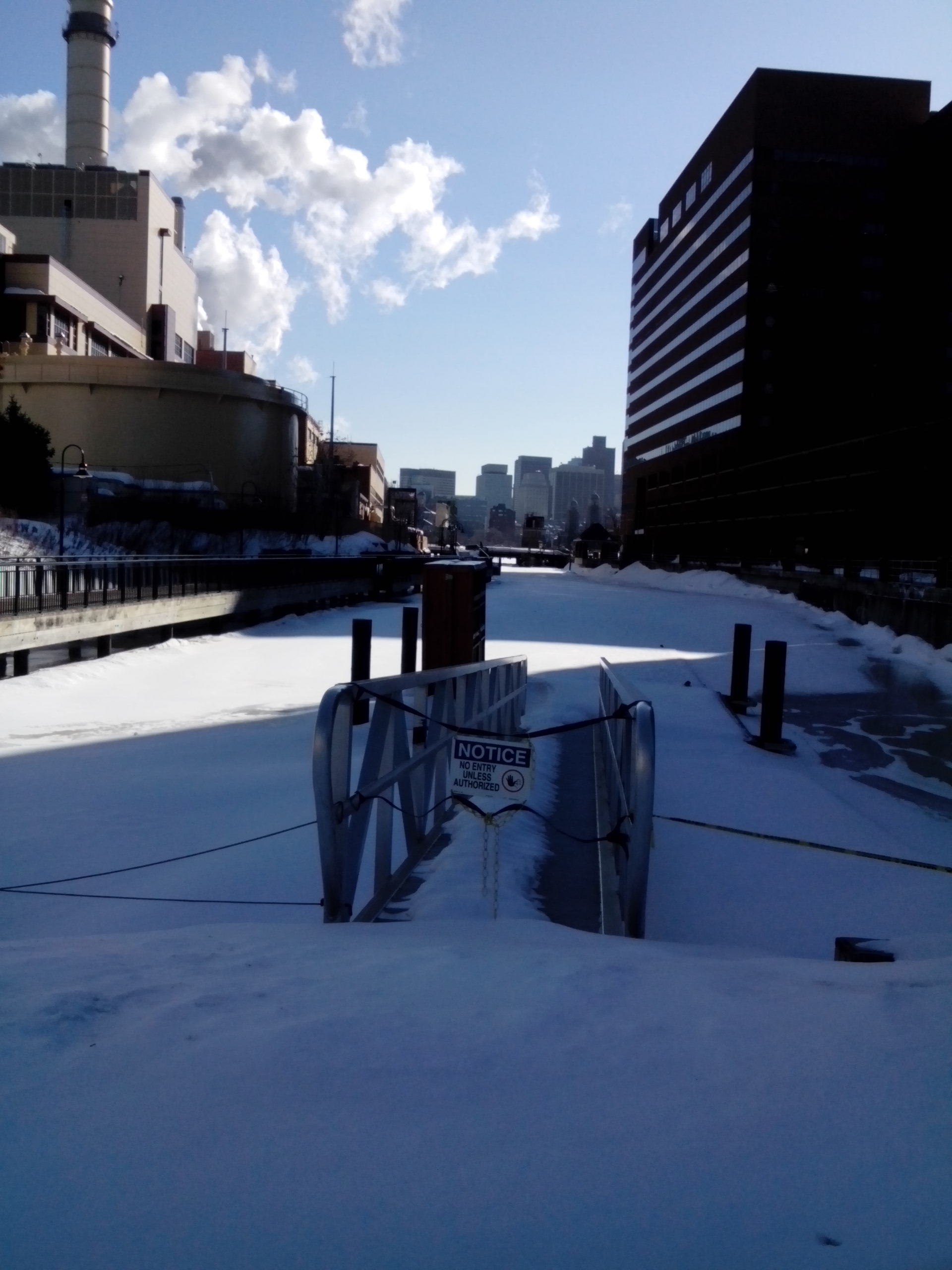
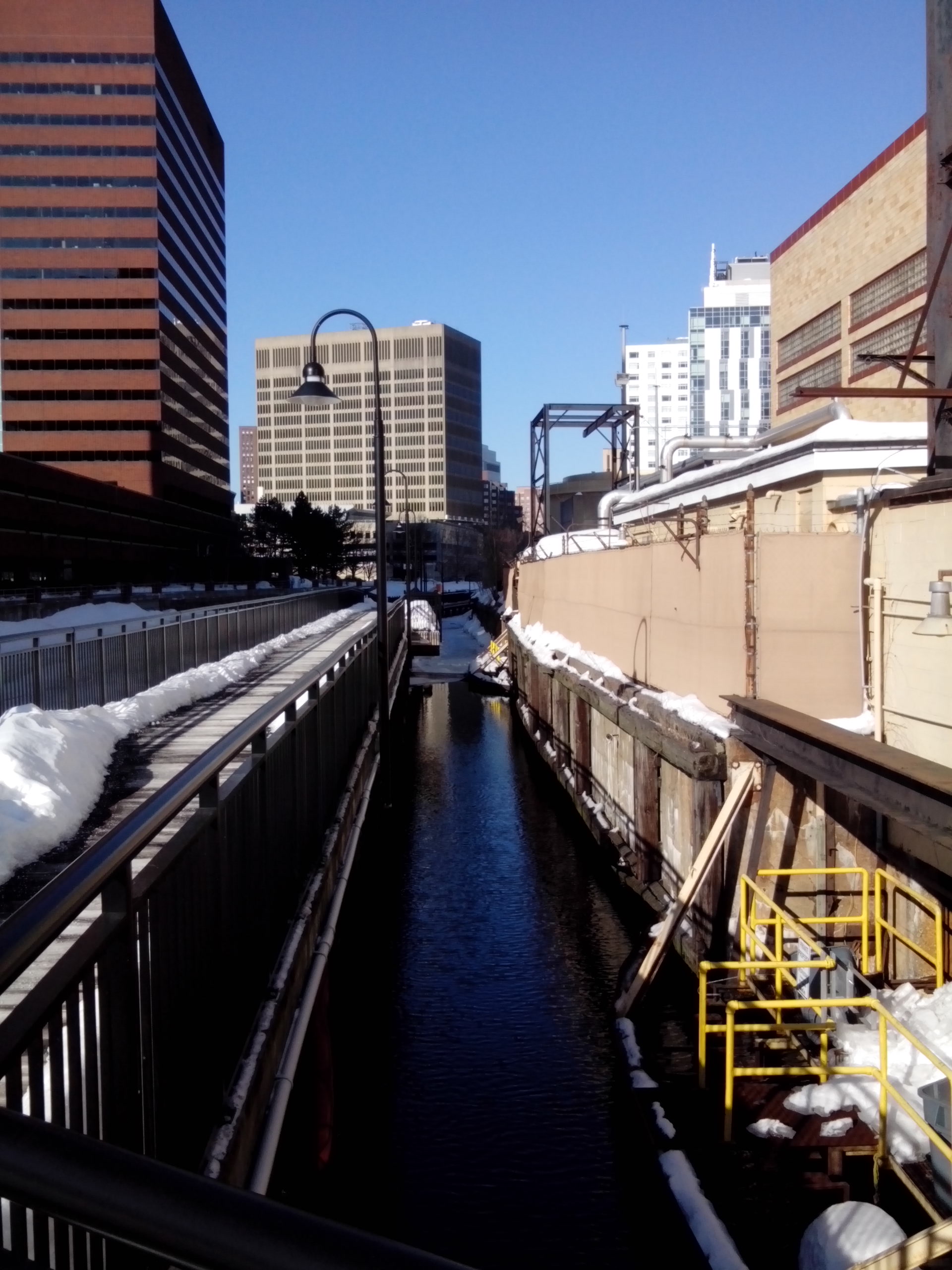 Broad Canal bordering Veolia building
 “A city’s energies falter or shift gears in predictable ways and places…A “break”, as I am using the term, occurs where there is an abrupt, visible switch in the direction and/or the design of the streets.” — from Close Up: How to Read the American City. I examined this idea in my second journal entry and return to it now because of the way First Street, Edwin H Land Blvd and the Longfellow Bridge come together over/near the Broad Canal. Most of my site is split up smoothly between Kendall and corporate spaces that flow smoothly towards the Charles, and while I don’t think this is a break in exactly the way Clay envisioned, the combination of roads, the Broad Canal and the Longfellow Bridge seem to smother each other in what is too tight of a space. I feel like this could complicate navigation and would also be a great place to study the way uses of land overlap.
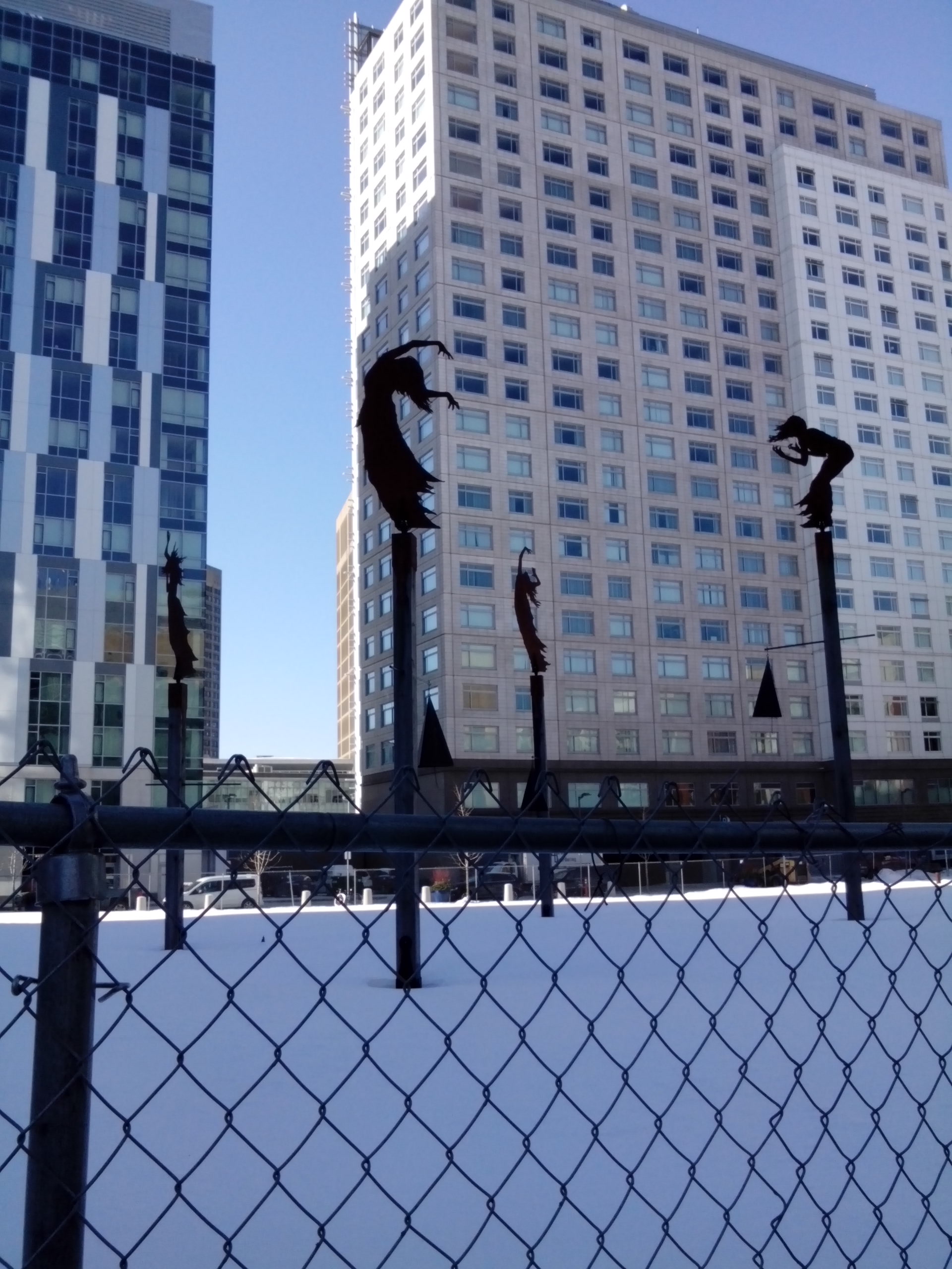 Las Furias by Pablo Eduardo at the intersection of Kendall and Athenaeum
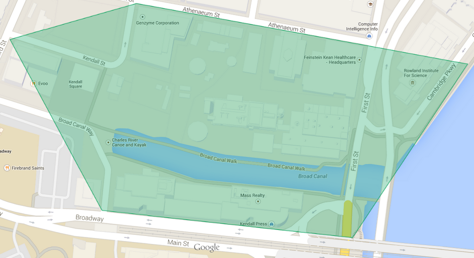 Map of site, courtsey of Google Maps
Another motive in extending my site to include that portion of the Charles is that the Rowland Institute at Harvard sits on that space. Considering that this MIT’s ‘side’ of Cambridge and we’re due to celebrate the 100th anniversary of MIT’s move to this portion of Cambridge, I thought it would be interesting to see how the Rowland Institute came to be here and the level of interaction they share with MIT.
My site covers approximately 21 acres of land and that seemed a little daunting at first, but after spending some time in my initial examination, I have realized that by living in cities for my entire life I have covered much larger spaces and I have the innate understanding and tools needed to read my site well. Organizing and connecting the variety of activities and uses within my site well develop my knowledge of MIT and the city of Cambridge as a whole.