
| 
|
|
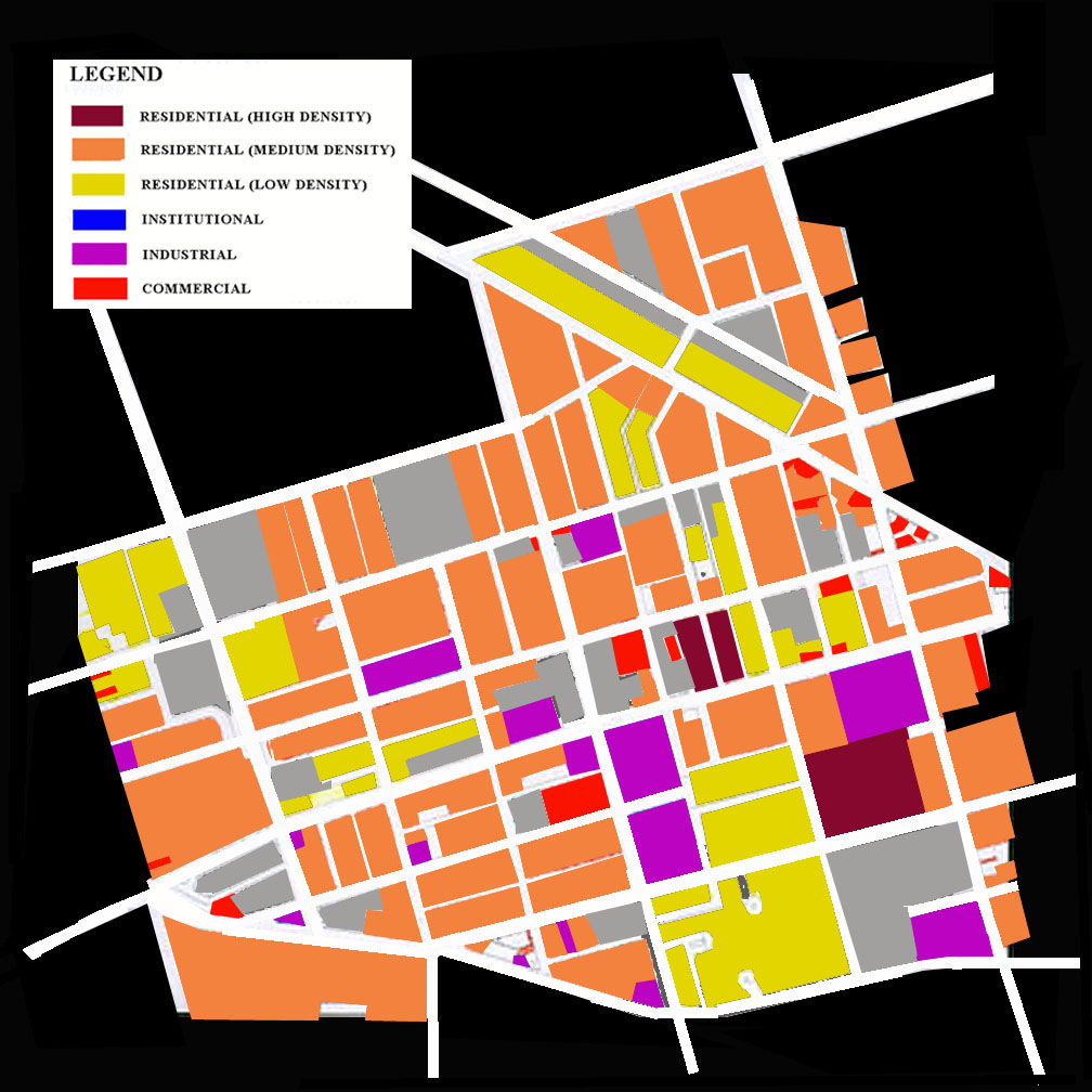
ANALYSIS Density type is assessed by overlaying three quentissential factors, which are vacant land, population and housing units per square mile. As soon as we overlay this map with the sewer line, Mill Creek and the low lying areas, a definite pattern seems to emerge. The low density buildings seem to follow the path of the sewer line. These residential areas were designed to be of medium density but because of various problems like subsiding of land, flooding and low maintainance, a lot of them have been abandoned. The only portion which defies this pattern is the housing group on the Aspen Street, the houses are well maintained and are neat.It seems that there is a lot of community bonding in that area. |