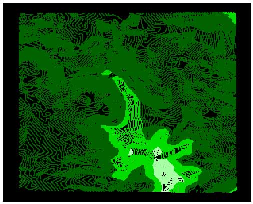
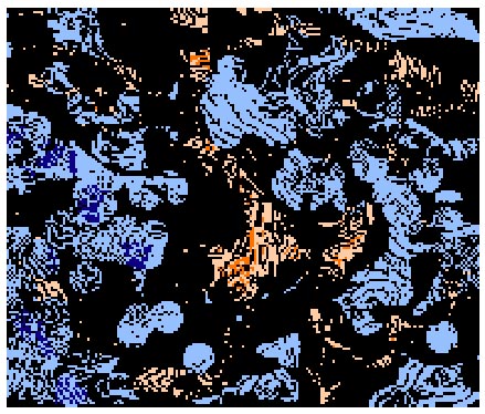
Mapping Mill Creek


Factor Maps

       
 Abandoned Areas  Peripheral Bad Roads  Depression Point  Stick ball Sites


Mapping Best to Worst Areas


This map is a combination of ten factor maps added together including the four above. I chose to show these four maps in particular as they were multiplied up to 7 times before adding them to the other maps. In creating the maps I reclassified , calculated and found distances to many of the base maps of the area depending on criteria that I chose.

I was most interested in remote areas. Sites that were off major access routes, were relatively quite, on unused land or industrial buildings- where a loud sound might echo through the streets. I was also interested in wet areas where water accumulates or has accumulated in the past. Stream beds, sewer pipes were included as areas with wetness around them.

I think that the more remote the site is the greater the challenge to the designer to make the place unusual. The design must capture people's imagination so that they will talk of it and make it worth the struggle to get there. Spaces of nature are difficult to find in Mill Creek; perhaps nature's movements are unrecognizable to some in the city and this unknown may be frightening. It interests me to play up on the scarier side of the natural world- work with people's fears- provide them with a challenge, more than just the challenge of playing golf. To have the site grow out of a wet deserted area seemed appropriate to my design ideas.


Alternative Sites


 The alternative sites, in white, are derived from the map above. I drew out the areas where there was a high concentration of dark orange and worked with existing roads and buildings to map out the sites.

Oddly enough, the highest concentration of orange was close to our planned site. I think this is because I placed special emphasis on the stick ball sites that were largest and on the abandoned land which was a combination of industrial buildings and vacant lots. As there are few industries in the areas and the land around our site in largely vacant, the results are understandable.

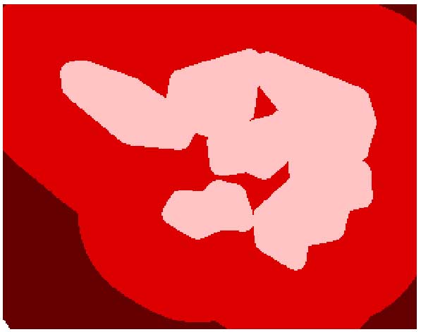
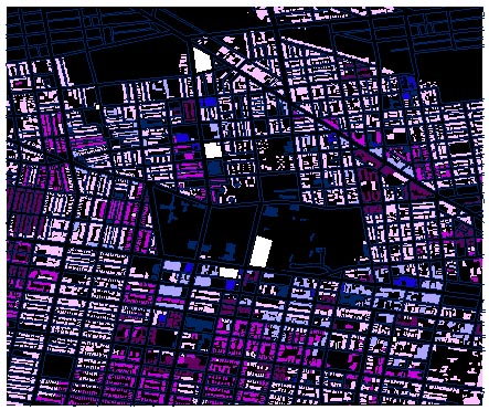
There are three alternative sites, the bottom site consists of two spaces separated by a major road. This one I am least interested in as it will hardly help in achieving my design goal.

The next one north on 48th street is the play area for the school. Again, This is not what I had in mind as it is near Aspen Farms and many of the houses in the area have front yards. This might work well if I wanted a more natural setting for my golf site. However, I want the transition to be abrupt when one enters the site.

The northern most site on 48th Street seems the best although I have not explored the area. It is closer to the train tracks (an area with industry) and it is off of Lancaster which seems to fluctuate prosperity wise from one generation to the next .


HOMEPAGE