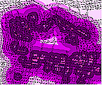
Aspect
Depressions
Flooding
Wetlands
SITING GOLF IN THE MILL CREEK NEIGHBORHOOD
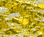
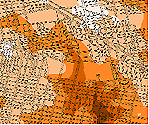
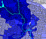
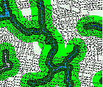
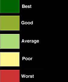
FACTOR MAPS: These factor maps were created from the base maps using the reclassify and find distance functions in ArcView. Each factor map was reclassified into five ratings from best to worst. On each map, the darkest shade is the best and the lightest shade is the worst for siting golf, according to my design and programmatic aims. For example, I felt that the golf course should be on a south-facing slope and therefore on the aspect map I categorized south as best, southeast and southwest as good, east and west as average, northeast and northwest as poor, and north as worst. I also felt that access is an important issue, and created a public transportation factor map by using the map calculator function to combine accessibility by bus and subway. |
|
|
|
|
Aspect |
Depressions |
Flooding |
Wetlands |
 |
 |
 |
 |
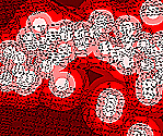
Commercial Areas |
Crime Incidents |
Public Transportation |
Lot Size |
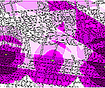
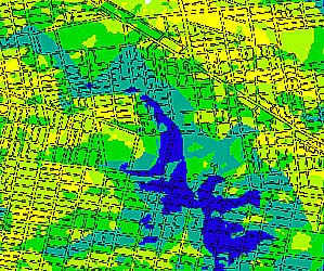
COMPARISON OF ENVIRONMENTAL AND HUMAN FACTORS: Two factor maps which are unique to the creation of my site suitability map are the Environmental Factors map and the Human Factors map. While I was creating the factor maps I noticed certain relationships among the maps. I also noticed that the factor maps I chose could be classified on the basis of whether they are factors relating to human or natural forces. The Environmental Factors map was created by combining aspect, depressions, flooding, and wetlands. I gave particular weight to depressions (5x) and aspect (2x) in order to locate a site that would collect water and have a south-facing slope. My main concern is that the course be located at a low elevation so that it can be used as a water retention basin. The Human Factors map was created by combining commercial areas, crime incidents, public transportation, and lot size. Public transportation was given twice the wieght of the other factors because I wanted to locate a site that would be easily accessible by people outside of the Mill Creek neighborhood. |
 |
 |
Environmental Factors: Best To Worst |
Human Factors: Best To Worst |
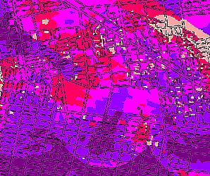
SITE SUITABILITY: This map was created by adding the Environmental Factors map to the Human Factors map. I made the environmental factors twice as important as the human factors. |
 |
 |
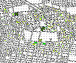
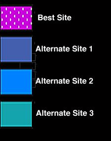
BEST AND ALTERNATIVE GOLF SITES: The best site was chosen based on the above suitability map. Although the alternate sites are not considered to be the most suitable in terms of the factors, these alternate sites may in fact be better suited for golf due to their larger size. I included the buildings and streets on this map so that the sites could be seen in the larger context. This exercise helped me learn just how much a map can be manipulated so that you can make it come up with the result that you want. I realized that to fully understand the results of a final map, one must know how that map was created. |
 |
 |