CONTEXT
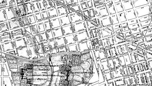
A 1868 map showing the adjacency of the site, which was once the pleasure grounds of the Pennsylvania Hospital, with the intersection of Lancaster and Haverford Avenues.
back |
next |
CONTEXTA 1868 map showing the adjacency of the site, which was once the pleasure grounds of the Pennsylvania Hospital, with the intersection of Lancaster and Haverford Avenues.
|
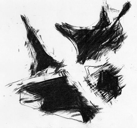
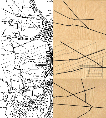
CROSS RIDGESA comparison of 18th and 19th century Philadelphia maps shows the intersecting ridge lines of Lancaster & Haverford Avenues. Running from a central ferry on the Schuylkill River, Lancaster Avenue follows an Native American Indian trail toward the northwest. Haverford Avenue meets the Schuylkill at the upper ferry and continues westward to the town of Haverford. This ridge crossing figures prominently in the configuration of West Philadelphia. |
|
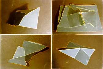
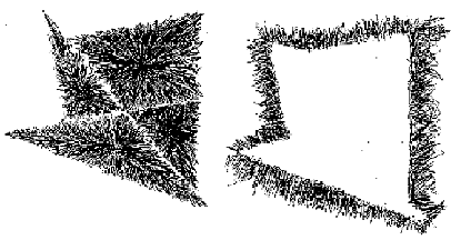
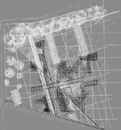
WATER SHED STUDIESThe figure of the intersection is taken as the form to create a new water shed on the site of the golf course. |
 |
 |
 GRIDS
GRIDS