
However, the basic topography or shape of the land remains the same. There are still ridges in Mill Creek that direct water flow.

The water in the sewer moves through the same depression that the water of Mill Creek moved through.

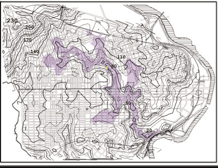
The numbers on the map are elevations or the number of feet above sea level. The highest point above sea level on the map is 230 feet. The lowest elevation is 20 feet above sea level. The elevation of Sulzberger Middle School is approximately 80 feet.
