Team 1 Home
Carly's Page Home
Definition of An A
My Work
Biography

by Kenneth J. Bird
in the USGS Open File Report 98-34
Intro:
- 1.5 milllion acres
- 105 miles east west, varying from 16-40 miles north south
- bounded on the west by Canning and Stains River, North by the Beaufort Sea, east by Archilik River, and South by township lines and approximately the 1000 ft. elevation contour.
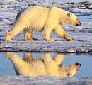
- 100,000 acres are owned by Native Alaskans (Kaktovik Inupiat Corporation). The village of Kaktovik, population 200, is in the 1002 region on Barter Island. Only village in ANWR.
- "Developement of Devonian to Triassic south-facing (in present-day coordinates) passive continental margin."
- "Northern Part- margin rifted in Jurassic to early cretacious time for an unknown parent continent"
- "Coeval with the North, and arc-continent collision occured in the south, producing and orogenic land mass and adjacent foreland basin."
- "As the foreland basin filled, continuing deformation resulted in a foreland fold and thrust belt."
- "Youngest foreland basin sediments, where fold and thrust belt intersects and overrides the earlier formed rift margin and when the deformatioin and related sedimentation continues to present."
- More geologically comples that anywhere in Northern Alaska.
- Part of the North Slope geologic provinces.
- Petroleum-prospective rocks aer restricted to mostly the Mississippiand and younger rocks.
- same as in Prudoe Bay and Mackenzie Delta region of Canada
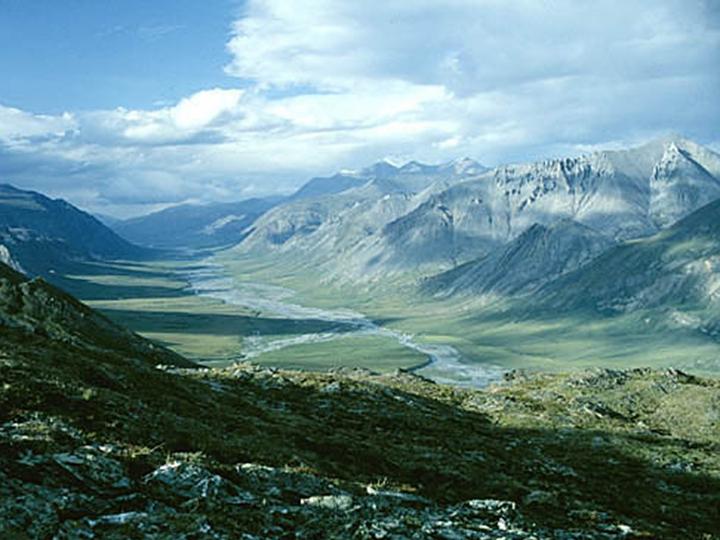
- Mostly lies within the Artic Coastal Plain physiographic province
- Area is treeless, tundra covered and 99% wetland
- foothills(95%), river flooded plains(25%), hilly coastal plains(22%), lagoons and oceans(5%), thaw lake plains(5%), mountains (less than 1%)
- part of small continental fragment call Artic Alaska microplate
- history-(contreversial) most hypothesises- Cretacous rifting and the opening of the oceanic Canadian basin of the Artic ocean.
- 95% covered by "a veneer of unconsolidated, frozen
sediments of late cenozoic (mostly Quaternary) age, generally less than
100 ft thick.