A Machine for Climate:
The House Beautiful/AIA Climate Control Project
1949-1952
4.4 | Availability of Data and Technology
Climate data from the National Weather Bureau, collected for use by the U.S. Military, became available for other uses in 1935. Combined with this were newer technologies such larger panes of glass, double-pane glass, and the possibility of wider cantilevers which architects were eager to employ.

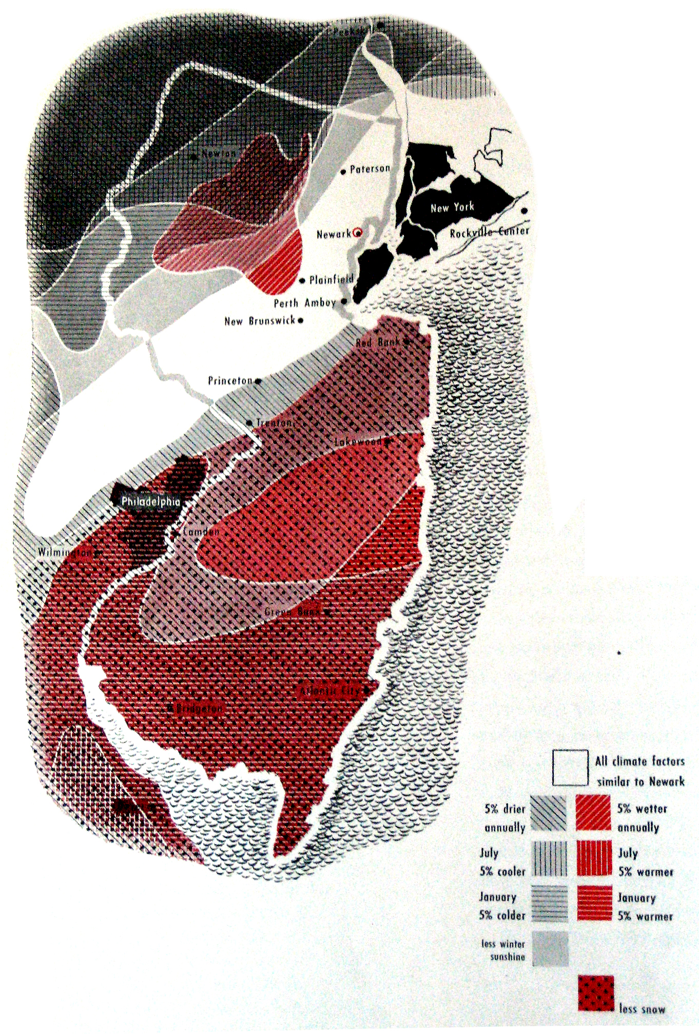
Maps such as these were included in both the AIA Bulletin and House Beautiful articles on a particluar region. This kind of map was the only diagram used in both publications. It details how wide this climatic region extends. It also details temperature differences according to urban and geological conditions within the region. A map like this accompanied each region the researchers examined.
Photographs of House Beautiful by author.