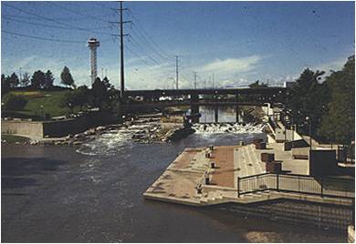
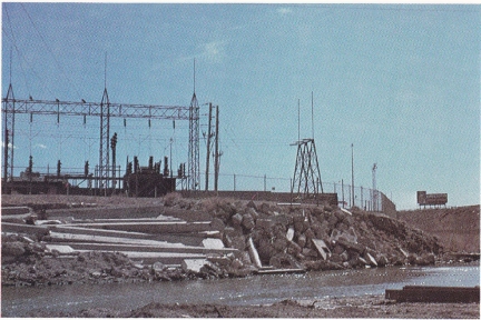
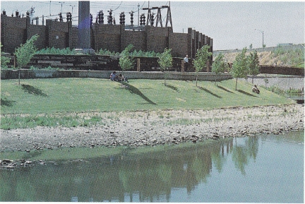
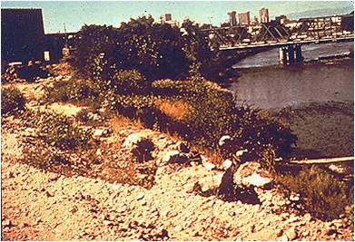
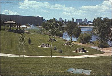
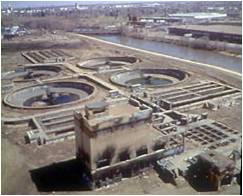
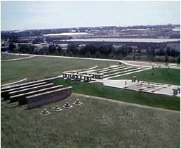
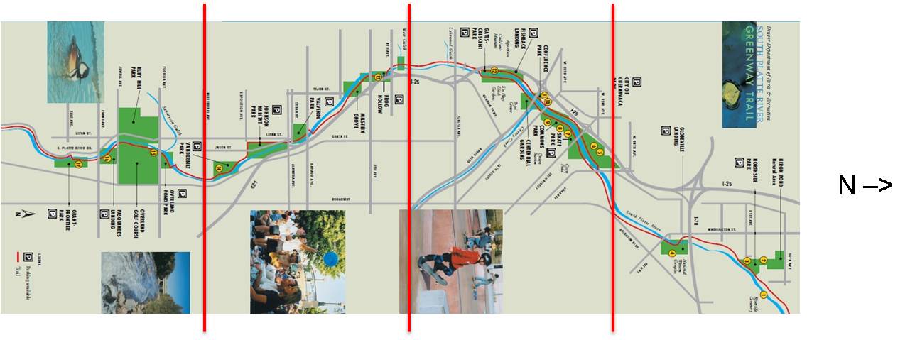
The PRDC could not make the PRG happen without partners both inside and outside of the city. The City of Denver was both a supporter of the greenway (i.e. the mayor’s office) and a polluter of the South Platte (the Department of Public Works had a long history of dumping into the river). Some bureaucrats from the city departments thought that the redevelopment of the South Platte should have been done “in-house” but once the PRDC was organized, Joe Shoemaker invited the city departments to get involved in (and take some credit for) the effort – which dissolved resistance on the part of the city departments. The Denver public was generally supportive of the undertaking but the media, remembering the past failures, was more skeptical - especially early on. With time, successes, and a little convincing however, the media became a strong advocate for the greenway. To help build support for the PRG, Joe Shoemaker gave tours of the South Platte River before, during, and after construction of the greenway to government employees, representatives of the media, businessmen, and, perhaps most importantly, potential donors. The 1.9 million dollars from the City’s revenue sharing funds was never meant to fund the entire project – it was only a seed. The PRDC needed to find other sources of funding if the PRG was to succeed. The PRDC had split the proposed greenway into four sections to allow four pairs of committee members and one engineering firm to focus on one section each (see image below) – but it was not until after the PRDC’s application for a Bureau of Outdoor Recreation grant was delayed by another Denver-based organization competing for the funds, that the PRDC decided to focus their efforts and available funds on the two northernmost sections of the PRG first. Beyond the funding constraints, the decision to do the northernmost sections first was influenced by the symbolic importance of the confluence of the South Platte with the Cherry Creek as the site of Denver’s founding and by environmental justice concerns - as the northernmost section had many low-income and minority residents and, being downstream of downtown Denver, was more severely polluted. Image adapted from Denver's Parks and Recreation websites (www.denvergov.org/parksandrecreation) In September 1975, the confluence section of the PRG was open to the public and by 1976, the northernmost section was as well. Although slightly awkward, some private donations were made to the PRDC - which was still associated with the city by its link to the mayor. With interest in the PRG growing daily, Joe Shoemaker saw a huge, growing, untapped potential private donor base. In order to attract the big monies (and the small ones, too) from these private donors, Joe Shoemaker created a 501(c)(3) non-profit in 1976 called “The Greenway Foundation.” This foundation was staffed with most of the PRDC members (who were members of both organizations until the PRDC completed its goals along the South Platte River and shut itself down). Besides the financial benefits of being completely disconnected from the City of Denver, the Greenway Foundation was no longer limited to just one river in scope - it could help create, lobby for, and fund greenways all over the Denver region along the South Platte’s many tributaries.
| ||||||||||||||||||||||||||||||||||||||
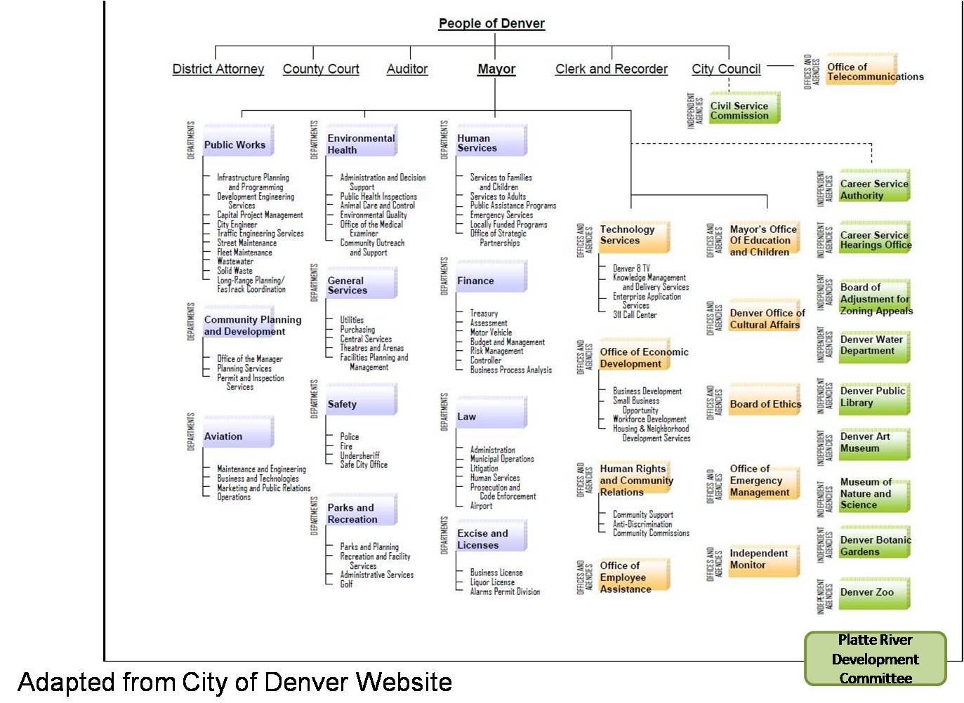
 Above
and below image from