|
Time Frame
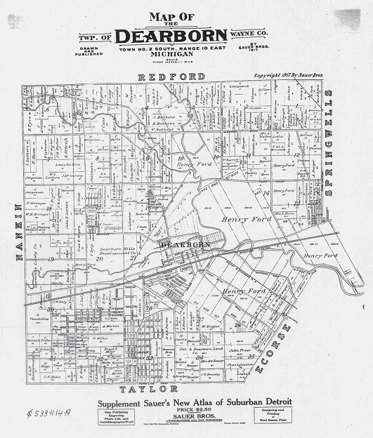
The city of Dearborn was first settled by Europeans around 1700 as a farming community. The area was still agricultural when the Henry Ford Motor Company constructed the Ford Rouge Factory along the Rouge River in 1918. The auto industry instigated a major population increase as people came to the city in search of work. The residential fabric of the city developed in direct response to the factory during the 1920s and again in the 1940s when the factory was used for making weapons for World War II.
Around when the Rouge Factory was built in Dearborn, Henry Ford bought almost all of the farm properties that occupied the center of the city. This property stayed in the hands of the Ford Motor Company through the rest of the 20th century, until Ford decided to begin its development as the Fairlane office park in 1970. Since most of Dearborn had developed decades earlier, the office park was a very different typology of lower-density development through a large swath of the city.
Expansive Area
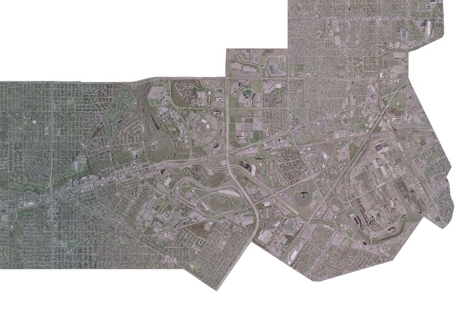
Dearborn covers about 24.5 square miles of land. Fairlane is a 2360 acre development, or approximately 15% of Dearborn. The office park occupies the entire central region of the city, stretching between the north and south borders, and spreading 2 miles across.
Organization
Fairlane was one of the largest single office park developments in southeastern Michigan. Ford has developed and sold parcels of the property over the last 35 years, but continue to structure its outward appearance through a code agreement that determines the standards and boundaries of landscaping throughout the Fairlane development.
Daniel Ballnik is Ford's environmental control engineer, with an education in environmental studies and geography, and has helped manage the landscapes of Fairlane for the last 27 years. He is involved in wildlife habitat mitigation, sustainable landscaping programs, and coordinating community ecological restoration projects. The combination of Fairlane's expansive area and centralized landscape management and design pose it as an important part of Dearborn and the larger metropolitan region's natural and urban systems.
The Urban and Natural Context
Examples from Fairlane
Reasons Behind the Fairlane Projects
Evaluations
back
|


