Programming Work quickly analyzing images
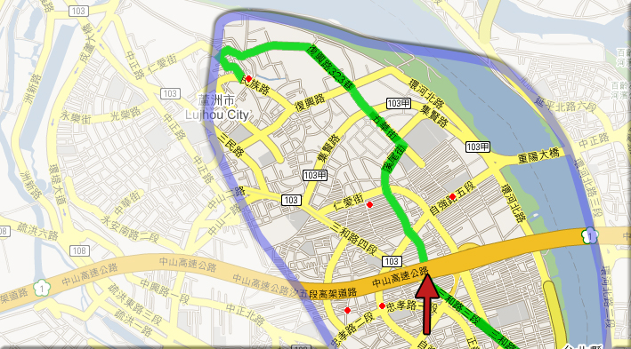
Working with the Smart Cities group, I noticed that some of the image analysis we were doing could be done much faster using a custom program to extract the needed data. Using a few short scripts written in python, I collected data point in the form of latitude/longitude coordinates from images of Taipei city containing blue squares showing the locations of convenience stores.
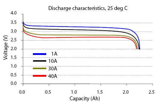
Another way that custom programs can help the data analysis -- but on the Roboscooter project. There are many dependant and independant system that govern the power consumption of the scooter. A detailed analysis of this information can speed the sucessful integration of the power management system into the scooter.