About MIT Geodata Search
The MIT Geodata Search Tool
allows you to search and retrieve data in MIT's
Geodata Repository. This repository holds
boundary and statistical data from all over the
world. Use
the
Geodata Search Tool to find data layer(s), than add
the layer(s) to your ArcView project. Once you
open
the layers in ArcView or ArcGIS you can perform
analysis or download the dataset to your computer.
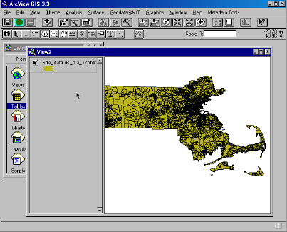
Massachusetts block group file found using Geodata
Search Tool.