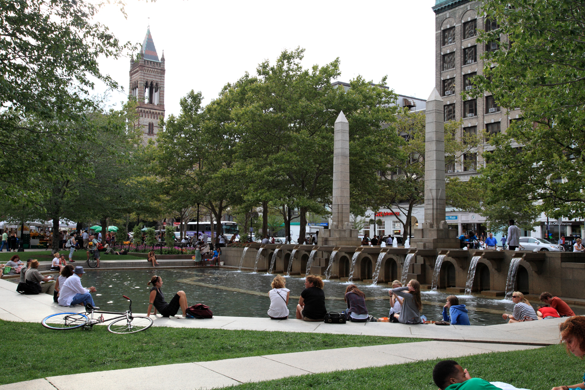
 An Image of the popular square in the summertime. Photo courtesy of Wikipedia Commons.
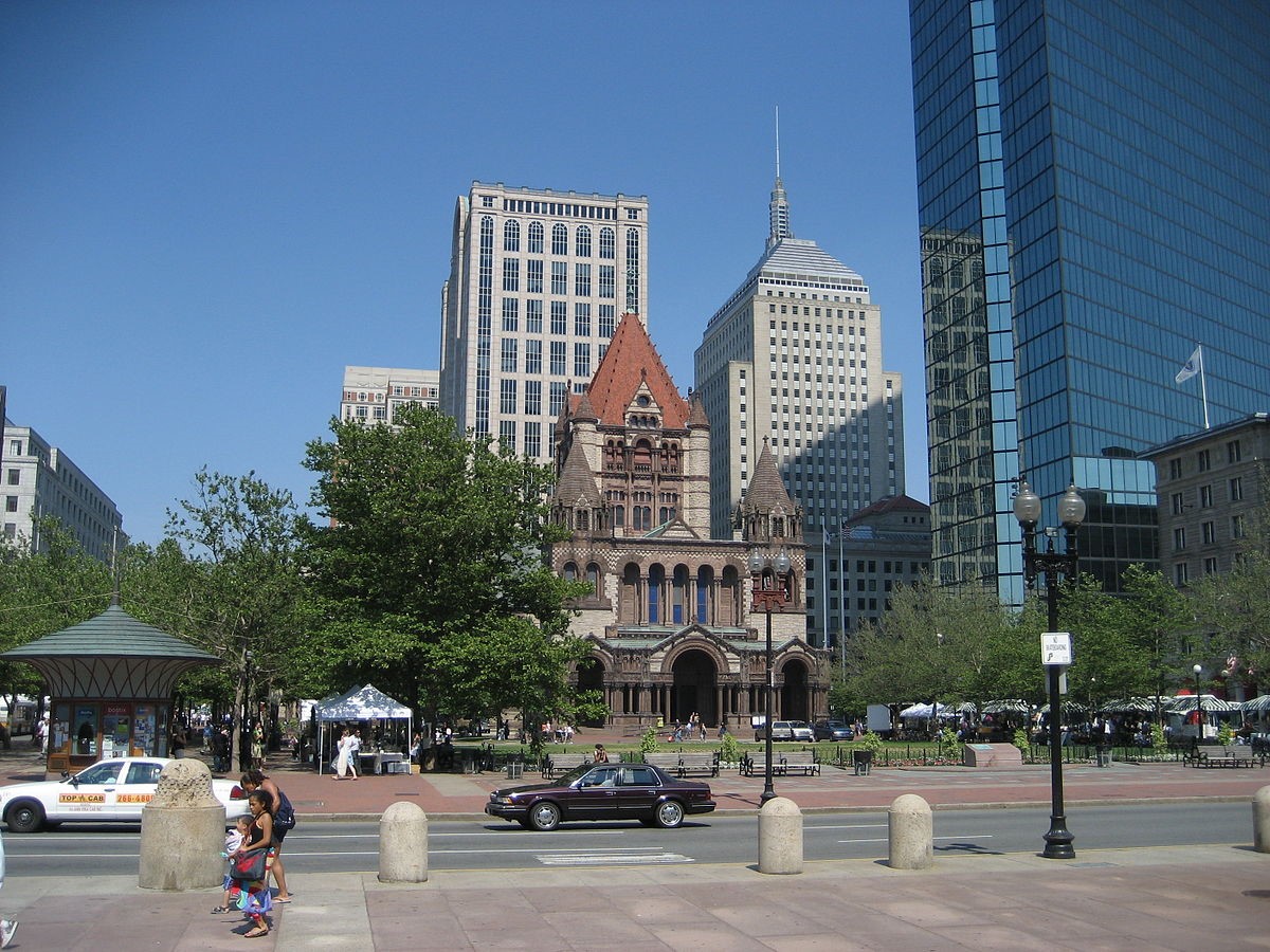
The area that I’ve decided to study as my site was one of the first recognizable city centers of Boston that I visited. When I came upon the green square last spring, I didn’t know that this was a hub of the city which I would hear about countless times again. The reason that the place stuck in my mind was because of an interesting main architectural focus of the square. I didn’t realize it until I looked back for the spot, but the grand church that stands facing the city blocks is known as the Trinity Church and the space is known as Copley Square. Upon returning to the site in the middle of a snowy weekend, there was definitely a little less happening around than I remembered from the warm weekend in the spring, but the area was no less as impressive. What drew me to this site as a place to focus my project was that it brings together the juxtaposition of a notable historic church and equally impressive modern skyscrapers. I wanted to find a site that was both architecturally intriguing and culturally rich, which now that I have observed a few city areas, go hand in hand in this area. The site is a highly traversed park because it has a variety of uses. The block of city that I chose encloses the Boston Public library, Fairmont Copley Plaza, the Westin and numerous businesses and office buildings. I would consider this space an “Epitome District” as Grady Clay defines it in How to Read the American City. Copley Square is visited by tourists but also becomes a gathering space for residents and natives, seeing all sorts of activity throughout different times of the year. The part of the city is home to a lot of culture, a good deal of history and thus becomes a quaint representation of Boston as a whole.
 View of Trinity Church from across the square. Image from Wikipedia Commons.
Even more enticing about this plot of land is that it features one of the key anomalies of city decoding that Grady Clay stresses in her piece. The square grid pattern typical of city blocks is broken up in a few different ways. Firstly the green square which is the main point of the site is a break in the pattern of skyscrapers and city blocks. This offers the opportunity for an unusual pattern of land use, and makes me question who intended to leave that square there and why it was a green space there in the first place. If the main focal point was always the Trinity Church, how does the church fit into modern day Boston?
 .
.
The other break is due to a main avenue crosscutting the bottom block on the map. The high-end hotel situated in this triangular city block was certainly a site that put this structure to use, with noticeably different architecture and presence of the building’s entrance. I thought that this break would be worth some looking into since one side of this highway leads into a tunnel down to interstate highway 90, and the other begins a main avenue across the city. I am particularly interested in infrastructure patterns and will be investigating the history of this addition and the effects on the areas around it. This historic square has definitely seen some changes over time, likely encouraged by the advancements in transportation and population in the city of Boston.