Day 5
 |
 |
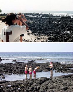
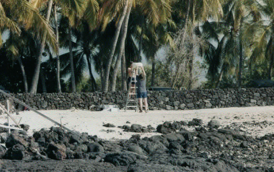
Groups were deployed along the coast of Koloko Bay located in the Koloko - Honokohau National Historical Park.
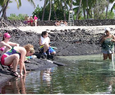
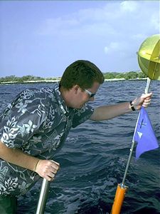
They meaured chemical nutrients and conductivity along the coastline of the bay. Another group (by the ladder) tracked the drogue deployments by radar and mapped them and the currents on a computer. Four people offshore on a small boat deployed the drogues and used GPS to measure their speed and direction.
 |
 |
|
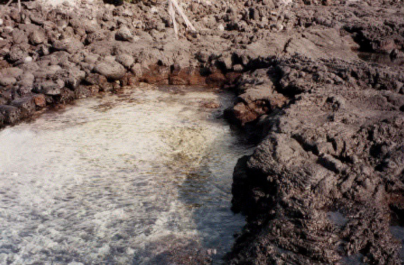
The water has odd
lighting due to large amounts of freshwater input into the bay, which
alters the water's index of refraction.
|
Mounting the radar
on top of the ladder
|