Abstract
| Groundwater
subsidence poses a significant challenge to the City of Boston.
Most buildings
constructed in Boston prior to 1920 are supported by wood pilings.
When groundwater levels drop below the level of the pilings, the
wood is exposed to air and pilings rot, which can lead to building
collapse. Over 2,000 acres in Beacon Hill, Back Bay, South End,
Fenway, Chinatown, Bay Village, and parts of the North End and
Charlestown are exposed to this risk.
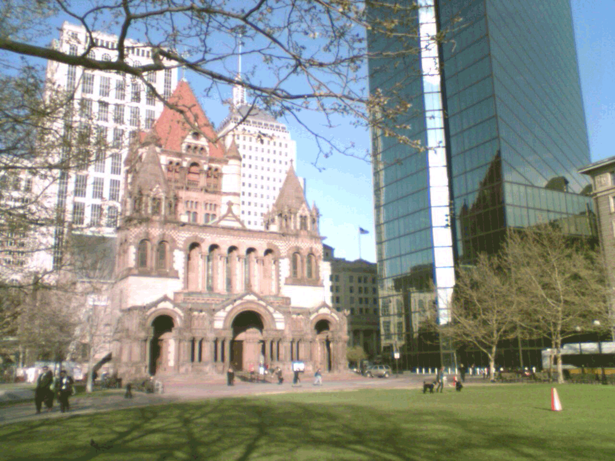
Infrastructure developed in Boston over the past century has permanently altered the flow of groundwater. The largest sources of groundwater loss in Boston include sewers, drains, subways, underpasses, building foundations, other structures below the water table, and pumping from sumps. Although the significance of groundwater subsidence is well-known, no former policy has been implemented by the city in order to prevent future subsidence. This project examines the development history of Copley Square in order to better understand the relationship between groundwater and development in Boston. Copley Square is surrounded by several significant sources of groundwater loss. Moreover, because Copley Square is built entirely on filled land, buildings in the area are especially susceptible to lowered groundwater levels. Using Copley Square as an example, this project will answer the following questions:
|
 |
|
|