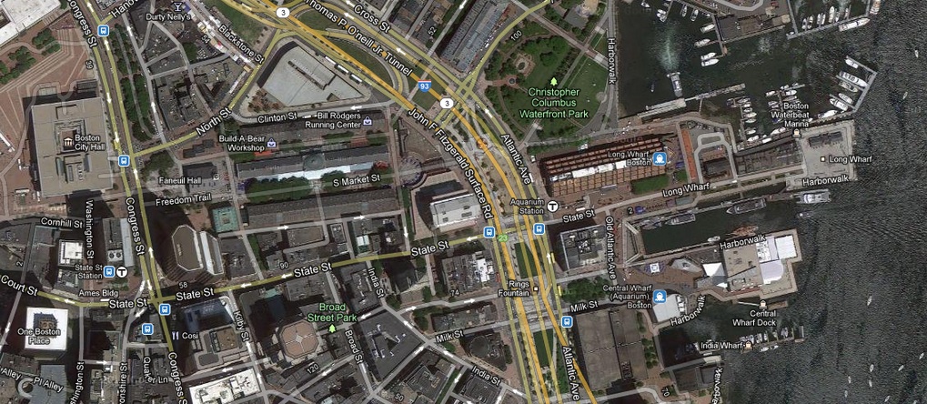
 This is a view of my site from Google Maps
For my site I have chosen to do the area that stretches from the Long Wharf through Faneuil Hall to the Old State House. The boundary of this site extends from the waterfront west along State St. The border loop around the Old State House and then proceed north behind the Citizens Bank building and around it heading east again, cutting right through the Faneuil Hall Marketplace and the Greenway until the border hits the waterfront again. The site is made up of a long thin strip from the heart of Boston to the harbor.
I chose this site based on a few factors. First off I think that it is a very lively and diverse part of the city. It is currently very commercialized, but I can’t help but think that the floors of buildings on State St. must have some apartments among them. Most of them look to be pretty old, maybe build in the 1890s or first half of the 20th century. I am also sure that more than a few are used as lofts. But then again, this area also has a significant amount of history surrounding it, and they could be used for offices instead, especially being so close to the water. This part of the city must be prime real estate.
It is both of these that drew me in. I love history, and I knew that the central parts of a city are constantly changing, especially areas that are highly visible to the public like my site it. I feel like learning about how Boston changed and renovated one of its prime public spaces and the surrounding neighborhood will be able to give me a window on the progression and development of the city as a whole.
I know that for Boston, the harbor has always been a huge part of the city, giving many people a livelihood well into the 19th and 20th centuries. I also know that a large portion of the site I have chosen has been created through landfill projects throughout the years. Yet I can still see that there are still a number of historic buildings in the area, which means that some of the landfill must have happened early on in Boston’s history. It’s this uncertainty about what let to the expansion of the city and creation of the land my site sits on that really intrigues me. I want to know what it was originally intended to do. How many times has the site been renovated and had its purpose changed? I also want to know how the “Long Wharf” got its name, since it seems to be just as long as any of the other wharfs in the area.
With the North End so close to the site, I also cant help but think that the area might have originally been very similar to it in the past, before it became commercialized. Maybe it started off as a residential neighborhood for fishermen, but as Boston grew it became the city center, and now has transitioned into what it is today, with a good portion of it dedicated to public use. I hope to be able to figure out what exactly did happen that made this part of the city what could arguably be the heart of the city. Another interesting facet to look into would be how the buildings have changed in their uses throughout time. I have a feeling that the Faneuil Hall market place did not begin as a commercial shopping mall. I also noticed that this part of the city has fairly straight and regular roads. When one heads south of State St., the roads begin to haphazardly splay out. This makes me think that the whole of the area surrounding the site has had a history of planned developments, but only time and research will be able to reveal the true history of my site to me.
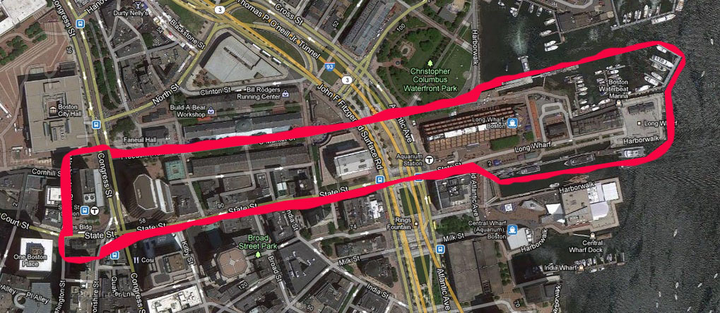 . The Borders of my site