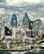
As everyone knows, there are several skyscrapers which create skyline of Philadelphia in central city. People can see them easily in anywhere outside of central city and go toward them to downtown. People trace the location of those huge landmarks, follow the direction and don’t get lost. I think landmarks play an important role to identify areas.
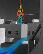
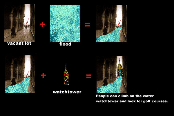
I would like to create several water watchtowers, 6 floored height, on heavy flooding location which is analyzed by ArcView System in West Philadelphia to connect four miniature golf courses. People can climb on it and view from a height to see whole area around the towers. Then they can find where the miniature golf courses are and follow the direction to get there by themselves freely. The reasons why I want to create watchtowers are that first let people who lives in West Philadelphia or who comes from other areas be familiar with this environment. Second, due to those watchtowers, the city fabric of West Philadelphia can be built strongly. That means those watchtowers can be landmarks of West Philadelphia. Third I place the water watchtowers on the locations where can easily gather flood because I want to take advantage of water to be an important element of landscape.