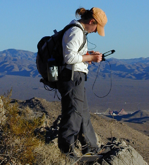
FALL
The Fall course consists primarily of an introduction to field
geology and the field area with its geological context. Introduction
to digital mapping techniques also takes place with sessions
devoted to Geographic Information System (GIS) training. By
the end of the semester, each student will have a fair understanding
of the GIS and various ESRI softwares (ArcGIS, ArcPad). A few
mapping daytrips to local areas complement classroom instruction.