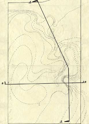
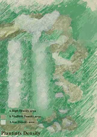
Planting Density
| Planting Density varies according to the style
of the unit. The natural layout has a high density planting with high trees,
and a number of small opening to the sky. As we move along the course, the
openings become larger, and surrounded by the vertical planting elements.
At the last part of the course the plants become almost nothing but a barrier
to define the deferent spaces allowing a maximum exposure to the sky. |
|
|
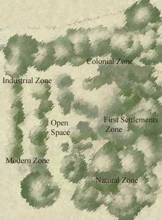
Schematic Planting Plan
| In the planting design I kept the large plants
at the northwestern corner of the site, and the good plants at the swell
north of the site. Large plants site screeners, shrubs and ground covers
are interwoven and layered to represent the diversity of nature in the first
set of holes. As we move along the diversity decreases and more of aliened
plants show up, in curve lines at the beginning and in straight lines at
that the urban zone. Voids in the green masses are to indicate the and highlight
the holes. |
|
|