 |
Human-Use AnalysisMassachusetts Bay Transportation Authority |

| Introduction |
| Closer Look |
| Experience |
| Summary |
| Conclusion |

|
||||
Trying out the T! |
||
|---|---|---|
I am a relatively new user of the T; I moved to Boston 6 months ago and have only used it a few times before, usually with guidance. Therefore I thought it would be perfect for me to test out the T and see how it compared to my normal mode of transportation to do my errands (mainly walking, biking, or getting an Uber). For my T experience I took the bus, transferred, and then took the subway to my destination. |
||
| Subway | ||
 |
 |
 |
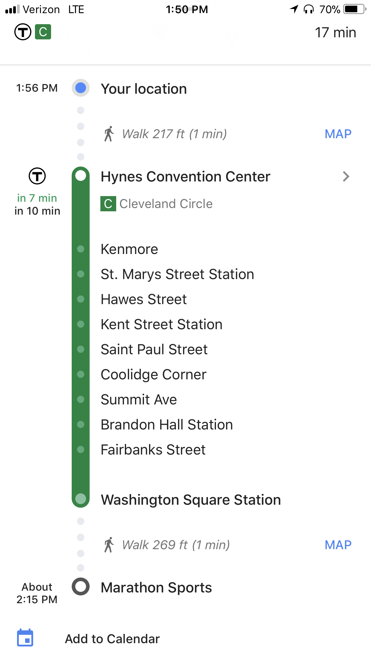
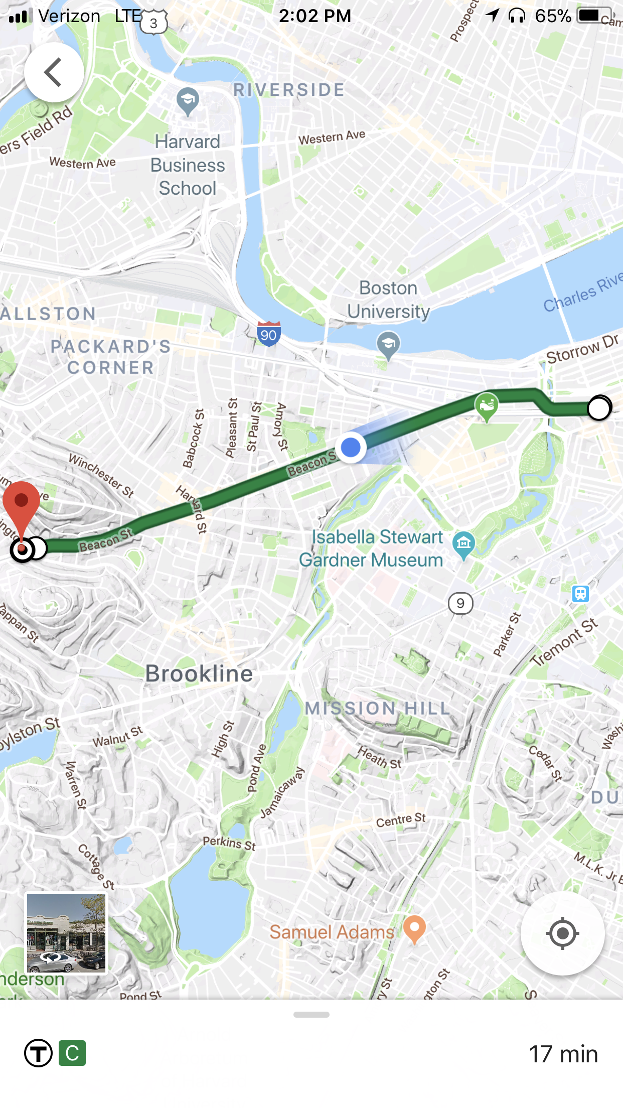
1. After I got on the train I checked my Google Maps and saw that I had 10 stops to travel, ending at Washington Square Station. |
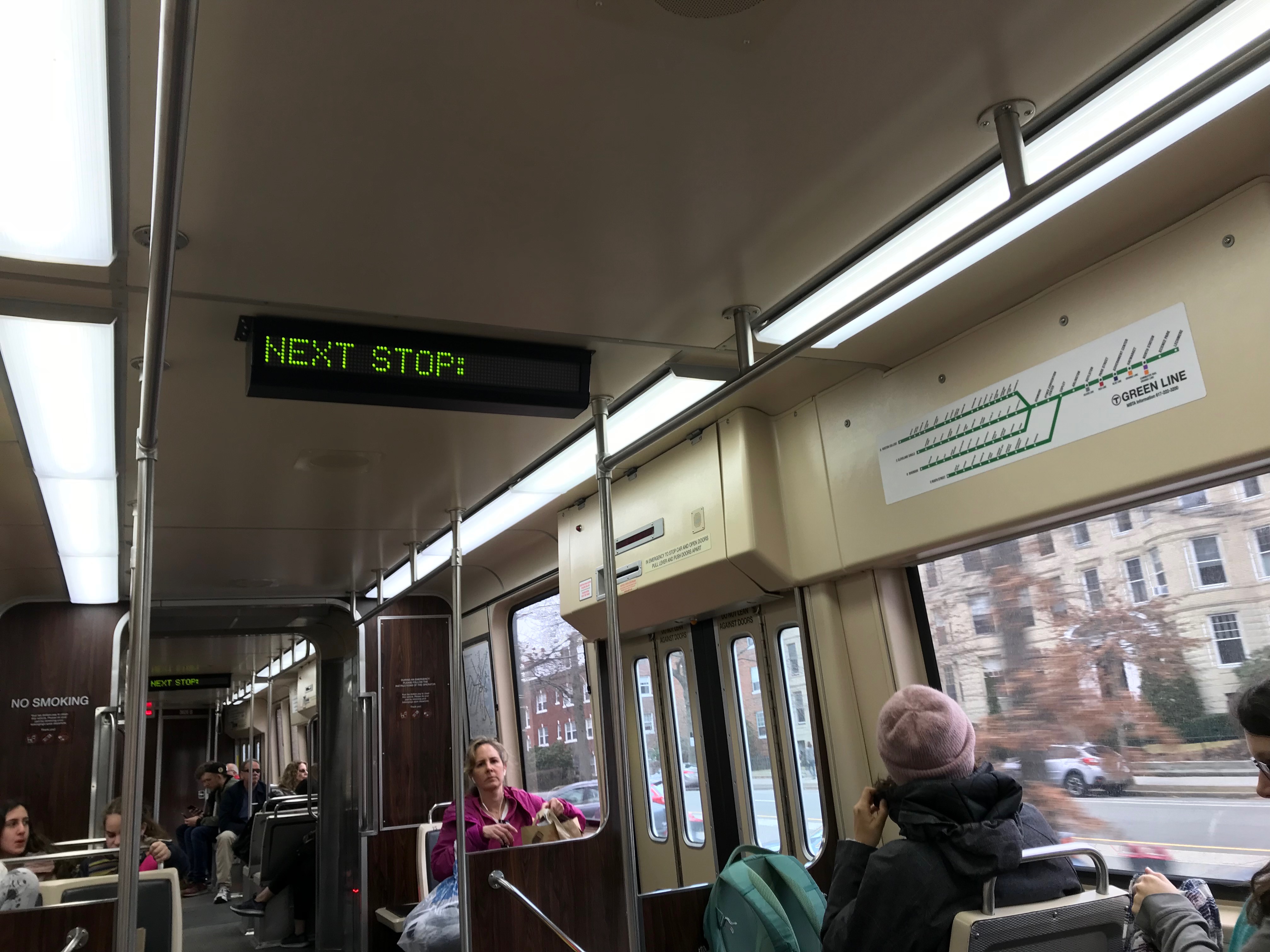
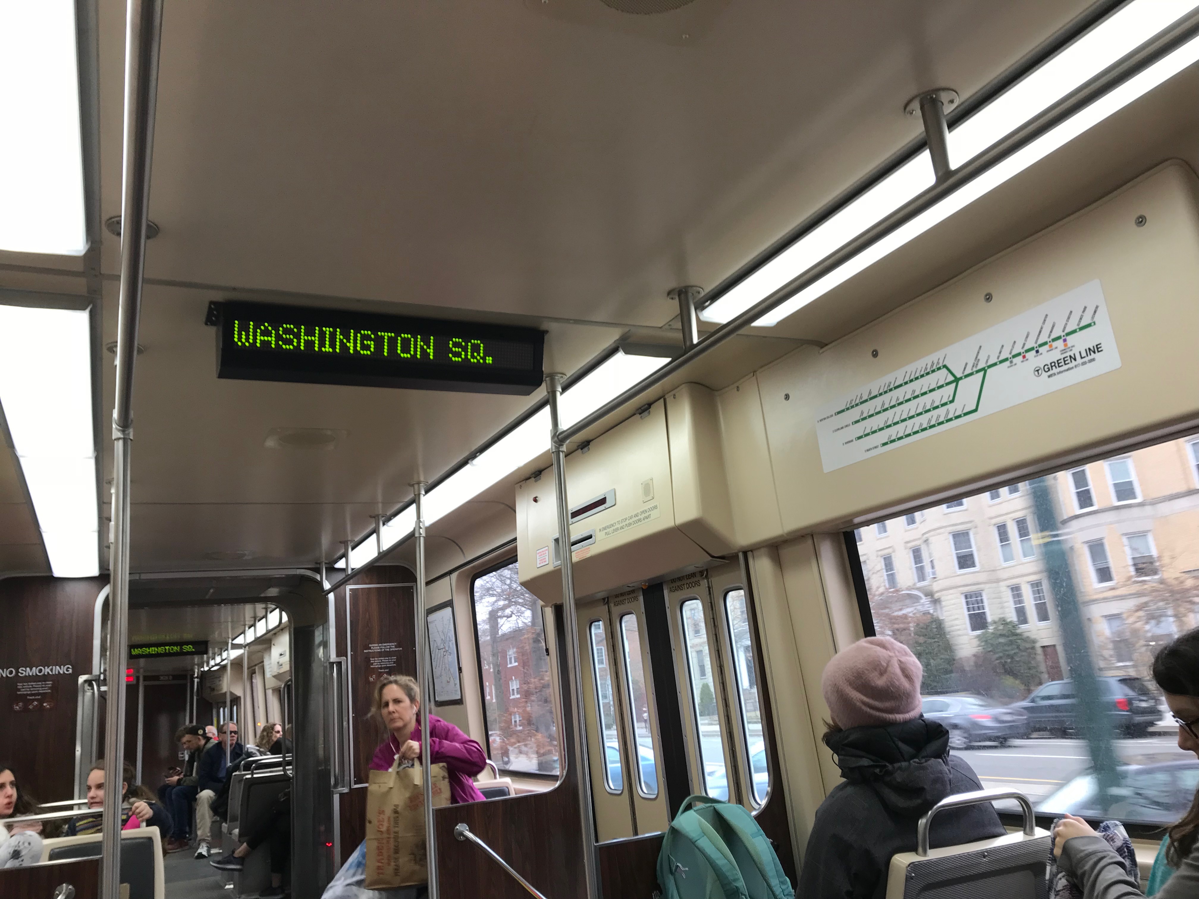
2. Signs on the train and a voice announced the next stops. This paired with Google Maps allowed me to track my progress. |
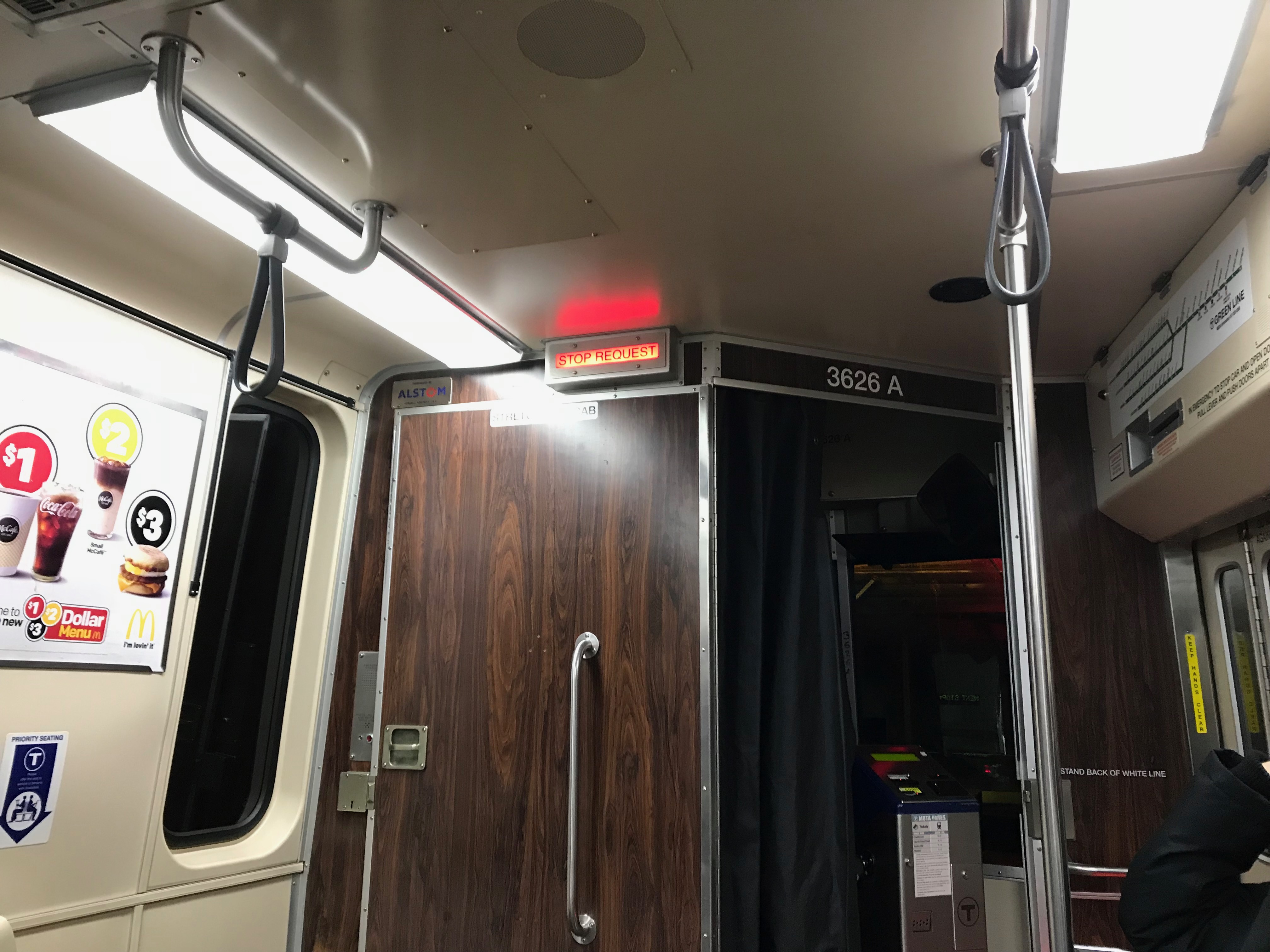
3. I also noticed a light up sign that announced a stop was requested, but I couldn't immediately see the stop buttons like the ones that were on the bus. |
 |
 |
 |
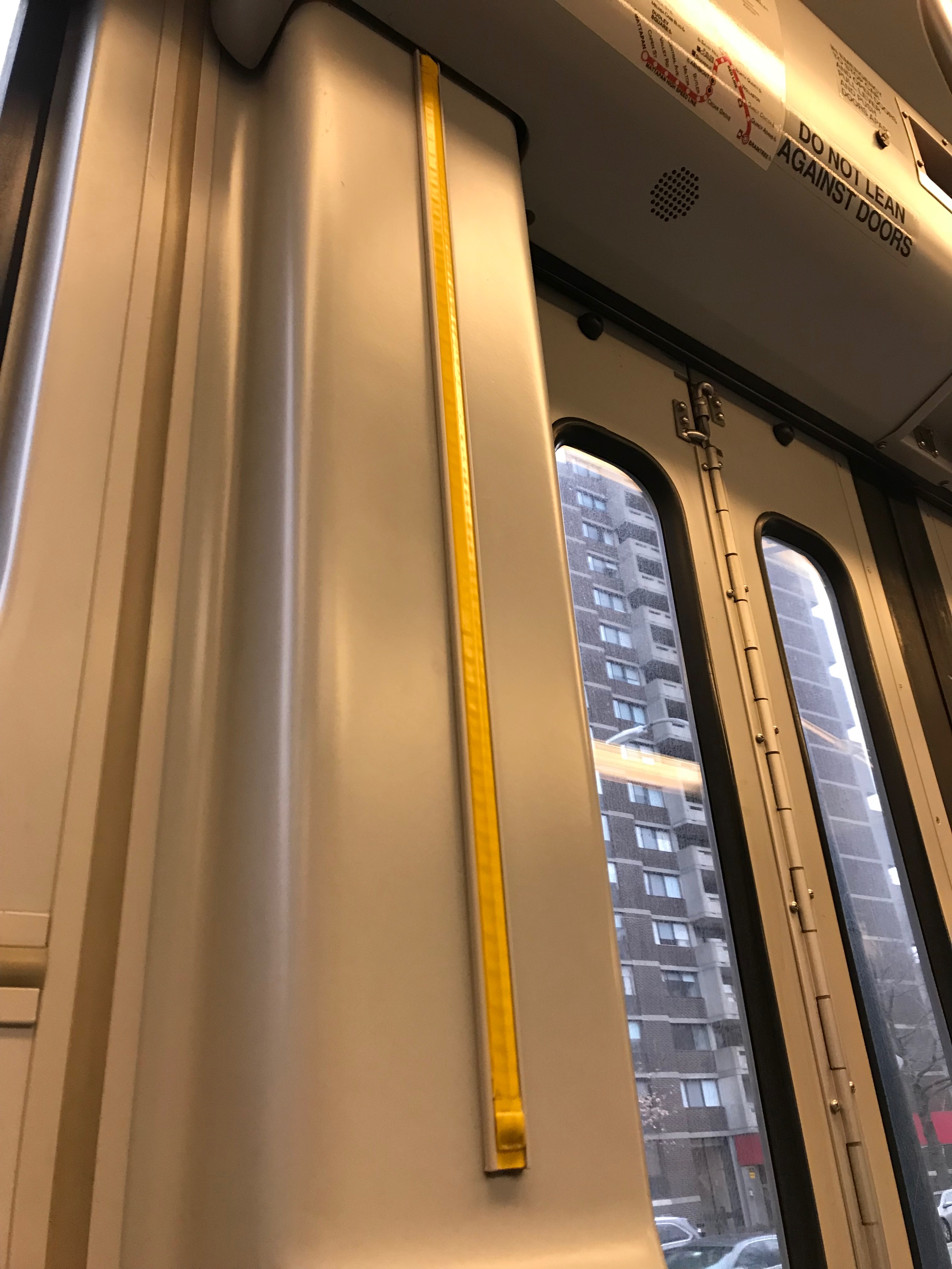
4. After looking around more I found stop tape by the train exit doors, but it wasn't labeled and was hard to find. |
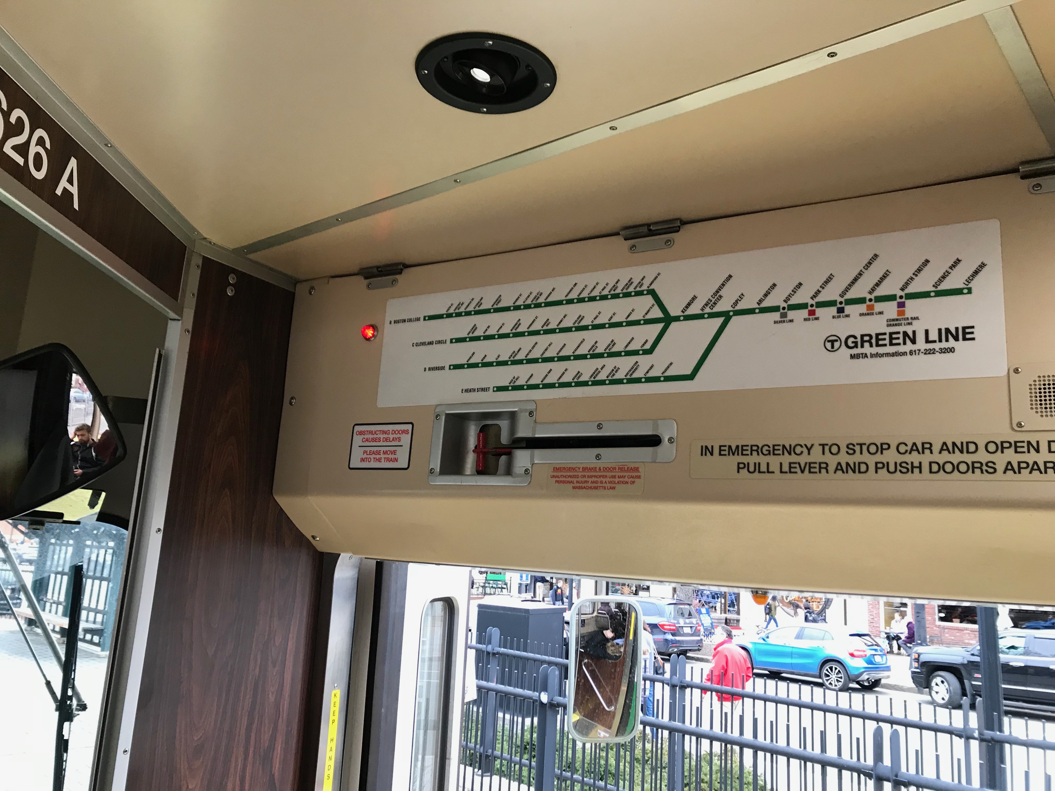
5. I also noticed maps were placed around the train, but the writing was small and they were hard to read. I decided to stick with Google Maps instead. |
6. When I opened Google Maps to track my progress I could see my GPS tracking where I was on my trip. Nearly there! |
 |
 |
 |
7. Finally my stop was announced and I prepared to exit the train. |
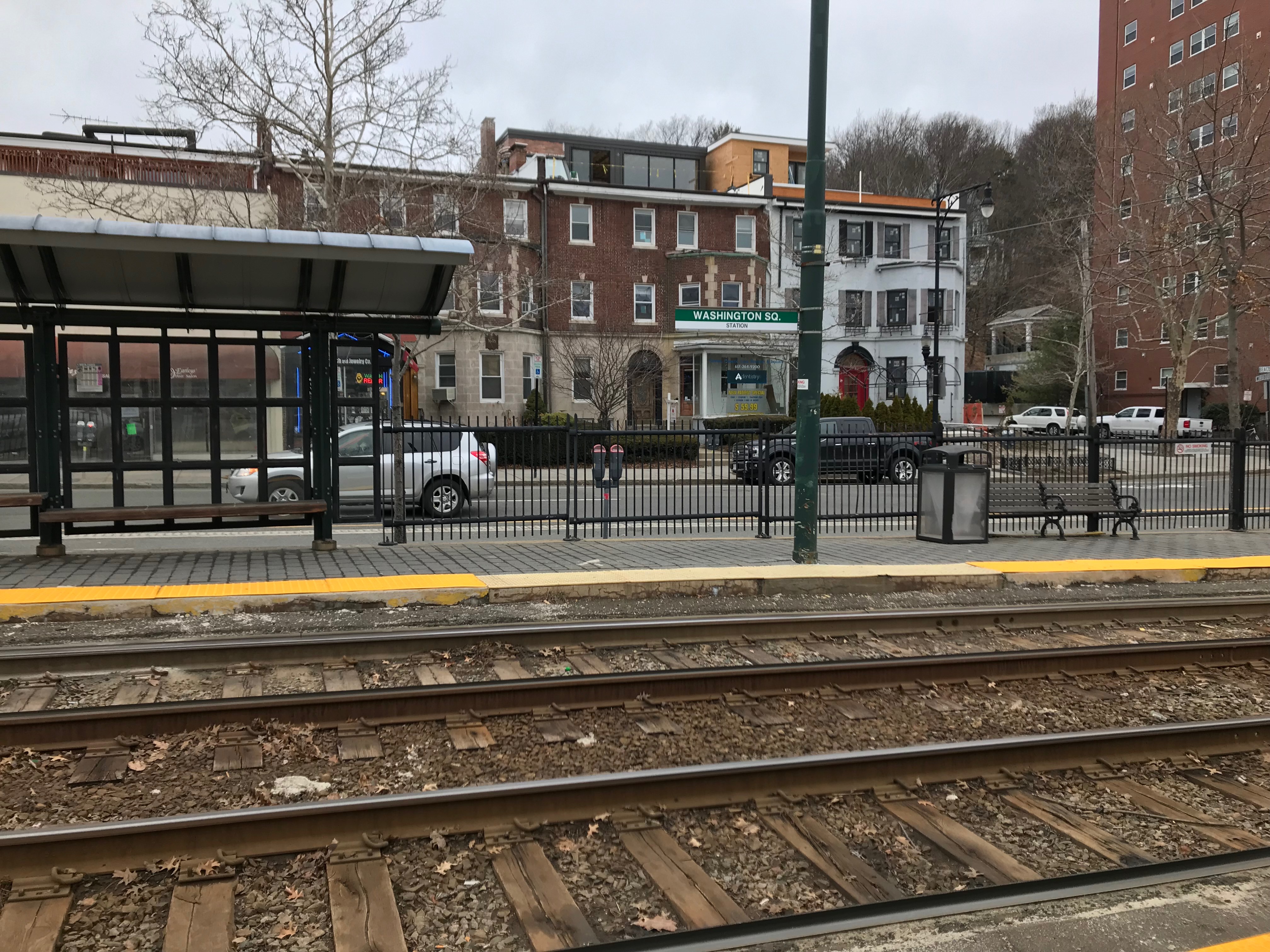
8. I made it successfully off the train and to my stop. |
9. I walked the rest of the way to my destination, now to decide if the cost saving was worth it or if I would be taking an Uber back... |